
TRAILS END CAMPGROUND
USFS · Campground · Fee
Fast facts
- Cost
- Fee charged
- Managed by
- USFS
- Type
- Campground
- Hours
- Quiet hours are 10:00 p.m. until 6:00 a.m.
- Reservations
- fs.usda.gov
- Phone
- (218)388-2212
- Coordinates
- 48.1603, -90.8936
- Last verified
- September 19, 2026


About this place
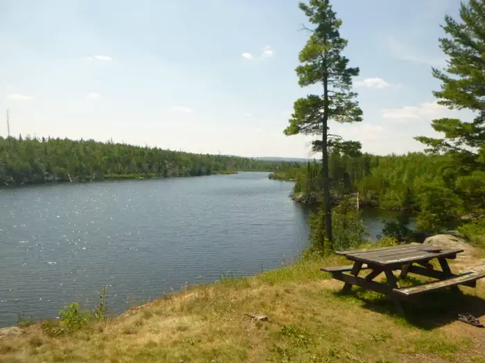
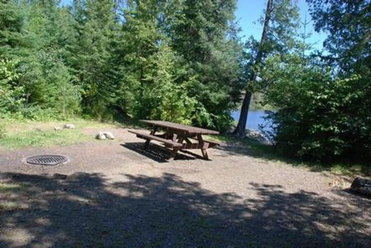
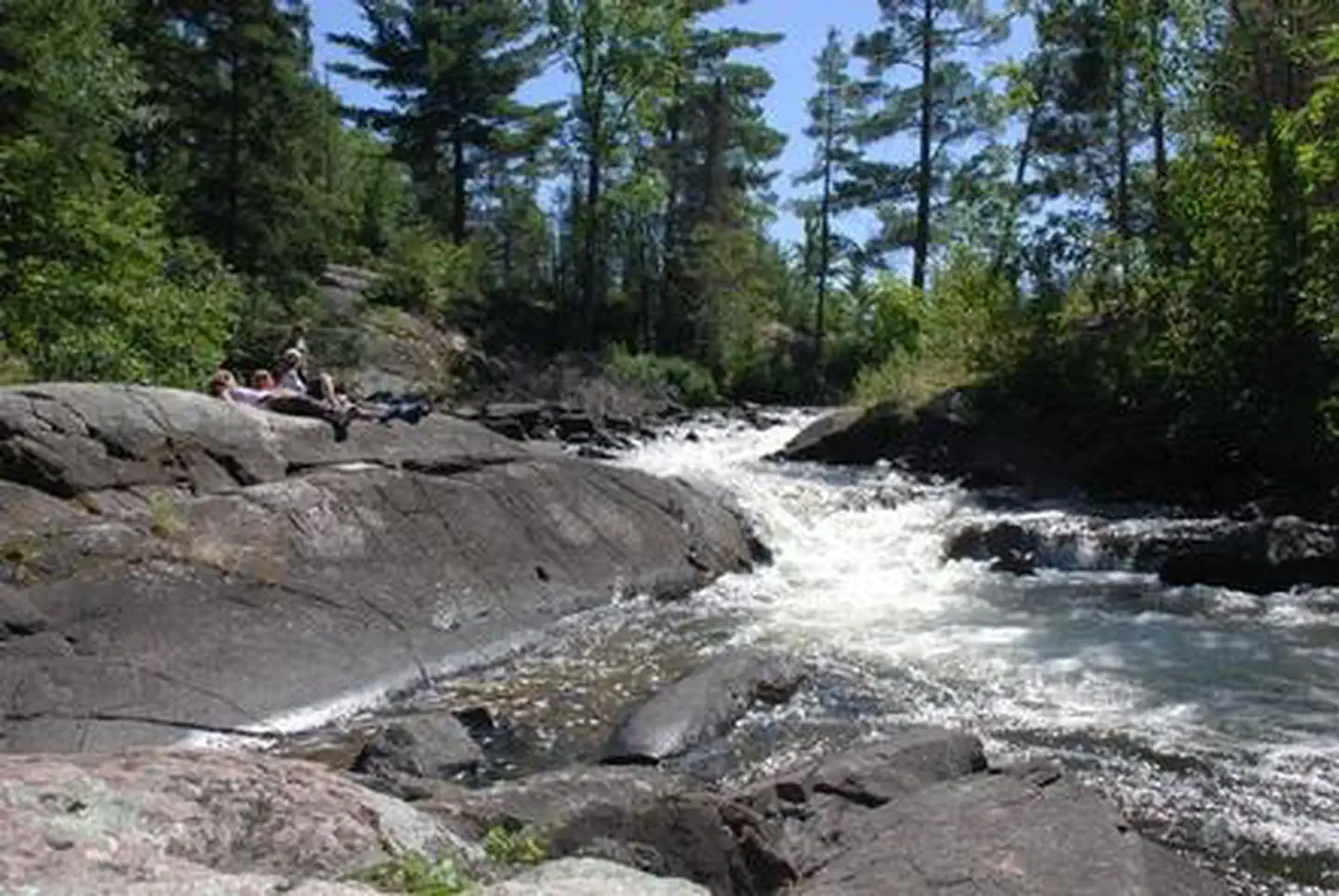
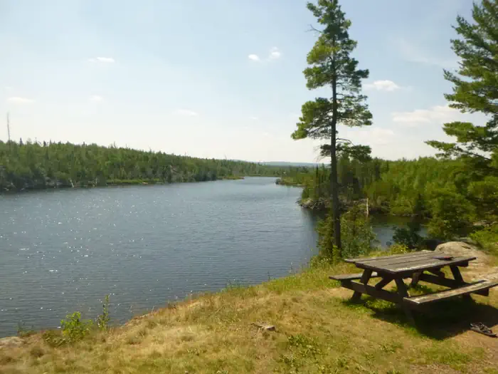
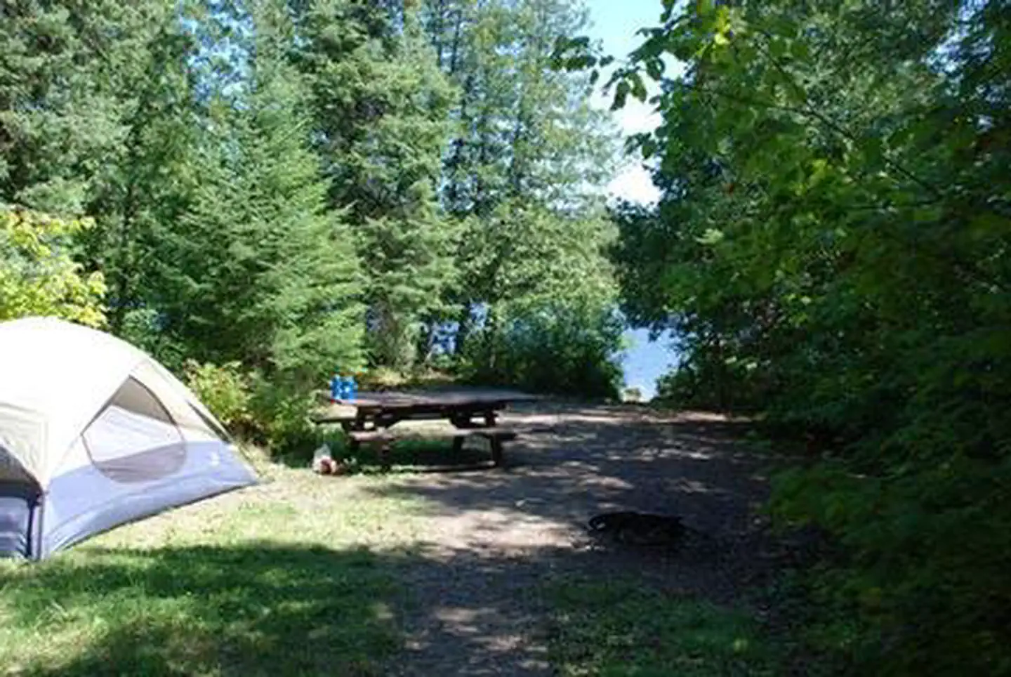
Overview Trail's End Campground is located next to the Boundary Waters Canoe Area Wilderness (BWCAW) in a remote area of Superior National Forest in northern Minnesota. It is a wonderful place to sit and enjoy life, or get out on the water to canoe and fish. Berry picking and wildlife viewing are also great fun. Recreation Trail's End includes four entry points (54, 55, J and K) into the BWCAW, offering plenty of boating, canoeing and fishing opportunities. Overnight, day use and boat motor permits are required for entry, and horsepower limits are in effect. Day use and overnight permits are available at the campground. Wildlife viewing is exceptional for bald eagles, osprey, loons and moose, and fishing is good for walleye, northern pike, smallmouth bass and lake trout. View recreation guides and maps of hiking trails and canoe routes in the national forest. Facilities Many campsites are walk-to sites designated for tent camping only. Some have a view of or access to water, while other have steep drop-offs. Other campsites can accommodate equipment ranging in size from tents to 45-foot RVs. The campground is routinely patrolled by the County Sheriff and campground host. Commercial services include canoe rentals, outfitting, showers, groceries and gear. Long and short term parking for the BWCAW is also available. Natural Features Trail's End sits along the Seagull River and provides access to Seagull, Gull and Saganaga Lakes. Numerous species of wildlife live in and around the campground, and blueberries grow abundantly on the forest floor. White and red pine, aspen and birch trees grow in the forested parts of the facility, providing shade. The fire burned a mosaic pattern, reducing some areas to ash while leaving others untouched. Many trees survived and burned areas have begun to grow again. This is a great opportunity to see a young forest rejuvenate after a fire. Post-fire soils and young trees are delicate, so caution should be taken while walking in the forest. Contact Info For facility specific information, please call (218) 387-1750. Nearby Attractions The nearby Chik-Wauk Museum and Nature Center is a great way to spend an afternoon with the family. Many nature trails crisscross the center's 50-acre grounds. The BWCAW is by far the most popular nearby attraction. Over 1 million acres in size, the Boundary Waters extend nearly 150 miles along the United States-Canada border and contain over 1,200 miles of canoe routes, 12 hiking trails and over 2,000 designated campsites. Boundary Waters Canoe Area Wilderness Additional sites of interest
From the USFS.
Is TRAILS END CAMPGROUND free?
No. TRAILS END CAMPGROUND charges a fee. It is managed by the USFS. Sites are reservable through fs.usda.gov.
How do I get to TRAILS END CAMPGROUND?
From MN 61 in Grand Marais, turn north on CR 12 (Gunflint Trail). Follow CR 12 for 57 miles to the end of the Trail
Nearby
- IRON LAKE14.4 mi
- Iron Lake Campground14.4 mi
- Sawbill Lake Campground20.4 mi
- Sawbill Lake Campground - Superior National Forest20.5 mi
- Baker Lake Rustic Campground22.1 mi
- CRESCENT LAKE (MN)23.0 mi
- FLOUR LAKE CAMPGROUND23.7 mi
- Crescent Lake Campground23.8 mi
No other services within 50 mi on the record.
SourceData from the USFS. Last synced September 19, 2026. Community reports and photos are submitted by travelers and are not verified by the agency.
