
STONY POINT
Campground · Fee not listed
Fast facts
- Cost
- Not listed. Check locally.
- Type
- Campground
- Phone
- 218-547-1044
- Coordinates
- 47.1358, -94.4567
- Last verified
- September 19, 2026
About this place
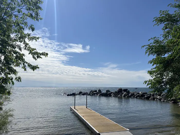
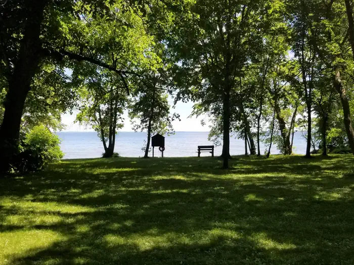
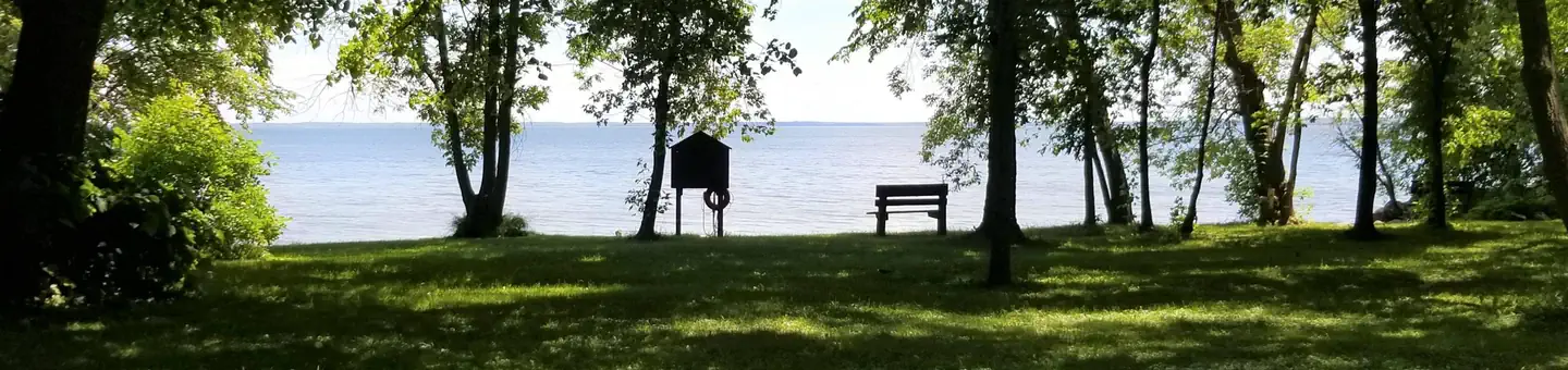
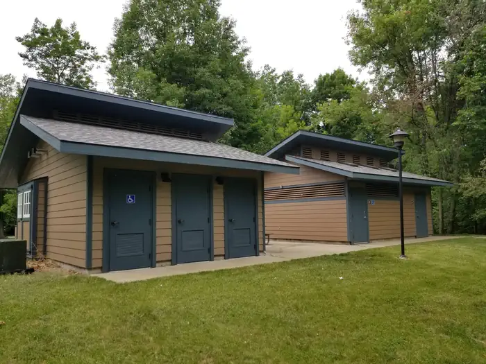
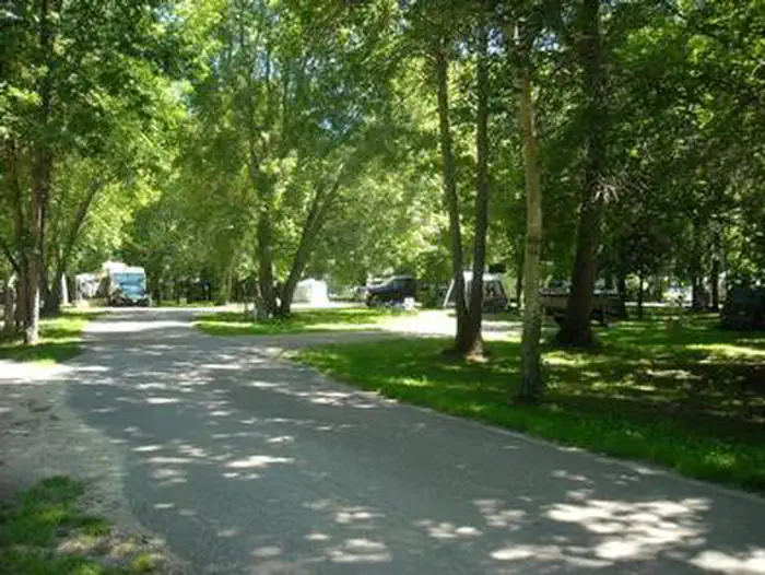
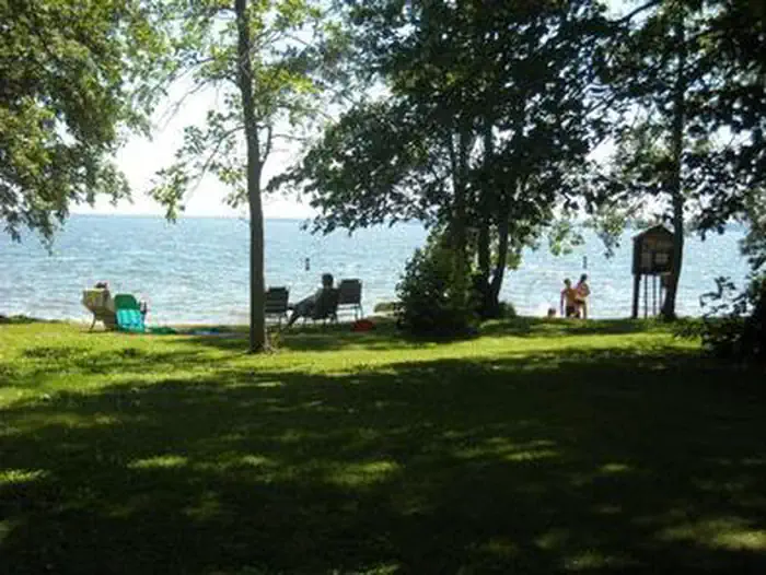
Overview Reservations to all Chippewa National Forest Campgrounds can be made six months in advance. Stony Point is located on beautiful Leech Lake, in the heart of Minnesota's Chippewa National Forest. Visitors enjoy the area for its boating, canoeing, fishing and birding opportunities. Recreation Boating and fishing are very popular activities enjoyed by visitors to the campground. Anglers will find walleye, perch, bass, northern pike and muskie, where every cast has the potential to yield a trophy-sized catch. A boat ramp and dock are located within the campground. Miles of scenic hiking trails meander around Leech Lake, including the Paul Bunyon State Trail, Heartland Trail, Soo Line Trail and North Country National Scenic Trail. Facilities The campground offers sites with 30 amp electric hookups, and one walk-to tent site without electric hookups. Flush and vault toilets, showers, drinking water and a dump station are provided. Natural Features The campground is situated on the banks of Leech Lake in an open, grassy area, surrounded by an old growth forest of oak, elm, maple and ash trees. Some trees are over 200 years old. Leech Lake is the third-largest lake in Minnesota at more than 112,000 acres, with nearly 200 miles of shoreline. Campers commonly hear the telltale call of loons on the water. Nearby Attractions The very popular tourist town of Walker, Minnesota is located approximately 14 miles west of the campground, with a variety of restaurants, shops and festivals available there throughout the year.
From the managing agency.
Is STONY POINT free?
We do not have a fee on record for STONY POINT. Confirm the cost locally before you go.
How do I get to STONY POINT?
STONY POINT is at 47.1358, -94.4567. We do not hold written directions for this one, so navigate to the coordinates.
Nearby
- Stony Point Recreation Area0.1 mi
- W53 Gut Lake . Dispersed Site9.2 mi
- W71 Diamond Lake. Dispersed Site9.6 mi
- W90 Dispersed Camping Site10.1 mi
- Shingobee - NCT W5010.6 mi
- W68 Big Bass Lake. Dispersed Site12.0 mi
- LEECH LAKE REC AREA13.0 mi
- SOUTH PIKE BAY14.5 mi
No other services within 50 mi on the record.
SourceSource data is agency published. Last synced September 19, 2026. Community reports and photos are submitted by travelers and are not verified by the agency.
