
SOUTH PIKE BAY
Campground · Fee not listed
Fast facts
- Cost
- Not listed. Check locally.
- Type
- Campground
- Phone
- 218-547-1044
- Coordinates
- 47.3288, -94.5797
- Last verified
- September 19, 2026
About this place
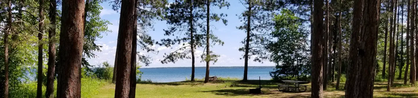
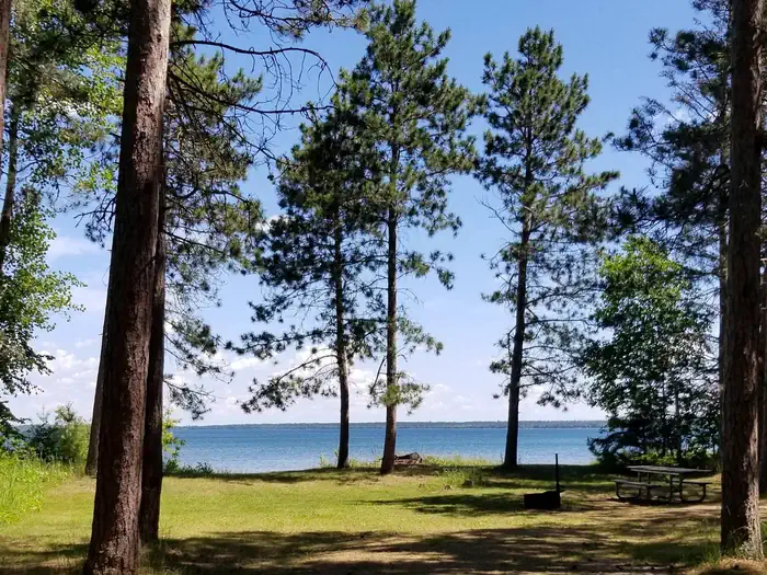
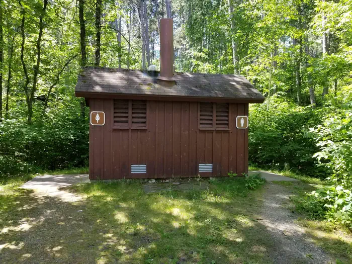
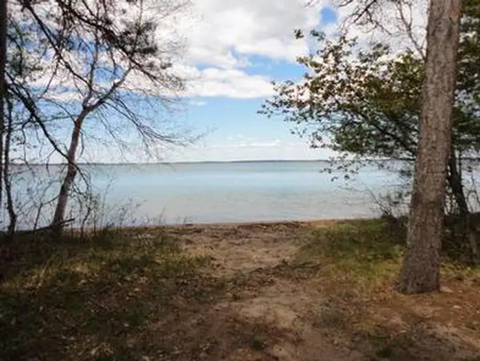
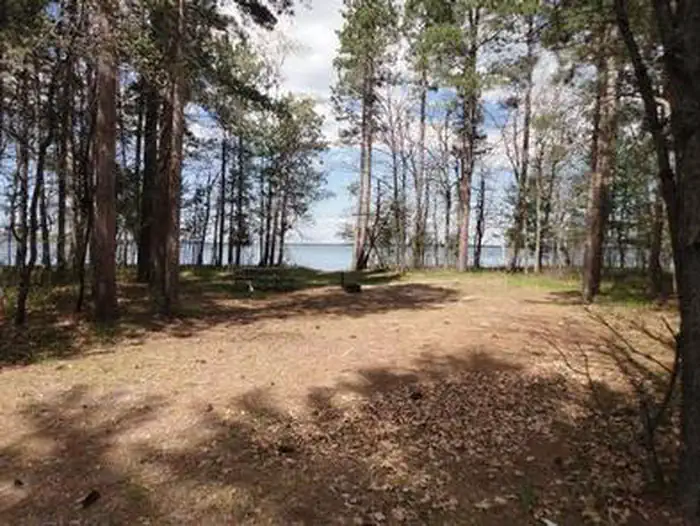
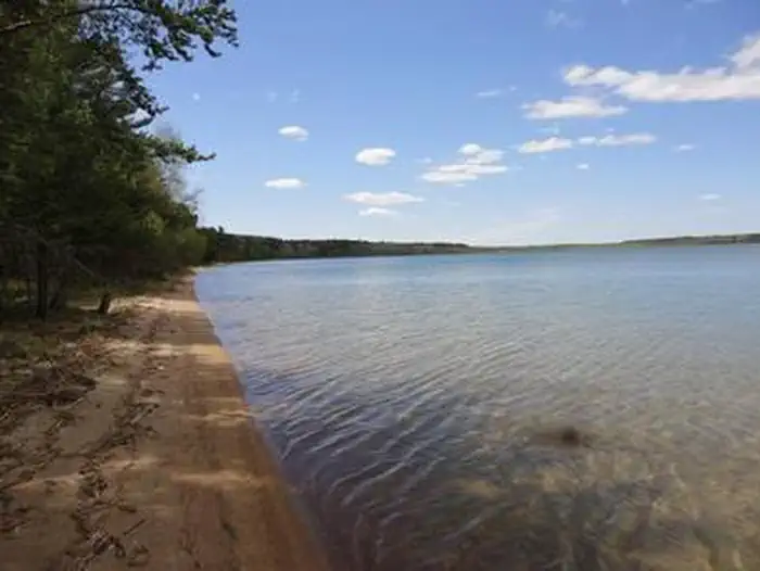
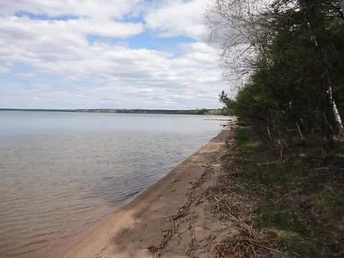
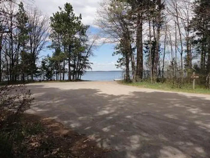
Overview South Pike Bay Campground is located on the south shore of beautiful Pike Bay, on Cass Lake in north central Minnesota. Visitors enjoy the area for its excellent boating, canoeing and fishing opportunities. Recreation South Pike Bay offers offers many recreational activities, including boating, canoeing, water skiing and swimming. Anglers fish for walleye, northern pike, perch and trophy muskie. A boat ramp is located within the campground. A trailhead for the Migizi Bike Trail is on-site. The paved trail stretches 14 miles along the lakeshore and is open to biking, walking and rollerblading. The campground is a portage point for the 128-mile Chippewa Headwaters Loop Canoe Route. With six portages, the historic waterway is considered the most difficult in the forest, but is a beautiful trip through history. Facilities The campground offers 23 non-electric campsites, each equipped with a picnic table and campfire ring. Vault toilets, drinking water and trash collection are provided. Natural Features The campground is a long spur stretching along the shore of Pike Bay in a pleasant stand of mixed hardwoods and old growth pine. Some of the campsites are situated on the beautiful sand beach. Nearby Attractions The town of Cass Lake, Minn., is six miles northwest of the campground, offering restaurants, a bank, grocery and hardware stores, a movie theater and museum.
From the managing agency.
Is SOUTH PIKE BAY free?
We do not have a fee on record for SOUTH PIKE BAY. Confirm the cost locally before you go.
How do I get to SOUTH PIKE BAY?
SOUTH PIKE BAY is at 47.3288, -94.5797. We do not hold written directions for this one, so navigate to the coordinates.
Nearby
- South Pike Bay Recreation Area0.4 mi
- CASS LAKE LOOP3.8 mi
- Cass Lake4.2 mi
- WANAKI LOOP4.4 mi
- NORWAY BEACH LOOP4.4 mi
- NORWAY BEACH PICNIC SHELTER4.4 mi
- CHIPPEWA LOOP5.0 mi
- Wanaki Campground/Boat Access5.3 mi
No other services within 50 mi on the record.
SourceSource data is agency published. Last synced September 19, 2026. Community reports and photos are submitted by travelers and are not verified by the agency.
