
SOUTH KAWISHIWI RIVER
Campground · Fee not listed
Fast facts
- Cost
- Not listed. Check locally.
- Type
- Campground
- Phone
- KAWISHIWI RANGER DISTRICT: 218-365-7600, CONCESSIONAIRE (SUMMER): 218-365-2963
- Coordinates
- 47.8156, -91.7314
- Last verified
- September 19, 2026
About this place
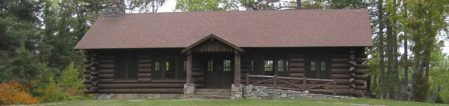
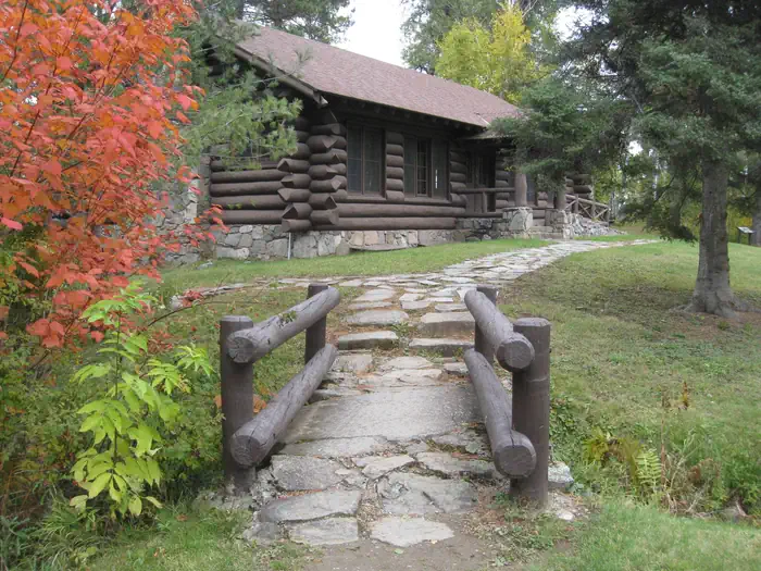
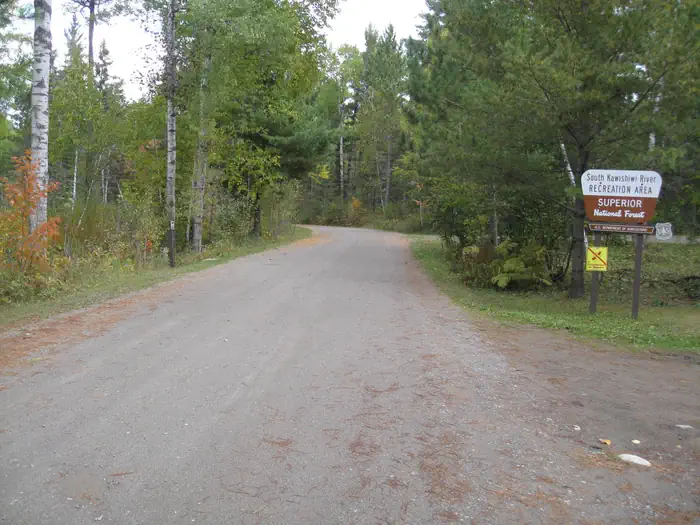
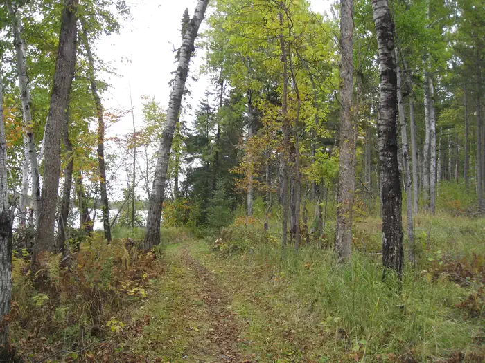
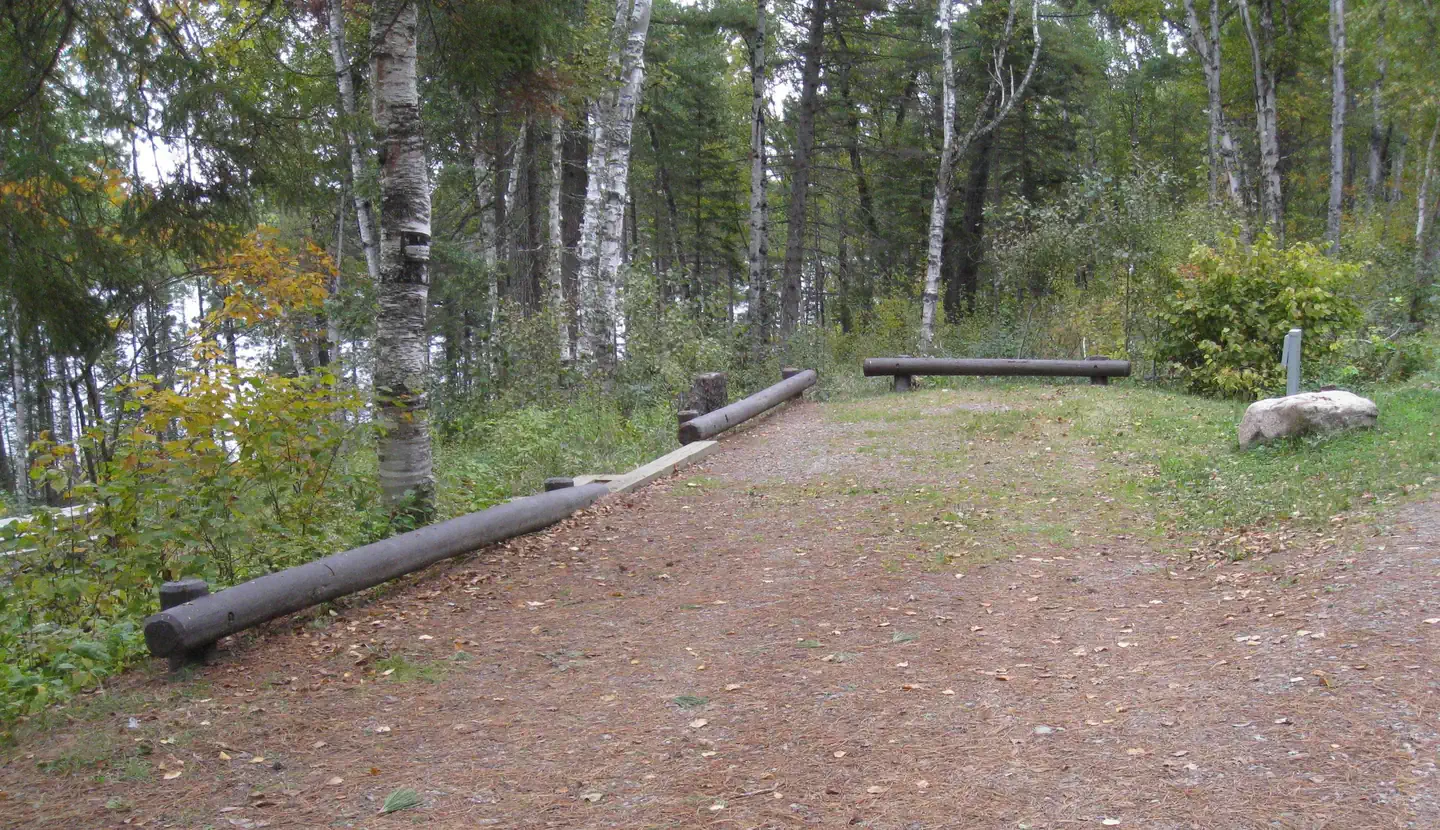
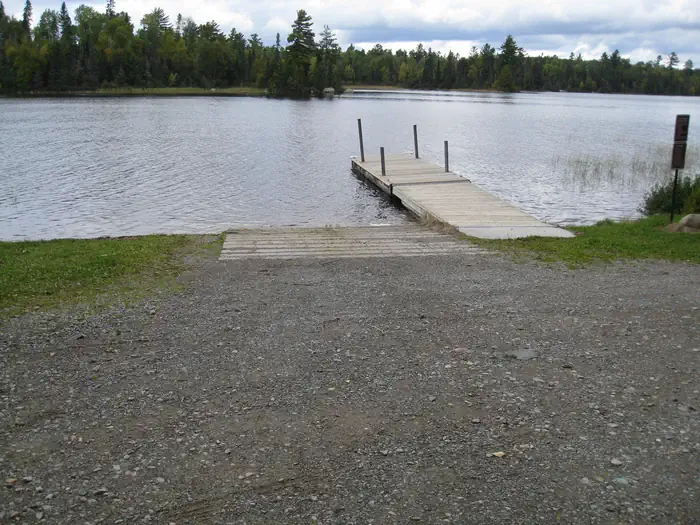
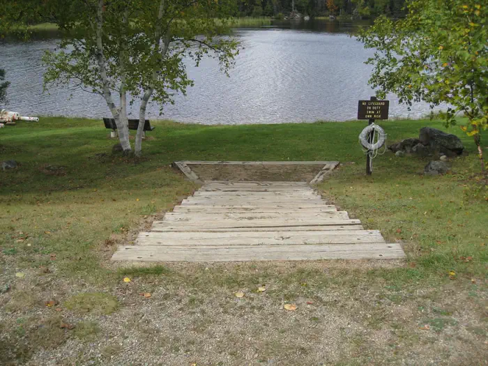
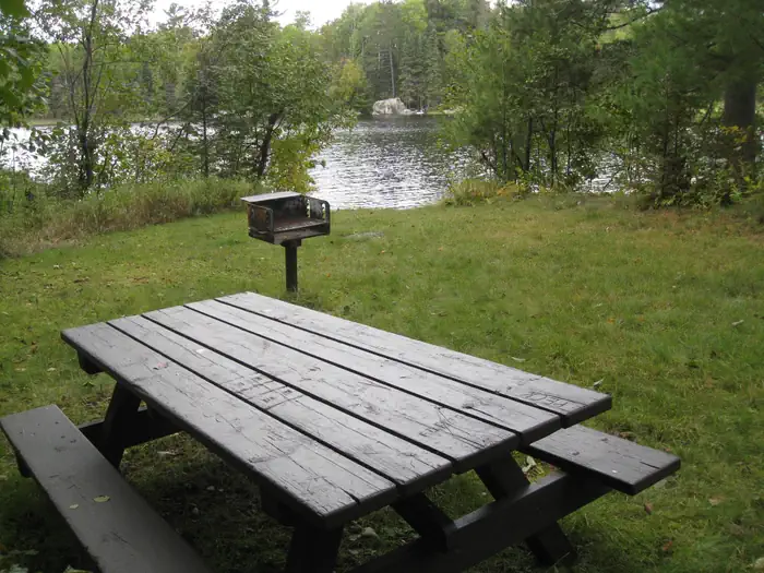
Overview South Kawishiwi River Campground is located in Superior National Forest near the Boundary Waters Canoe Area Wilderness, about 10 miles from Ely, Minnesota. It offers fishing, boating and other recreational activities in a relaxing outdoor setting. The campground has sites with and without electric hookups, as well as one group day use area great for family picnics, birthday parties and other gatherings of up to 35 people. Recreation Canoeing is a main attraction. The Kawishiwi River provides access to Birch Lake to the south and the Boundary Waters to the north. When traveling in the Boundary Waters Canoe Area Wildnerness, a permit is required. Canoe rentals are available by contacting the host. Closer to shore, visitors can enjoy an afternoon of swimming at the campground's grassy beach, hiking the 1-mile Kawishiwi River Forest Trail or trying their luck at fishing for northern pike, perch and walleye. A boat ramp is located on-site. View recreation guides and maps of hiking trails and canoe routes in the national forest. Facilities The campground offers individual campsites and one group picnic area that can be reserved for day use. Sites are spacious, private, well-maintained and shaded. Visitors will find vault toilets, drinking water and trash bins within the facility. Firewood is available for purchase. Natural Features The scenic Kawishiwi River boasts clear, cold and calm waters lined with boreal forest and wetland ecosystems. Wildlife abounds in Superior National Forest, from moose and bear to bald eagles and loons. The campground lies in a mixed aspen, birch and conifer forest. Superior National Forest, located in northeastern Minnesota's Arrowhead Region, is comprised of 3-million acres. The forest spans 150 miles along the United States-Canada border. Contact Info For facility specific information, please call (218) 365-2963. Nearby Attractions Numerous outdoor recreation opportunities lie within Superior National Forest's 77 lake accesses, 13 fishing piers, 10 swimming beaches and 22 picnic areas. The forest is also home to three scenic byways. Campers can also explore the nearby Boundary Waters Canoe Area Wilderness. Over 1-million acres in size, the Boundary Waters extends nearly 150 miles along the United States-Canada border and contains over 1,200 miles of canoe routes, 12 hiking trails and over 2,000 designated campsites. Boundary Waters Canoe Area Wilderness Additional sites of interest
From the managing agency.
Is SOUTH KAWISHIWI RIVER free?
We do not have a fee on record for SOUTH KAWISHIWI RIVER. Confirm the cost locally before you go.
How do I get to SOUTH KAWISHIWI RIVER?
SOUTH KAWISHIWI RIVER is at 47.8156, -91.7314. We do not hold written directions for this one, so navigate to the coordinates.
Nearby
- South Kawishiwi River Campground0.0 mi
- BIRCH LAKE CAMPGROUND4.7 mi
- Fall Lake Campground9.5 mi
- FALL LAKE9.5 mi
- FENSKE LAKE CAMPGROUND15.0 mi
- McDougal Lake Campground15.1 mi
- Little Isabella River Campground18.3 mi
- Big Lake21.1 mi
No other services within 50 mi on the record.
SourceSource data is agency published. Last synced September 19, 2026. Community reports and photos are submitted by travelers and are not verified by the agency.
