
FALL LAKE
Campground · Fee not listed
Fast facts
- Cost
- Not listed. Check locally.
- Type
- Campground
- Phone
- KAWISHIWI RANGER DISTRICT: 218-365-7600, CONCESSIONAIRE (SUMMER): 218-365-2963
- Coordinates
- 47.9525, -91.7164
- Last verified
- September 19, 2026

About this place
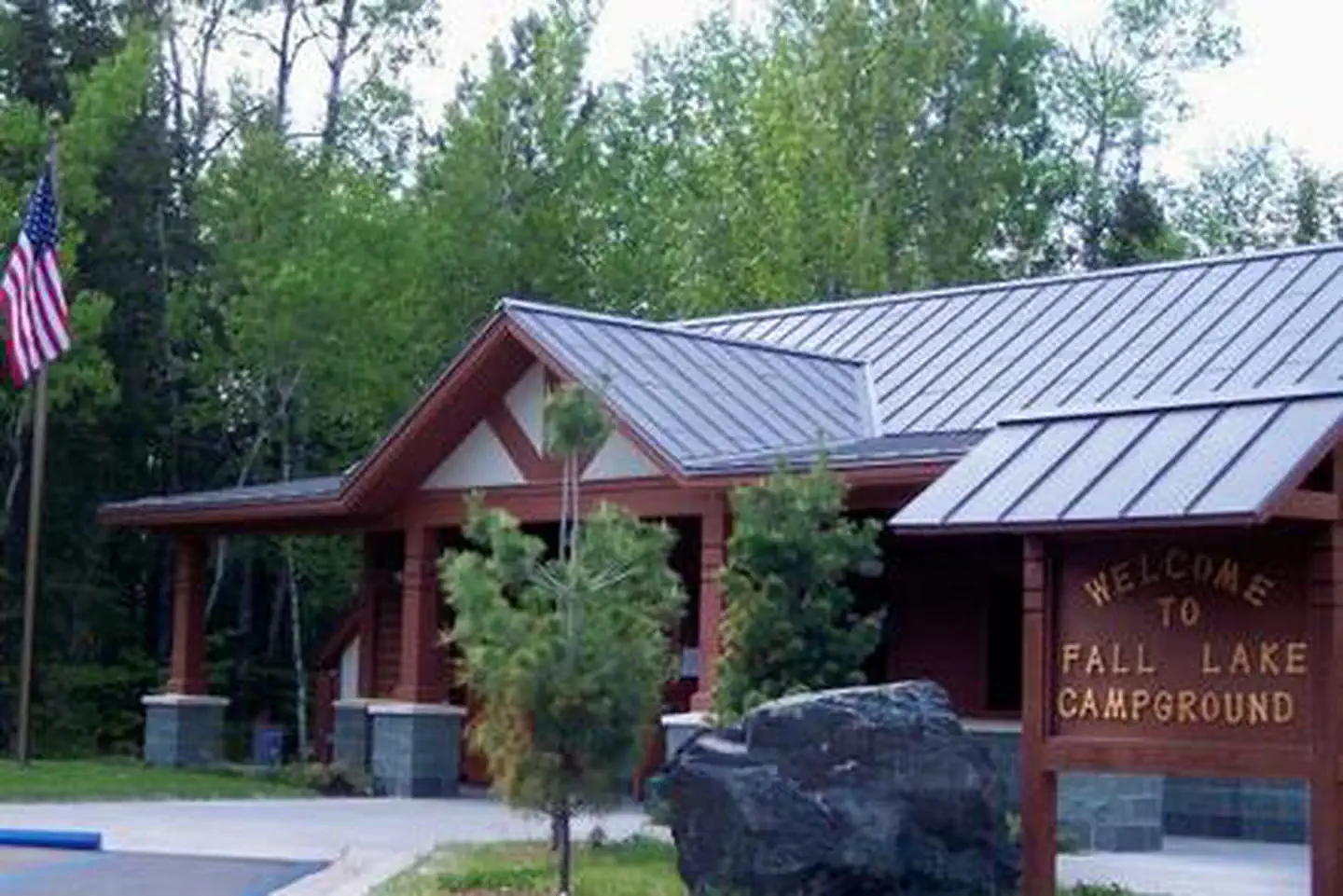
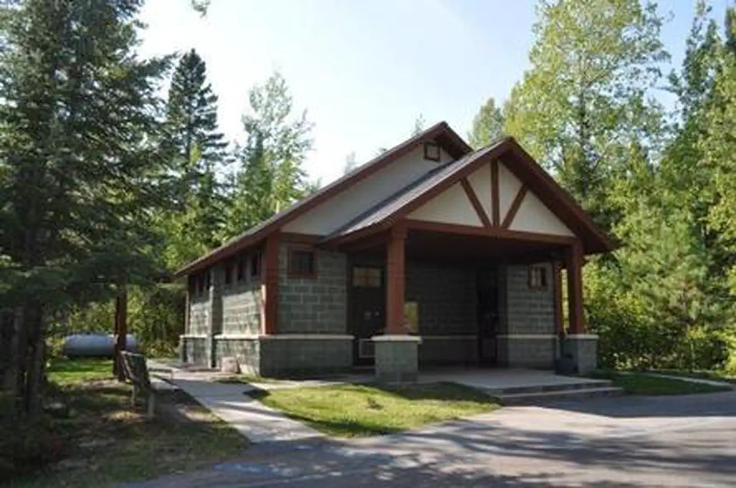
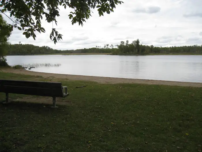
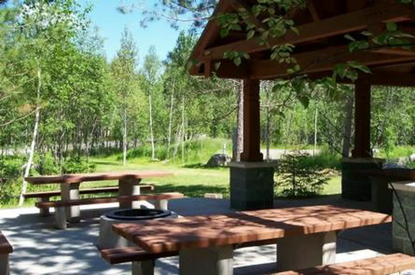
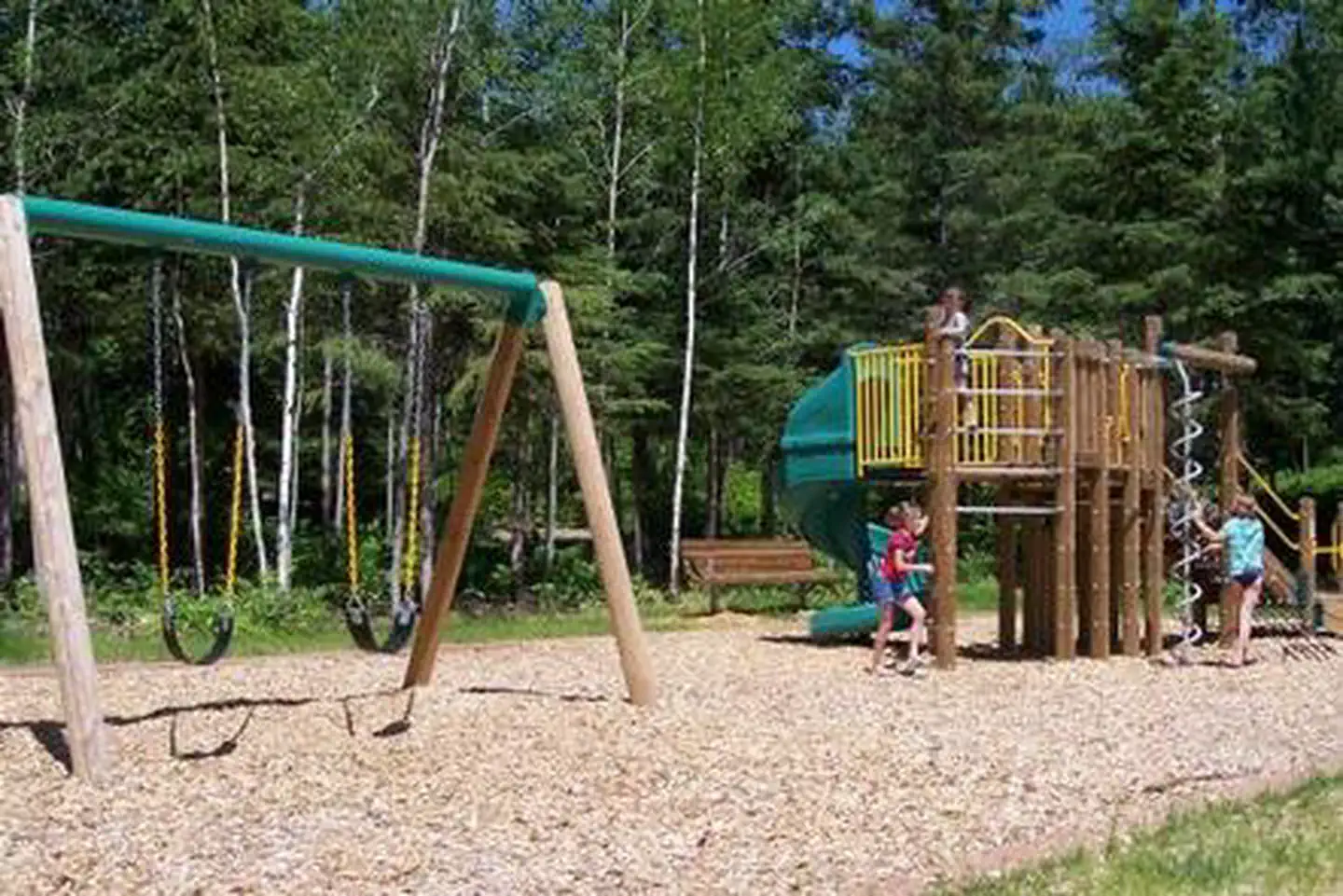
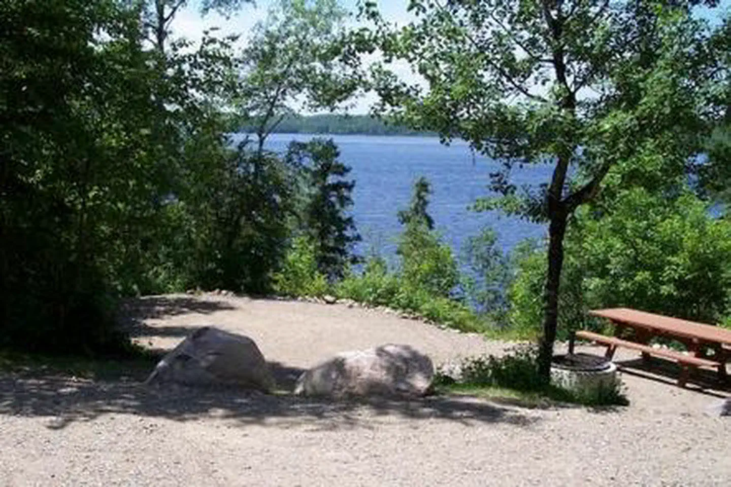
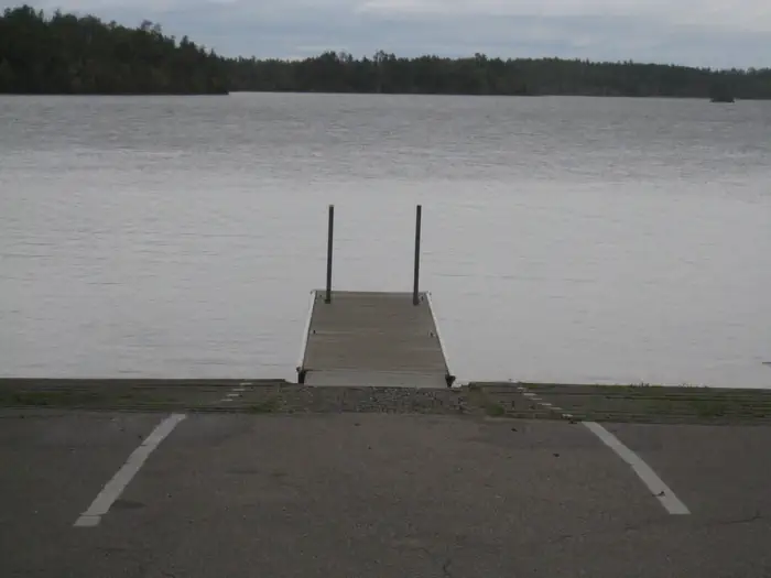
Overview Fall Lake Campground is located on the shores of Fall Lake and provides direct access into the Boundary Waters Canoe Area Wilderness (BWCAW). The campground opens in early May in time for walleye fishing season, making it a popular place for anglers. Others are drawn to Fall Lake for its birding, swimming, hiking and boating opportunities. Superior National Forest, located in northeastern Minnesota's arrowhead region, is comprised of 3 million acres. The forest spans 150 miles along the United States-Canada border. Recreation Part of Fall Lake lies within the BWCAW, while the rest of the lake is open to unrestricted boating, permits are required to enter the BWCAW. View recreation guides and maps of hiking trails and canoe routes in the national forest. Kids love the campground's swimming beach, playground and picnic area. A 1.5 mile hiking trail is also a favorite pastime for families. Anglers can try their luck for smallmouth bass, walleye, northern pike, crappie, perch and bluegill. Some campers might be interested in the unique opportunity to view the visitor center's display of replica artifacts found during archaeological digs within the campground and surrounding areas. There's no shortage of popular local events to attend, including the City of Ely's July 4th fireworks, the Blueberry Festival (the last full weekend in July) and the Harvest Moon Festival-mid September. Facilities This lake has some sites that can be reserved and some that are first-come, first-served. Many sites at Fall Lake are made to accommodate RVs including pull-through sites. Trees provide privacy between most campsites. The facility is very accessible. A store, canoe rentals, firewood and ice are available at the facility, and a campground host is on-site during the season. Natural Features The campground is nestled among majestic pine and abundant aspen and fir trees, providing the ultimate northwoods setting. Average summer temperatures are a pleasant 60-75 degrees. Birds and wildlife are abundant. Nearby Attractions Guests may want to take a day trip to the Dorothy Molter Museum, International Wolf Center, North American Bear Center, Ely-Winton History Museum or Soudan Mine. By far the most popular nearby attraction is the Boundary Waters Canoe Area Wilderness . Over one million acres in size, the Boundary Waters contain over 1,200 miles of canoe routes, 12 hiking trails and over 2,000 designated campsites. Contact Info For facility specific information, please call (218) 365-2963.
From the managing agency.
Is FALL LAKE free?
We do not have a fee on record for FALL LAKE. Confirm the cost locally before you go.
How do I get to FALL LAKE?
FALL LAKE is at 47.9525, -91.7164. We do not hold written directions for this one, so navigate to the coordinates.
Nearby
- Fall Lake Campground0.0 mi
- South Kawishiwi River Campground9.5 mi
- SOUTH KAWISHIWI RIVER9.5 mi
- FENSKE LAKE CAMPGROUND9.6 mi
- BIRCH LAKE CAMPGROUND13.9 mi
- McDougal Lake Campground23.1 mi
- Little Isabella River Campground25.0 mi
- Section 29 Lake Rustic Campground26.5 mi
No other services within 50 mi on the record.
SourceSource data is agency published. Last synced September 19, 2026. Community reports and photos are submitted by travelers and are not verified by the agency.
