
POKEGAMA DAM CAMPGROUND
Campground · Fee not listed
Fast facts
- Cost
- Not listed. Check locally.
- Type
- Campground
- Phone
- 218-326-6128
- Coordinates
- 47.2500, -93.5833
- Last verified
- September 19, 2026
About this place
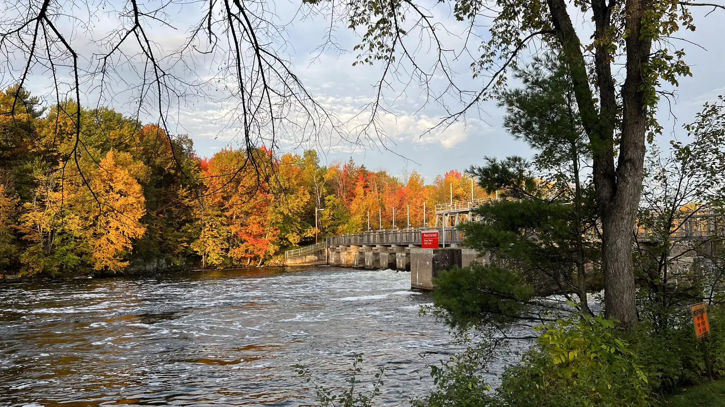
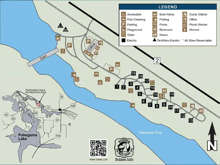
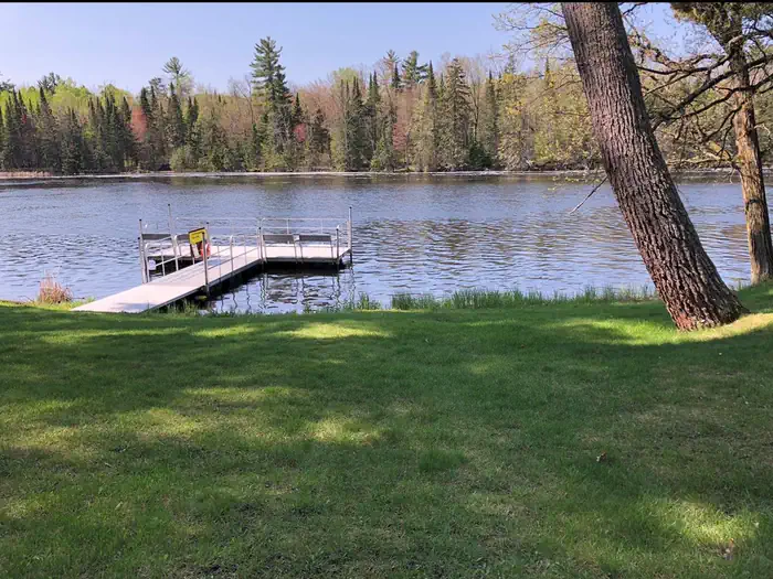
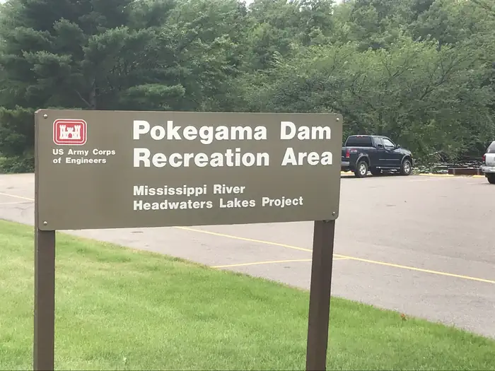
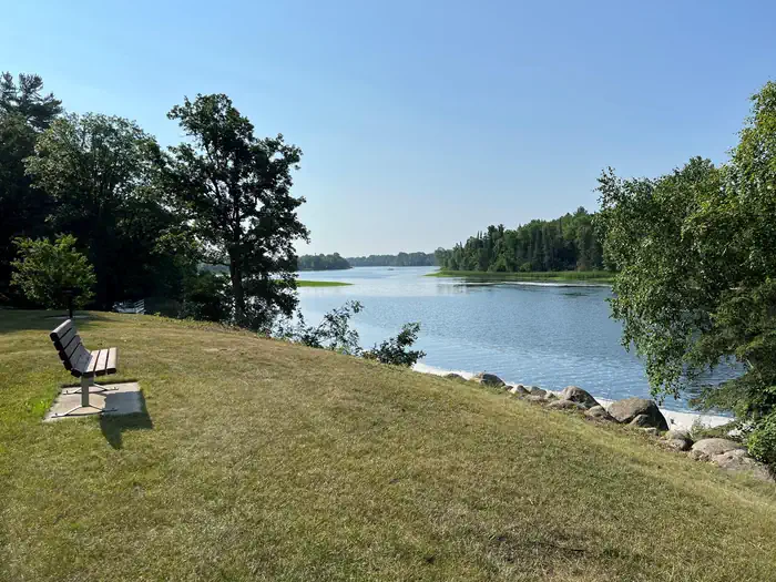
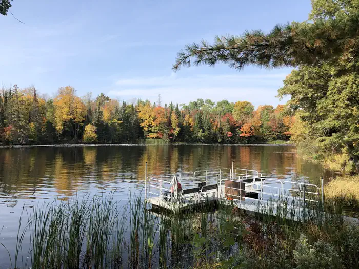
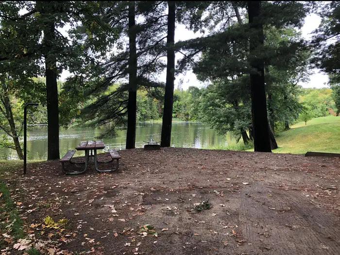
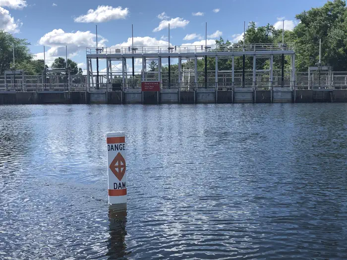
Overview Pokegama Dam Campground (USACE) is situated in the heart of northern Minnesota's lake country next to the Mississippi River. Popular activities include boating, fishing, picnicking and wildlife viewing. Recreation The Mississippi River offers great opportunities for boating and fishing. Anglers will find Walleye, Northern Pike, Blue gills, sunfish, Large and Small mouth Bass among other species. Birders enjoy viewing Bald eagles, loons, ducks, geese and many other species from the banks of the park. Facilities The campground, pronounced "po-KEG-uh-muh," offers 19 electric back in sites, two primitive tent-only sites (non-electric) and one day-use picnic shealter with electric. Amenities include flush toilets, showers, drinking water, a dump station, boat ramp, playground and a fish cleaning station. Natural Features A forest of mixed hardwoods and towering red pines cover the area, housing an abundance of wildlife including bald eagles, porcupines, black bears chipmunks and many others. Wild blackberries, raspberries, and blueberries grow seasonally on the forest floor. Nearby Attractions Judy Garland Museum, Forest History Center, Itasca County historical Society, Childerns Discovery Museum, Tioga Beach, Mesabi Bike Trail
From the managing agency.
Is POKEGAMA DAM CAMPGROUND free?
We do not have a fee on record for POKEGAMA DAM CAMPGROUND. Confirm the cost locally before you go.
How do I get to POKEGAMA DAM CAMPGROUND?
POKEGAMA DAM CAMPGROUND is at 47.2500, -93.5833. We do not hold written directions for this one, so navigate to the coordinates.
Nearby
- Wabana Lake Dispersed Campsite13.1 mi
- Trout Lake Beach Dispersed Campsite14.5 mi
- Trout Lake Golf Course Dispersed Campsit14.7 mi
- NORTH STAR 21.4 mi
- North Star Campground21.5 mi
- W4724.4 mi
- CLUBHOUSE LAKE24.9 mi
- Clubhouse24.9 mi
No other services within 50 mi on the record.
SourceSource data is agency published. Last synced September 19, 2026. Community reports and photos are submitted by travelers and are not verified by the agency.
