
CLUBHOUSE LAKE
USFS · Campground · Fee
Fast facts
- Cost
- Fee charged
- Managed by
- USFS
- Type
- Campground
- Phone
- 218-246-2123
- Coordinates
- 47.6097, -93.5769
- Last verified
- September 19, 2026
About this place
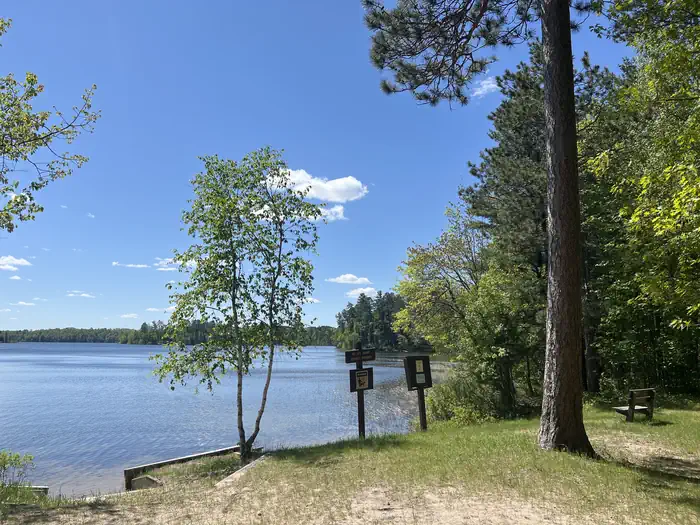
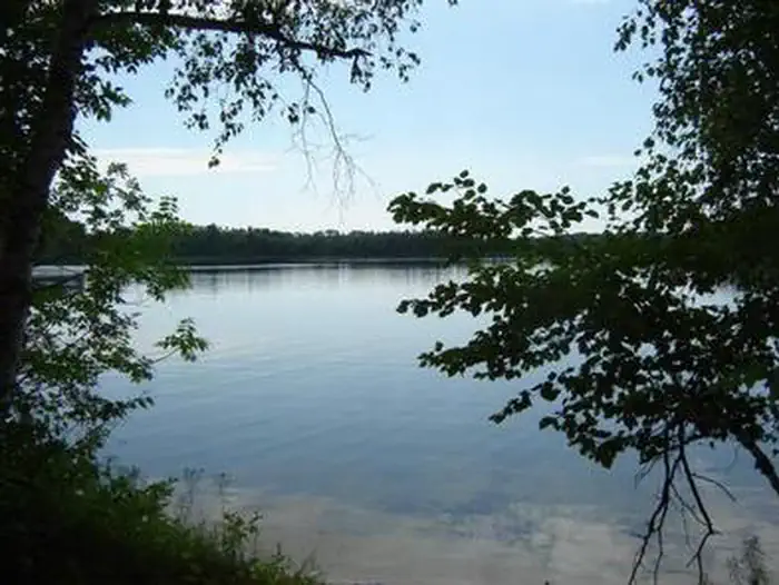
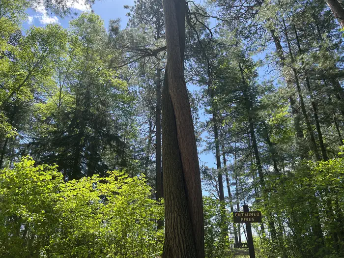
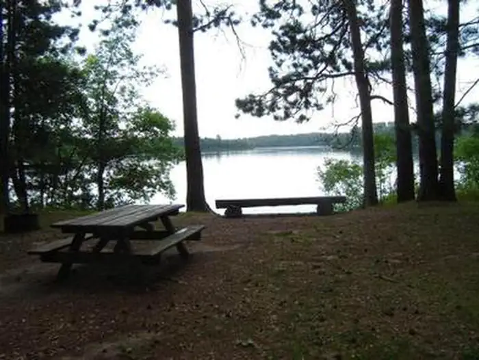
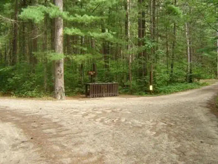
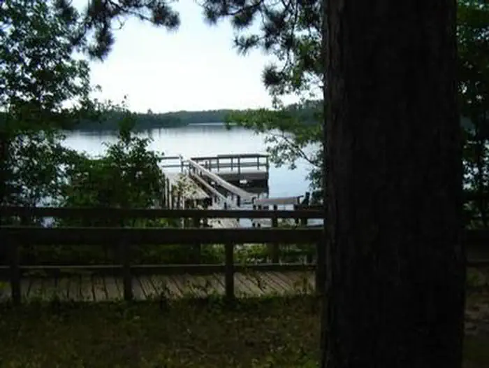
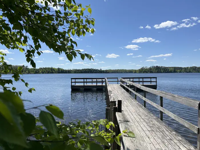
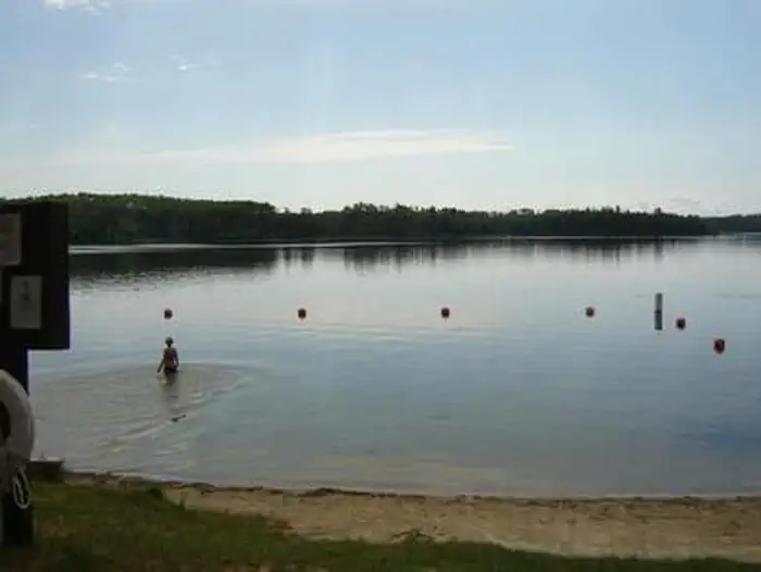
Overview Clubhouse Lake Campground is located on its peaceful namesake in the beautiful Chippewa National Forest. Visitors enjoy the area for its fishing and canoeing opportunities in a scenic natural setting. Clubhouse Lake has limited cell phone service, giving it a remote feeling and offering a tranquil retreat from a connected world. The campground lies off 31 miles north of Grand Rapids, MN and just over 8 miles east of Marcell, MN off of MN State Highway 38 - the nation's first National Scenic Byway, known as "The Edge of the Wilderness." Recreation Clubhouse Lake has excellent water quality and is about 90 feet deep, providing great fishing opportunities for northern pike, bass and panfish. Swimming, canoeing and kayaking are very popular activities on the lake. The Rice River Canoe Route starts its journey to the Big Fork River from waters that flow into Clubhouse Lake. A sandy swimming beach, an accessible fishing pier, and a day use area with horshoe pits are located within the campground at the water's edge. Facilities The campground offers 28 reservable sites and 19 first-come, first-served, single-unit campsites. Each site is equipped with a picnic table and campfire ring. Two vault toilets and two hand pumps for drinking water are provided. The campground is patrolled regularly by Forest Service personnel and Itasca County law enforcement officers. Natural Features A beautiful stand of 200-year-old red and white pine trees cover the campground on the western shore of Clubhouse Lake. Nearby Attractions The Edge of the Wilderness Discovery Center is located a half-mile north of Marcell. It is a must-see for anyone camping in the area. The brand new facility offers many excellent displays, a gift shop, and several weekly naturalist programs.
From the USFS.
Is CLUBHOUSE LAKE free?
No. CLUBHOUSE LAKE charges a fee. It is managed by the USFS.
How do I get to CLUBHOUSE LAKE?
CLUBHOUSE LAKE is at 47.6097, -93.5769. We do not hold written directions for this one, so navigate to the coordinates.
Nearby
- Clubhouse0.0 mi
- North Star Campground5.1 mi
- NORTH STAR 5.1 mi
- Trout Lake Golf Course Dispersed Campsit10.2 mi
- Trout Lake Beach Dispersed Campsite10.6 mi
- Wabana Lake Dispersed Campsite12.2 mi
- Noma Lake Dispersed Campground20.8 mi
- ONEGUME22.9 mi
No other services within 50 mi on the record.
SourceData from the USFS. Last synced September 19, 2026. Community reports and photos are submitted by travelers and are not verified by the agency.
