
HIGHLAND RIDGE
Campground · Fee not listed
Fast facts
- Cost
- Not listed. Check locally.
- Type
- Campground
- Phone
- 715-778-5562
- Coordinates
- 44.8726, -92.2432
- Last verified
- September 19, 2026

About this place
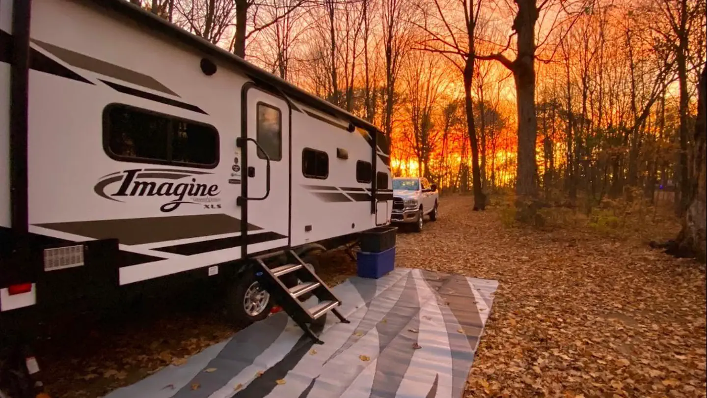
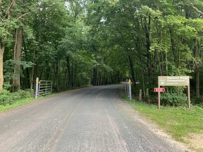
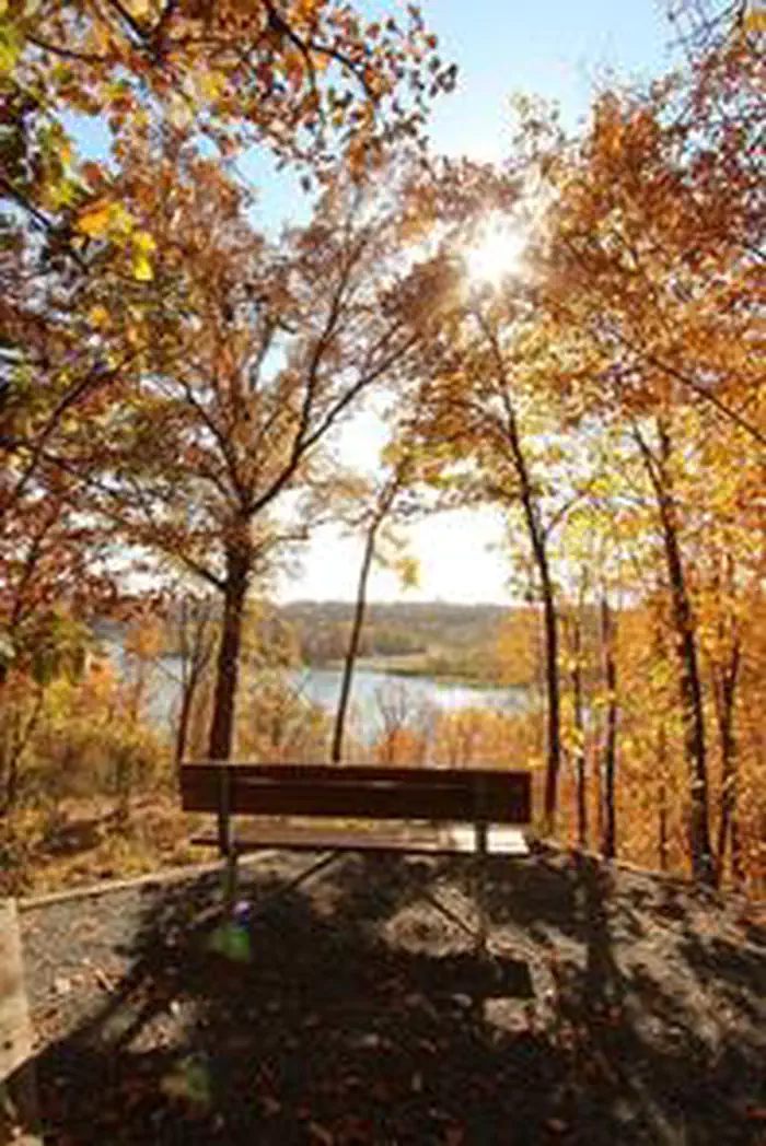
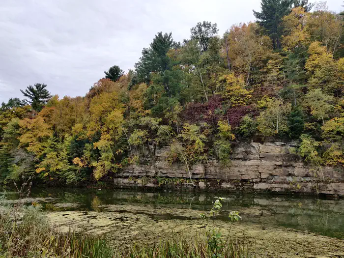
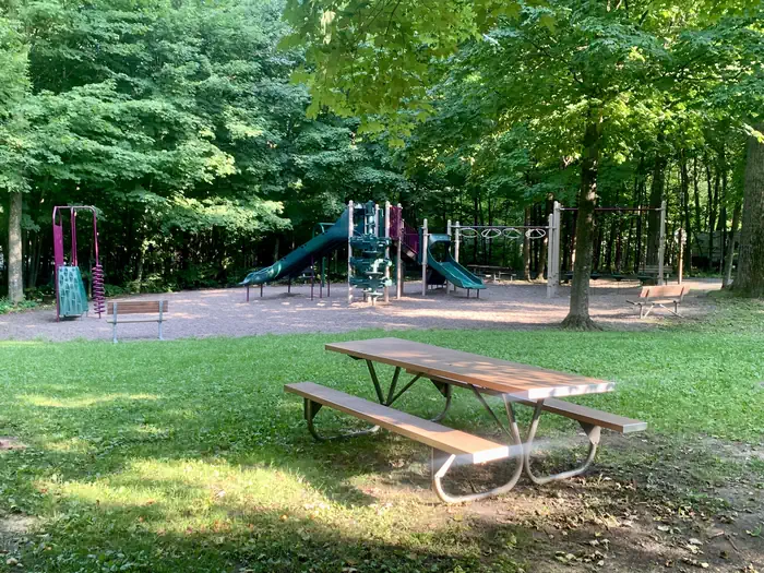
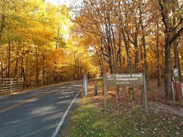
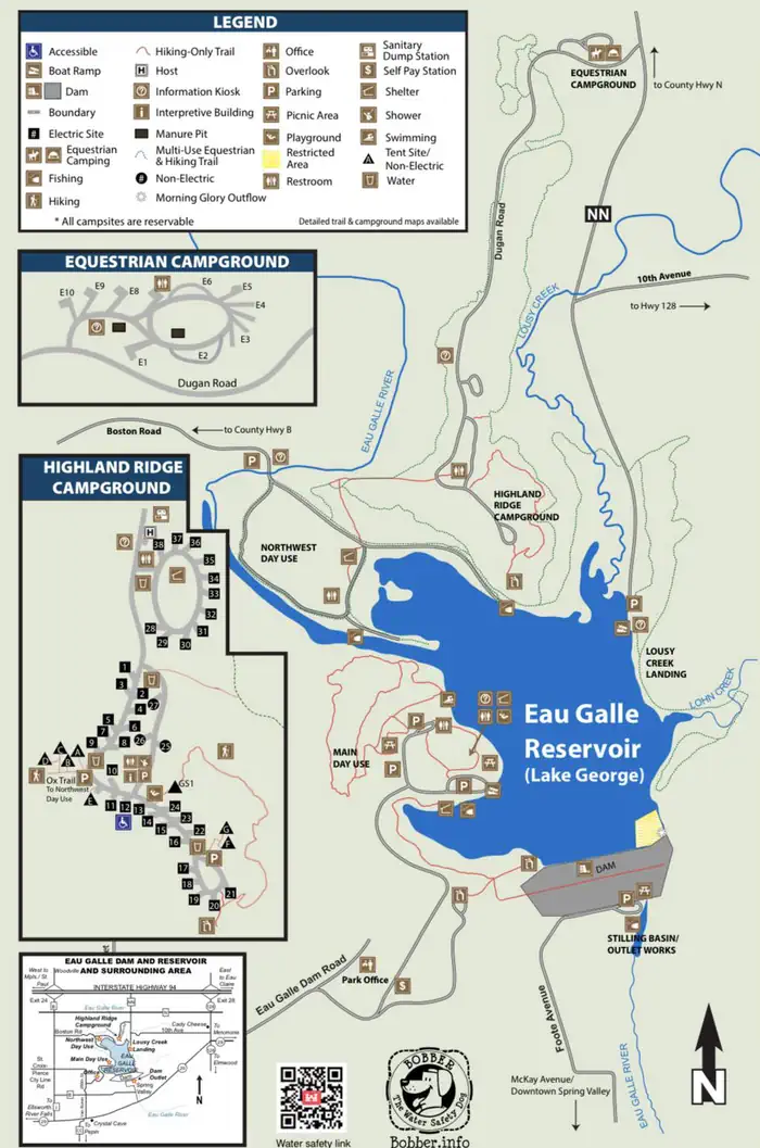
Overview Highland Ridge overlooks the sparkling Eau Galle Reservoir located in Spring Valley, in western Wisconsin. The area boasts 648 acres of scenery with numerous opportunities for recreation, including fishing, canoeing and plenty of hiking. Horseback riders enjoy the trails around the lush region. Recreation Hikers can enjoy the 7 miles worth of trails, along with overlook seating areas and a swimming beach. Horseback riders have a variety of trails to choose from. Fishermen cast their reels year-round. Kayaking, canoeing, and electric-motor boating are common. Facilities Highland Ridge has fourty-six campsites (thirty-five with electric) including eight walk-in tent sites. Showers, trash/recycle stations, an interpretive building, water fill stations, dump station, and a playground are all available for campers. During the summer, weekly interpretive programs are presented on Saturday evenings by the Park Rangers. Highland Ridge; Equestrian Loop has ten electric campsites. Manure pits, hitching posts, vault toilets, water fill stations, dump station, and garbage/recycling stations are available for campers. Natural Features The 35-mile Eau Galle River feeds into 150 acre Eau Galle Lake, which is surrounded by steep hills and bluffs. The campground is opposite the dam on the north side of the small reservoir. The area is set in a heavily wooded area that provides a welcoming habitat for native plants and animals. Contact Info This location has limited staffing. Please call (715) 778-5562 for general information. Nearby Attractions Highland Ridge is minutes from Spring Valley Golf Course, Crystal Cave, Cady Cheese Factory, Red Cedar Bike Trial, Vino in the Valley, Nugget Lake, Wakanda Water Park, Maple Leaf Orchard and Goven's Farm.
From the managing agency.
Is HIGHLAND RIDGE free?
We do not have a fee on record for HIGHLAND RIDGE. Confirm the cost locally before you go.
How do I get to HIGHLAND RIDGE?
HIGHLAND RIDGE is at 44.8726, -92.2432. We do not hold written directions for this one, so navigate to the coordinates.
Nearby
No other services within 50 mi on the record.
SourceSource data is agency published. Last synced September 19, 2026. Community reports and photos are submitted by travelers and are not verified by the agency.
