
MAIN DAY USE
Campground · Fee not listed
Fast facts
- Cost
- Not listed. Check locally.
- Type
- Campground
- Phone
- 715-778-5562
- Coordinates
- 44.8594, -92.2444
- Last verified
- September 19, 2026
About this place
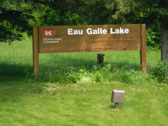
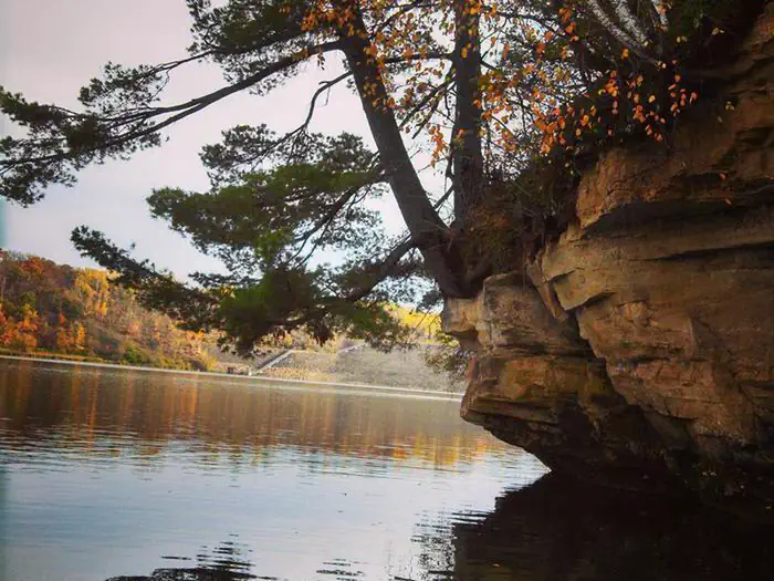
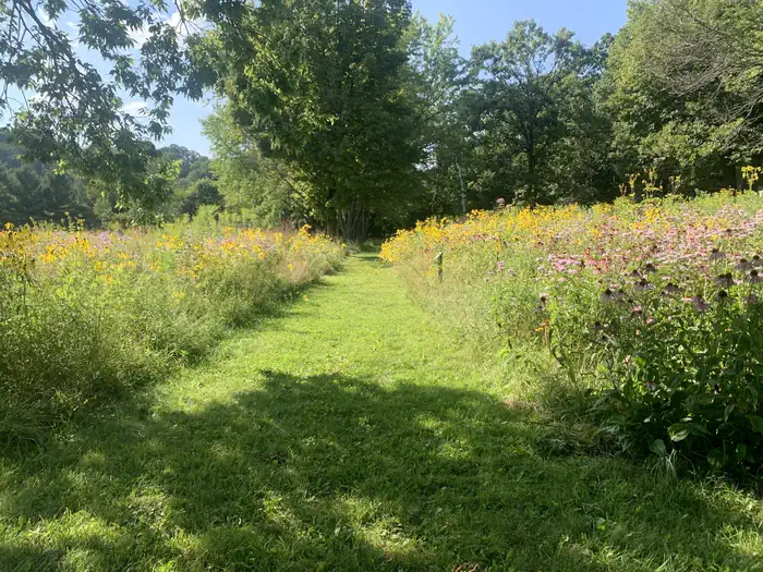
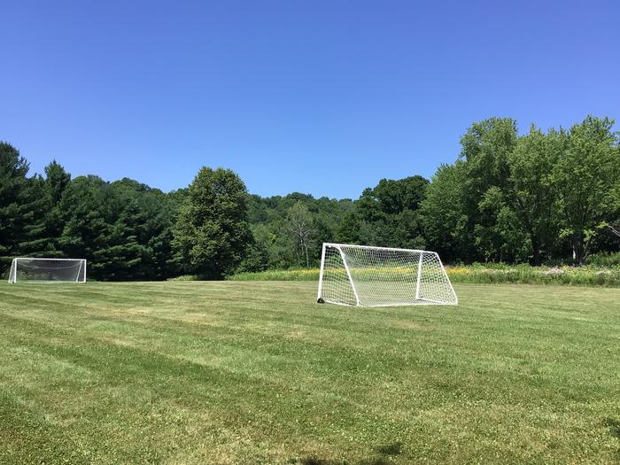
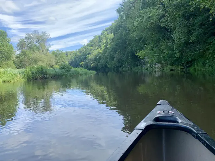
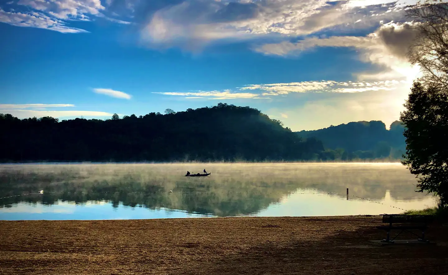
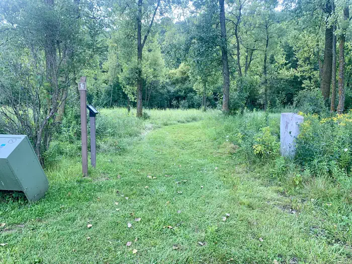
Overview Main Day Use Are at Eau Galle Lake offers many family-friendly outdoor activities including fishing, boating and hiking, in the lush Wisconsin woodlands. Recreation In summer, the lake is a popular place for canoe, kayak and other non-gasoline powered boating. Fishermen cast their reels year-round for a chance to catch Bass, Panfish, Pike, and Trout Facilities Amenities include flush toilets, playgrounds, horseshoe pits, volleyball courts, a large sandy swimming beach, boat ramp, and a fishing dock. Natural Features Eau Galle Lake is a 150-acre impoundment surrounded by densely wooded hills and bluffs. Its waters are fed by the 35-mile Eau Galle River, shaded with scenic mixed hardwoods. Nearby Attractions Crystal Cave, Wisconsin's longest cave, is approximately 1 mile southwest of Spring Valley, WI. A series of steps and ramps allow visitors to descend over 70 ft. among stalagmites and rippling flowstone. Spring Valley Golf Course is nearby.
From the managing agency.
Is MAIN DAY USE free?
We do not have a fee on record for MAIN DAY USE. Confirm the cost locally before you go.
How do I get to MAIN DAY USE?
MAIN DAY USE is at 44.8594, -92.2444. We do not hold written directions for this one, so navigate to the coordinates.
Nearby
No other services within 50 mi on the record.
SourceSource data is agency published. Last synced September 19, 2026. Community reports and photos are submitted by travelers and are not verified by the agency.
