
CADOTTE LAKE
Campground · Fee
Fast facts
- Cost
- Fee charged
- Type
- Campground
- Coordinates
- 47.3806, -91.9164
- Last verified
- September 19, 2026

About this place
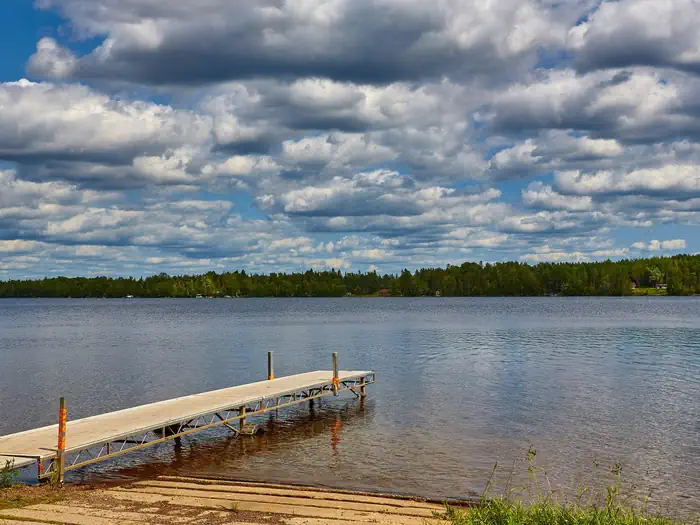
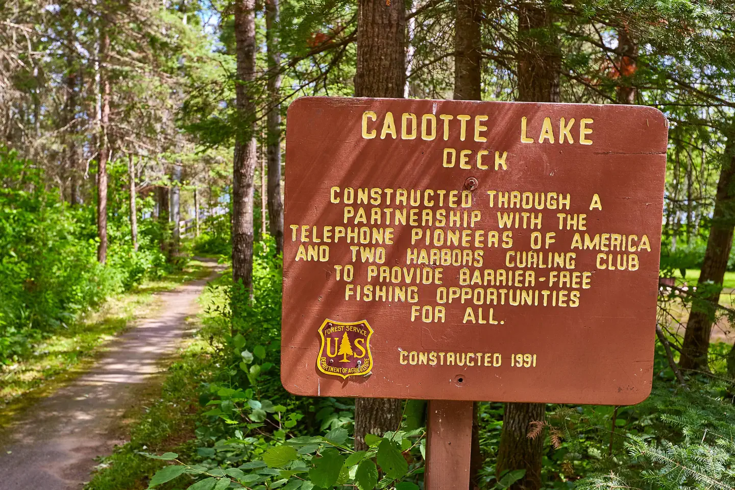
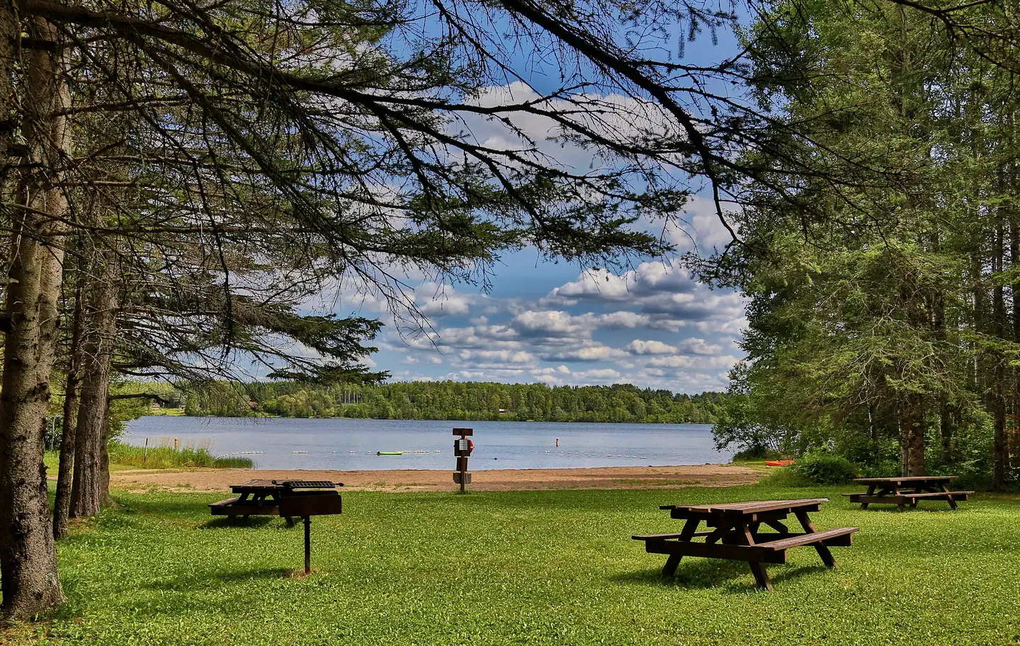
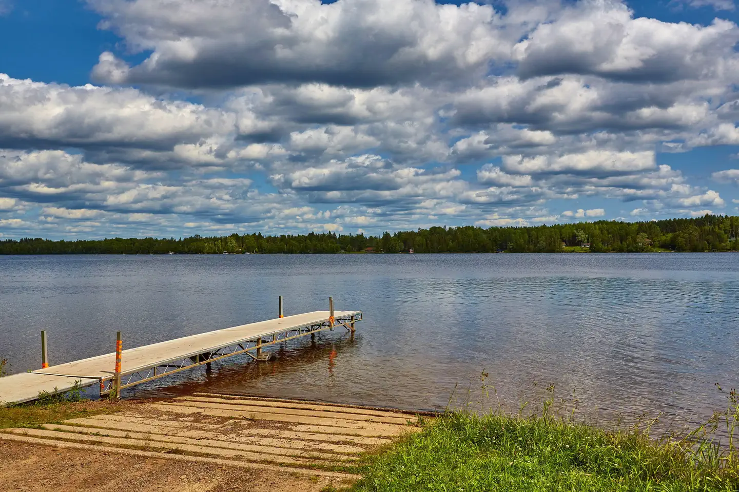
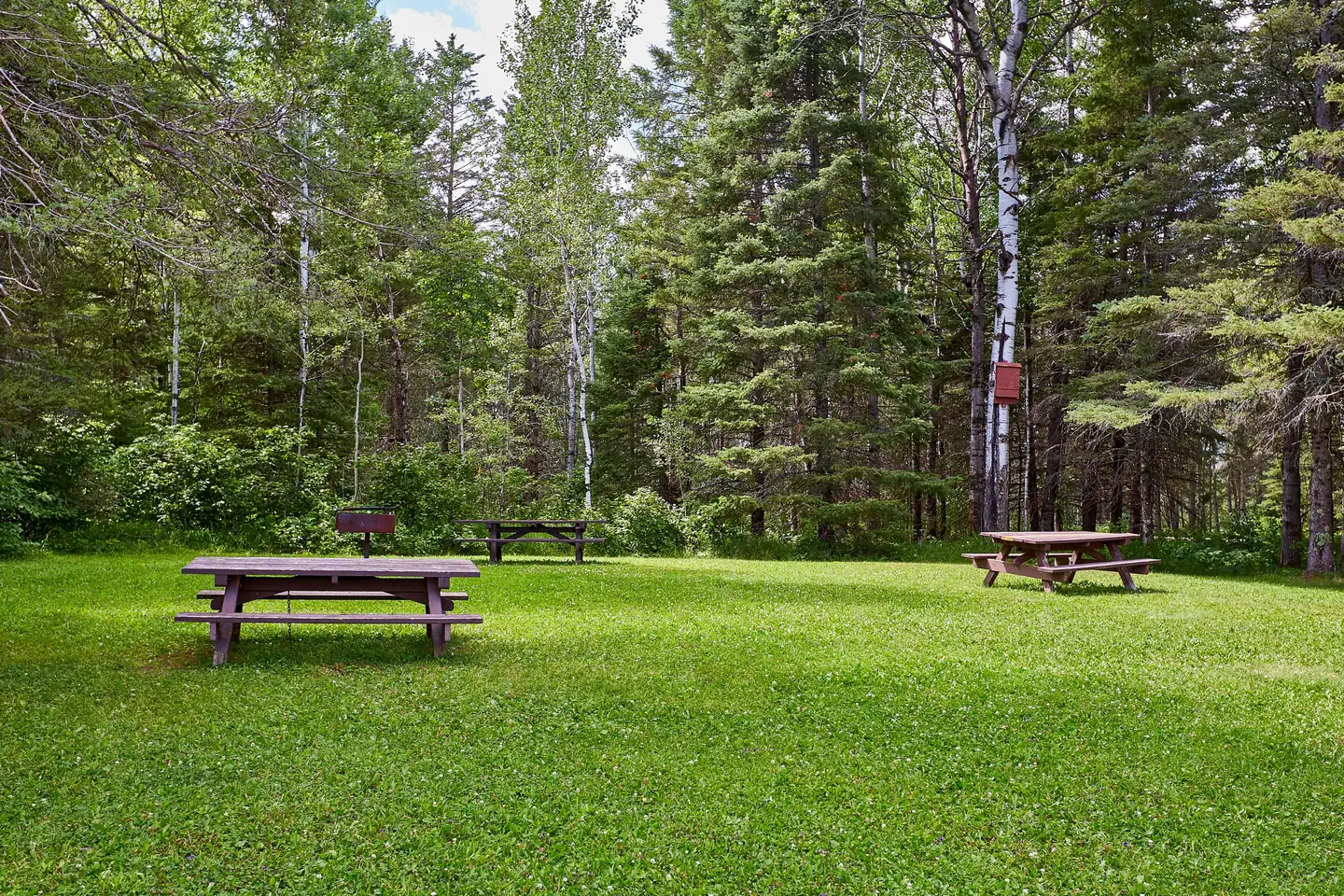
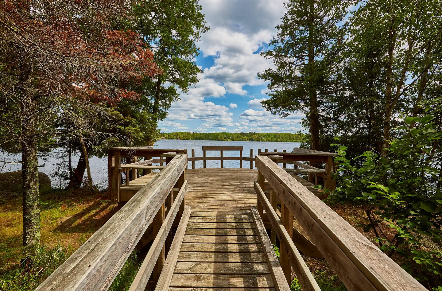
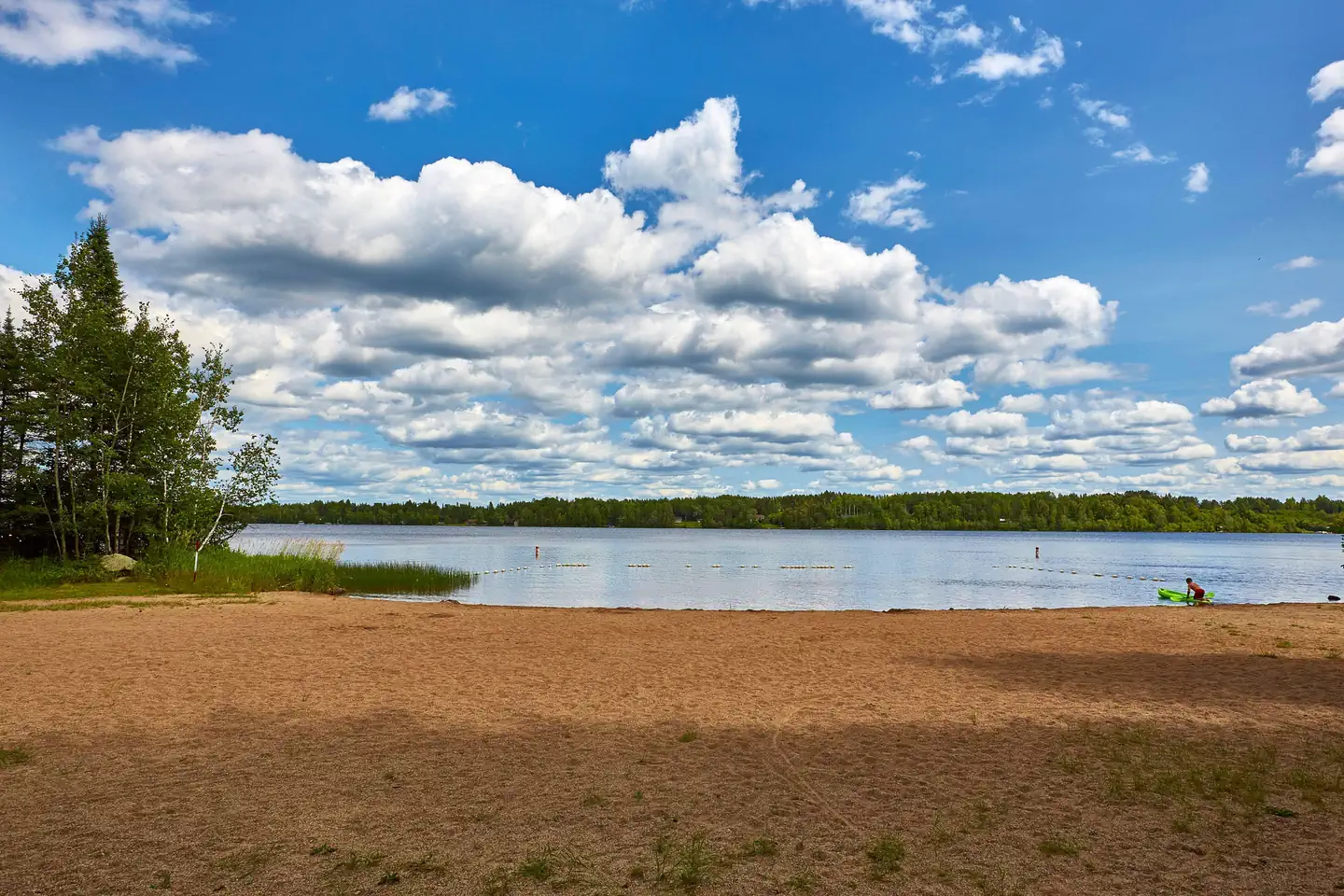
Overview Cadotte Lake Campground lines the western shore of Cadotte Lake in Superior National Forest. A boat ramp and fishing dock make the campground convenient for anglers, and the sandy swimming beach is popular among families. Superior National Forest, located in northeastern Minnesota's arrowhead region, is comprised of 3 million acres. The forest spans 150 miles along the United States-Canada border. Visitors can find recreation opportunities year-round, including exploring the famous Boundary Waters Canoe Area Wilderness. Recreation The 318-acre Cadotte Lake is a great spot to fish for walleye and northern pike. The surrounding national forest offers a wide variety of recreational opportunities, including hiking in secluded woodlands and canoeing in pristine lakes and rivers. View recreation guides and maps of hiking trails and canoe routes in the national forest. Facilities Cadotte Campground is in a wooded area with private sites, some of which have views of the lake and access to trails that lead to the water. Some campsites can accommodate RVs up to 45 ft. in length. The facility provides fishing areas, a boat ramp, dock and sandy beach. Natural Features Superior National Forest is known for its boreal forest ecosystem, numerous clean lakes and diversity of animals and plants. The campground lies in a mixed evergreen, birch and aspen forest. Nearby Attractions Numerous outdoor recreation opportunities lie within Superior National Forest's 77 lake access points, 13 fishing piers, 10 swimming beaches and 22 picnic areas. The forest is also home to three scenic byways.
From the managing agency.
Is CADOTTE LAKE free?
No. CADOTTE LAKE charges a fee.
How do I get to CADOTTE LAKE?
CADOTTE LAKE is at 47.3806, -91.9164. We do not hold written directions for this one, so navigate to the coordinates.
Nearby
- Cadotte Lake Campground0.1 mi
- Big Lake10.2 mi
- WHITEFACE RESERVOIR11.2 mi
- Whiteface Reservoir Campground11.2 mi
- McDougal Lake Campground25.5 mi
- BIRCH LAKE CAMPGROUND26.7 mi
- Little Isabella River Campground29.5 mi
- South Kawishiwi River Campground31.3 mi
No other services within 50 mi on the record.
SourceSource data is agency published. Last synced September 19, 2026. Community reports and photos are submitted by travelers and are not verified by the agency.
