
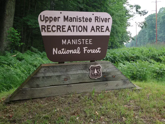
Upper Manistee River Backcountry Campsites
Campground · Dispersed · Fee
Fast facts
- Cost
- Fee charged
- Type
- Campground
- Phone
- 231-723-2211
- Coordinates
- 44.2839, -85.8618
- Last verified
- September 19, 2026
About this place
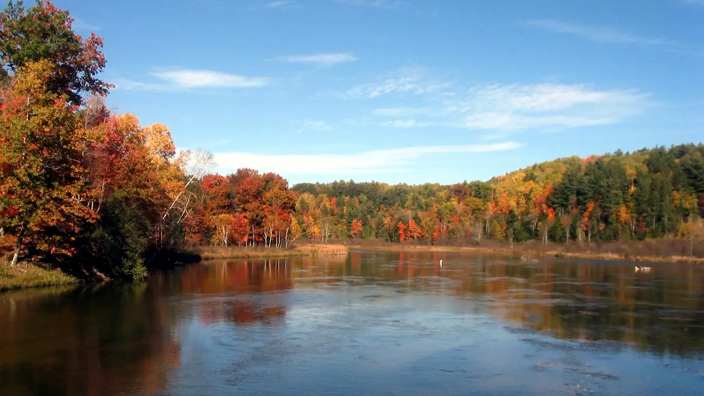
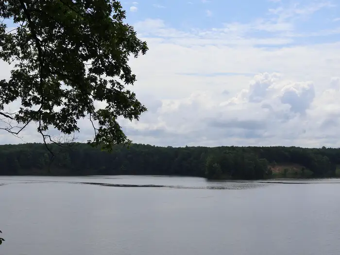
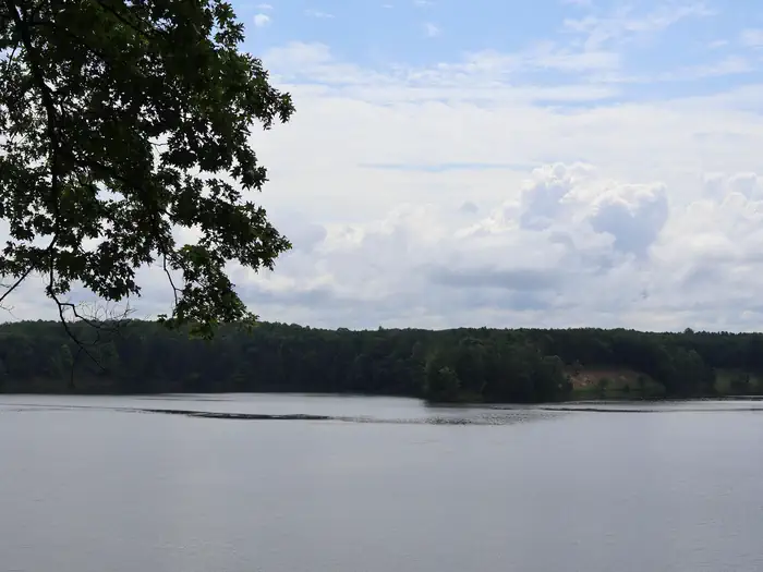
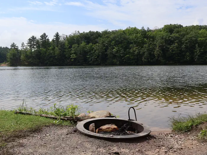
Overview The Upper Manistee dispersed campsites are primitive campsites on the Manistee River Backwaters of Tippy Dam Pond, located along the banks of the Manistee River between Tippy Dam and Hodenpyl Dam. The Government Landing location includes 7 sites, in which, 5 are located on the water and 2 sites are on higher ground overlooking the water. There are 2 sites located on the water that are walk in only. The Red Bridge River Access offers 4 sites that are walk in only and allow easy access to the Manistee River. These sites are very popular and are by reservation only Memorial Day Weekend through Labor Day Weekend. Recreation The Upper Manistee River Area offers motorized and non-motorized boating opportunities, and fishing is excellent on the Manistee River. Wildlife viewing may include encounters with a variety of species such as bald eagles, loons, trumpeter swans, black bears, white tailed deer, river otters, and turtles. Many of these species are secretive and sensitive to disturbances, so please view them from a distance. Hiking opportunities in the area are numerous with the North Country Trail and the Manistee River Trail, as the top draw to the area. Both trails offer excellent views of the forested terrain and the Manistee River. Facilities Each site is designed for single camp unit use with a maximum of 8 people and 2 vehicle per site. Sites include a picnic table, fire ring, and a lantern hook. Vault toilets are located with in walking distance of each site. A boat ramp is located at both Government Landing and Red Bridge. No drinking water is available at Government Landing, but drinking water is available at Red Bridge. Natural Features The Upper Manistee River Area is one of the more scenic areas of the Manistee National Forest and the outdoor enthusiast will enjoy a rustic camping experience enhanced by the scenic river, peace and solitude, and abundant wildlife. The Manistee River with its steep slopes and sharp turns meanders through native hardwoods and pines. Contact Info This location is unstaffed. To speak with our main office for general information, please call: (231) 848-7090.
From the managing agency.
Is this site free?
No. this site charges a fee.
How do I get to this site?
this site is at 44.2839, -85.8618. We do not hold written directions for this one, so navigate to the coordinates.
Nearby
- Red Bridge River Access Site0.0 mi
- Government Landing Access1.6 mi
- Sawdust Hole Angler Access4.6 mi
- SEATON CREEK CAMPGROUND5.7 mi
- Seaton Creek Recreation Area5.8 mi
- PETERSON BRIDGE6.4 mi
- Peterson Bridge South Campground6.5 mi
- Blacksmith Bayou Access8.7 mi
No other services within 50 mi on the record.
SourceSource data is agency published. Last synced September 19, 2026. Community reports and photos are submitted by travelers and are not verified by the agency.
