
PETERSON BRIDGE
Campground · Fee not listed
Fast facts
- Cost
- Not listed. Check locally.
- Type
- Campground
- Coordinates
- 44.2042, -85.7961
- Last verified
- September 19, 2026
About this place
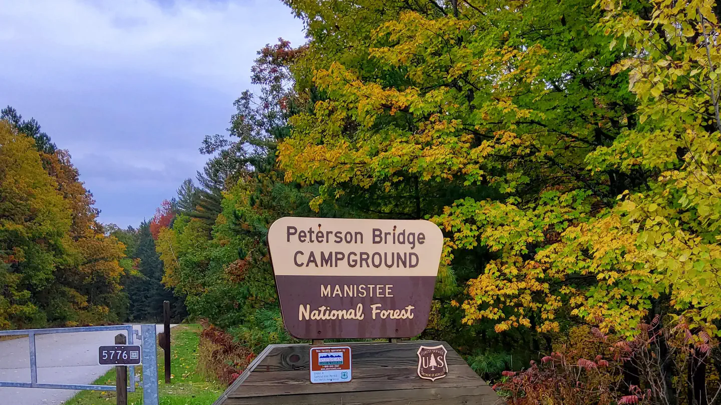
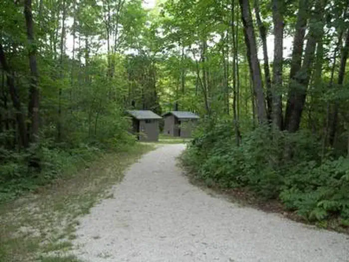
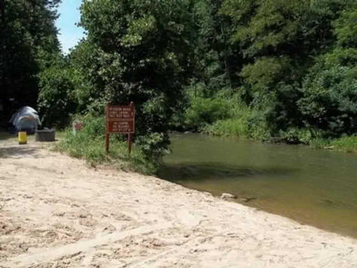
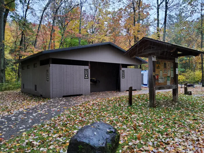
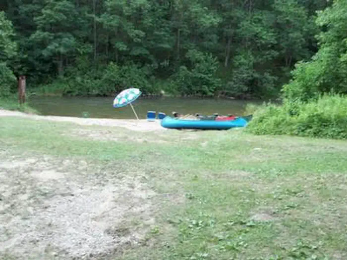
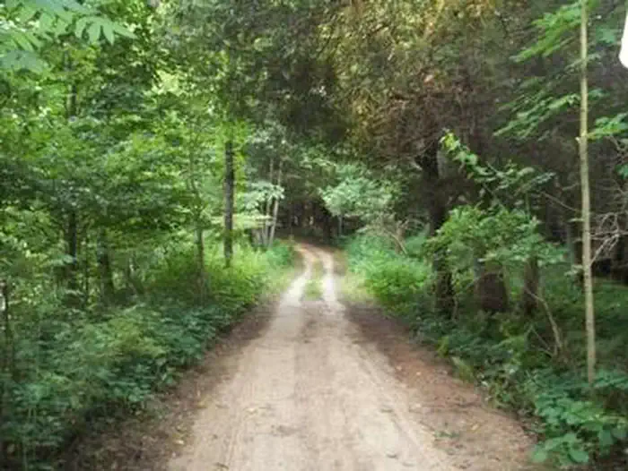
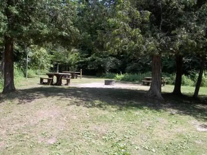
Overview Peterson Bridge Campground is located on the Pine River in Michigan’s Manistee National Forest. The location on the river makes it ideal for canoeists and those looking to experience the adventure of this swift moving river. Recreation With access to the river so close, floating the Pine River is a popular activity at Peterson Bridge. Several locations near the campground offer canoe rentals. Supporting outstanding trout fishing, the Pine River is also a “Blue Ribbon” cold-water fishery. For State Fishing Regulations consult the Michigan Department of Natural Resources website, website http://www.michigan.gov/dnr/. Facilities The facility offers several tent sites which are walk-in only. Those tent sites on the river bank can also be accessed from the river. In addition, the facility offers RV sites with many of the sites at this facility offering shade and seclusion. Natural Features The Pine River is well known as one of the most outstanding canoeing and trout fishing rivers in the Midwest. The river gradient is 7% and, depending upon the season, offers the fasted average flow of any river in lower Michigan. The lower 26 miles of the Pine River have been designated a National Wild and Scenic River. Contact Info For facility specific information, please call (801) 226-3564.
From the managing agency.
Is PETERSON BRIDGE free?
We do not have a fee on record for PETERSON BRIDGE. Confirm the cost locally before you go.
How do I get to PETERSON BRIDGE?
PETERSON BRIDGE is at 44.2042, -85.7961. We do not hold written directions for this one, so navigate to the coordinates.
Nearby
- Peterson Bridge South Campground0.2 mi
- Government Landing Access6.3 mi
- Red Bridge River Access Site6.4 mi
- Upper Manistee River Backcountry Campsites6.4 mi
- SAND LAKE CAMPGROUND7.1 mi
- Sand Lake Recreation Area7.4 mi
- Sawdust Hole Angler Access9.0 mi
- Old Grade Campground10.3 mi
No other services within 50 mi on the record.
SourceSource data is agency published. Last synced September 19, 2026. Community reports and photos are submitted by travelers and are not verified by the agency.
