
Pines Point Campground (MI)
Campground · Fee not listed
Fast facts
- Cost
- Not listed. Check locally.
- Type
- Campground
- Phone
- 231-745-8760
- Coordinates
- 43.5278, -86.1194
- Last verified
- September 19, 2026

About this place
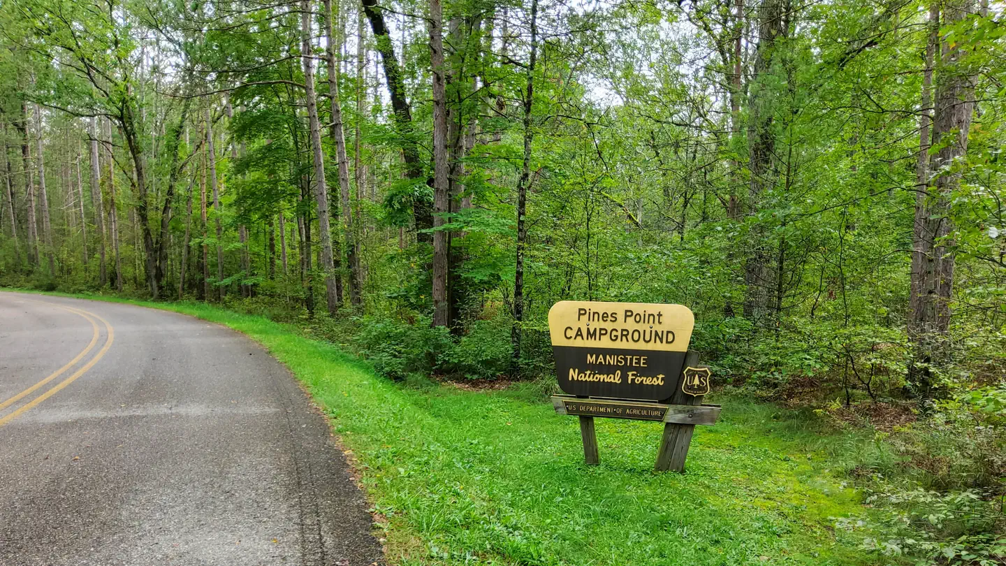
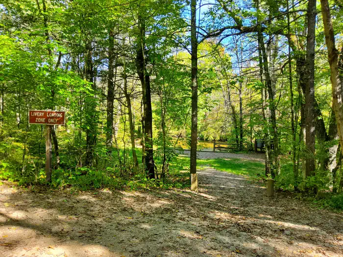
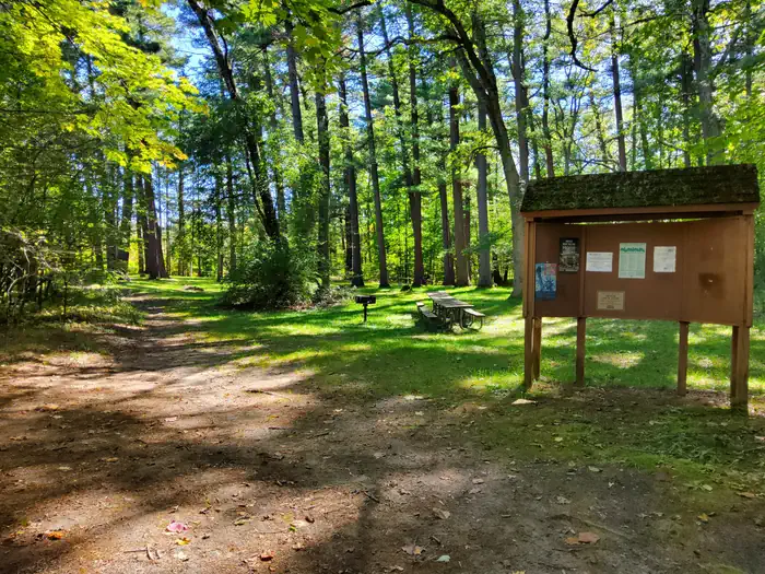
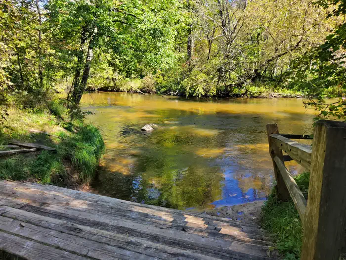
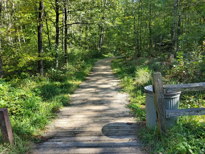
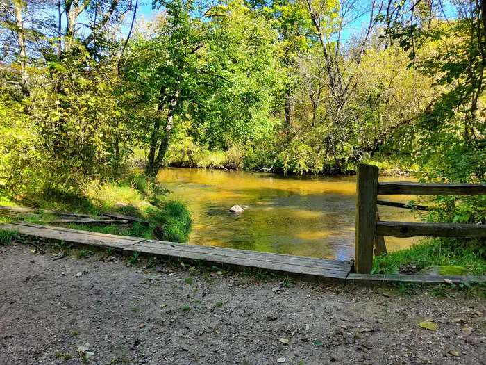
Overview Pines Point Campground is located on the banks of the White River with several campsites overlooking the river. The family campground includes a loop designed for groups containing five sites with a capacity of 20 guests each. Large groups can reserve the entire loop. Find out how the campground got its name when you tube or kayak around the point and see the majestic white pines standing watch over the river. Fishing is also popular in these waters. Recreation Fish for trout, salmon and sucker, or float in a canoe, kayak or tube around the point, a leisurely 1 hour float. The canoe landing is walk-in. Facilities Five group campsites and 27 family campsites lie along the river. Each site is equipped with a picnic table, fire ring and lantern post. Drinking water and flush toilets are provided. Electric hookups are not available. Natural Features The campground is quiet and secluded, surrounded by towering white pines and rolling hills. The White River runs for 23.6 miles on the western side of Michigan's Lower Peninsula. Summer temperatures are generally around 80 degrees Fahrenheit. The Huron-Manistee National Forests extend over almost a million acres, including nearly 6,000 acres of wetlands. The forests provide recreation opportunities for visitors, habitat for fish and wildlife and resources for local industry. Contact Info For facility specific information, please call (801) 226-3564. Nearby Attractions Hikers can explore the White River Special Area, a primarily non-motorized area surrounded on three sides by the White River.
From the managing agency.
Is Pines Point Campground (MI) free?
We do not have a fee on record for Pines Point Campground (MI). Confirm the cost locally before you go.
How do I get to Pines Point Campground (MI)?
Pines Point Campground (MI) is at 43.5278, -86.1194. We do not hold written directions for this one, so navigate to the coordinates.
Nearby
- Pines Point Campground0.2 mi
- Minnie Pond Campground13.0 mi
- Benton Lake Campground15.1 mi
- Nichols Lake Campground17.3 mi
- NICHOLS LAKE SOUTH CAMPGROUND17.3 mi
- Walkup Lake Campground17.9 mi
- Indian Lake Campground17.9 mi
- Twinwood Lake Recreation Area18.0 mi
No other services within 50 mi on the record.
SourceSource data is agency published. Last synced September 19, 2026. Community reports and photos are submitted by travelers and are not verified by the agency.
