
NICHOLS LAKE SOUTH CAMPGROUND
Campground · Fee not listed
Fast facts
- Cost
- Not listed. Check locally.
- Type
- Campground
- Coordinates
- 43.7231, -85.9025
- Last verified
- September 19, 2026

About this place
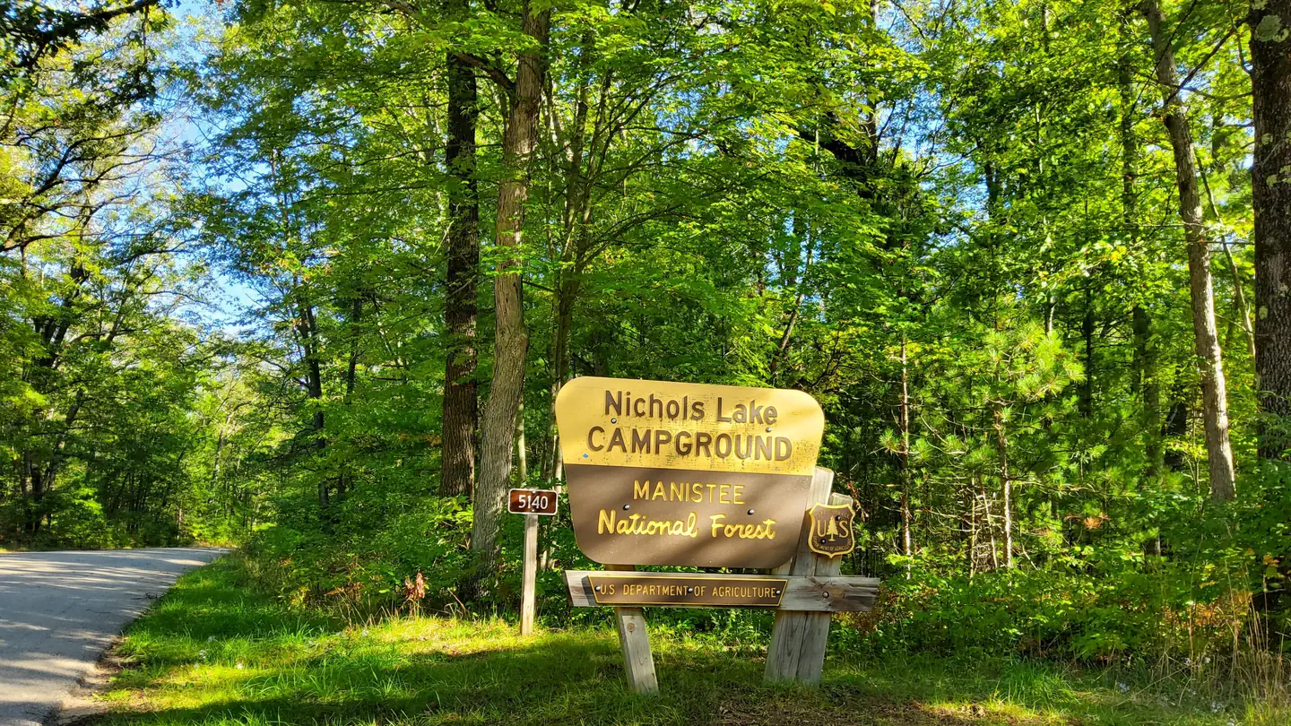
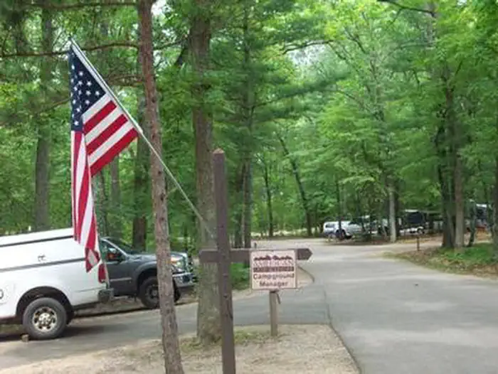
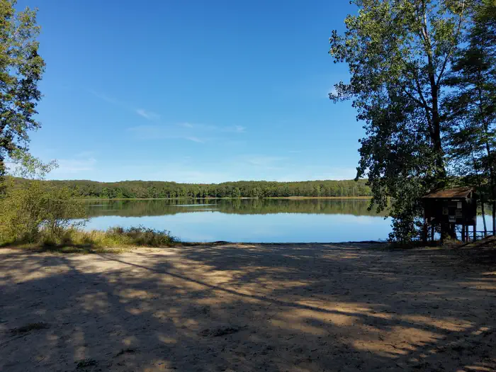
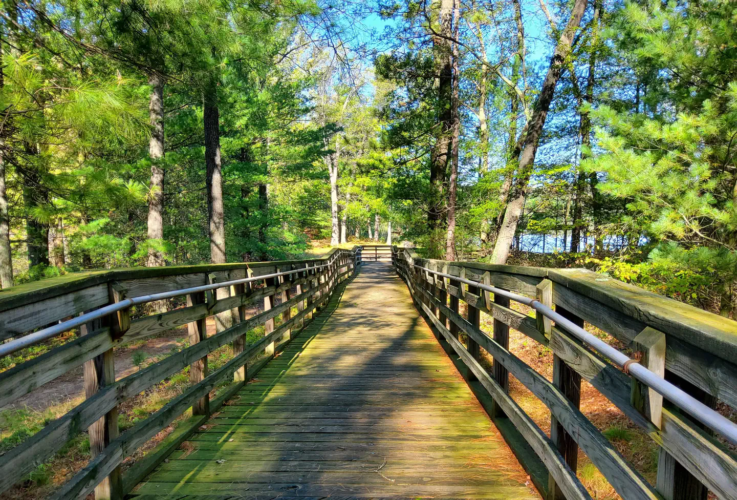
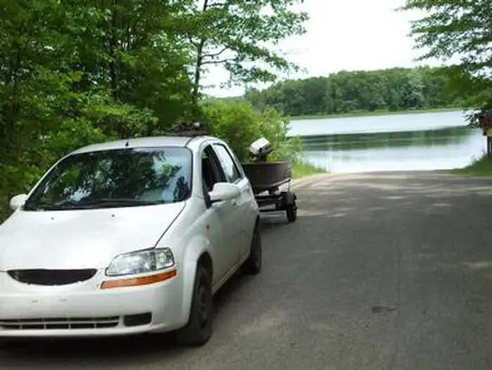
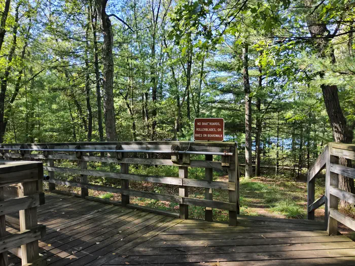
Overview Located on the south side of Nichols Lake, the campground and surrounding area offer excellent opportunities for fishing, swimming, picnicking, hiking, camping, or just relaxing. Recreation Fishing and boating are popular activities at Nichols Lake. There is a paved boat launch at the campground. This site is one of the locations on the National Forest's for Kids Fishing Day Events for Michigan's Free Fishing Day in early June. Ice fishing is also popular in the winter. Swimming areas are marked with buoys, but there are no lifeguards. The North Country National Scenic Trail goes through the site near the boat ramp, providing good hiking opportunities. Facilities Nichols Lake has 29 family sites on paved spurs. Drinking water, flush toilets, and showers are provided. Each site has a fire pit and picnic table. A wood ramp and stairs lead down to the lake from the campground. A short path along the lake provides access for fishing. Natural Features At 160 acres, Nichols Lake offers shore, pier, and boat fishing. Typical fish species available include bass, bluegill, pumpkinseed, black crappie, and northern pike. There is a swimming beach and accessible fishing pier available. Those wishing to enjoy the day at Nichols Lake will find a day use area located on the north side of the lake. Nearby Attractions The North Country Trail covers 4,600 miles from Crown Point, NY, to Lake Sakakawea State Park, ND. The segment that includes Nichols Lake has beautiful sections for both the advanced and weekend hikers. The nearest towns are Woodland, Bitely, and Brohman, about two miles to the south. Contact Info For facility specific information, please call (801) 226-3564.
From the managing agency.
Is NICHOLS LAKE SOUTH CAMPGROUND free?
We do not have a fee on record for NICHOLS LAKE SOUTH CAMPGROUND. Confirm the cost locally before you go.
How do I get to NICHOLS LAKE SOUTH CAMPGROUND?
NICHOLS LAKE SOUTH CAMPGROUND is at 43.7231, -85.9025. We do not hold written directions for this one, so navigate to the coordinates.
Nearby
- Nichols Lake Campground0.1 mi
- Walkup Lake Campground0.8 mi
- Condon Lake Backcountry Campsites2.4 mi
- Sawkaw Lake Campsites2.7 mi
- Highbanks Campground3.4 mi
- Benton Lake Campground3.8 mi
- Shelley Lake Campground4.5 mi
- Indian Lake Campground5.3 mi
No other services within 50 mi on the record.
SourceSource data is agency published. Last synced September 19, 2026. Community reports and photos are submitted by travelers and are not verified by the agency.
