
HUNGERFORD EQUESTRIAN GROUP CAMPSITE
Campground · Fee not listed
Fast facts
- Cost
- Not listed. Check locally.
- Type
- Campground
- Phone
- 231-745-4631
- Coordinates
- 43.7167, -85.6244
- Last verified
- September 19, 2026
About this place
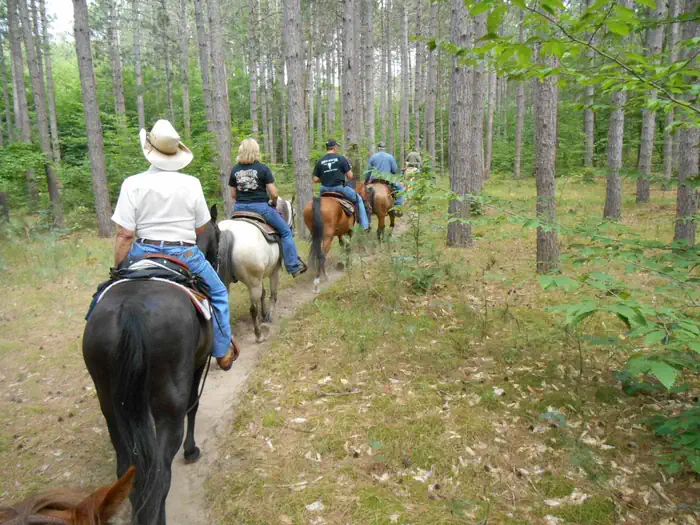
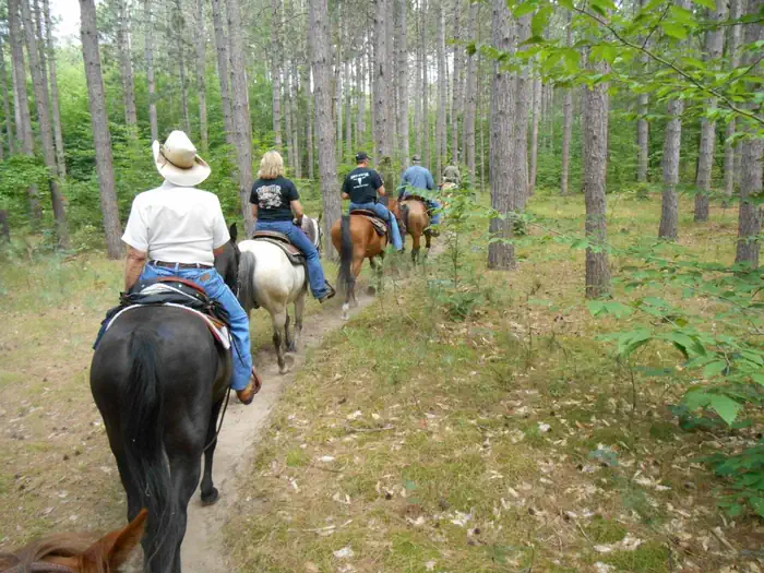
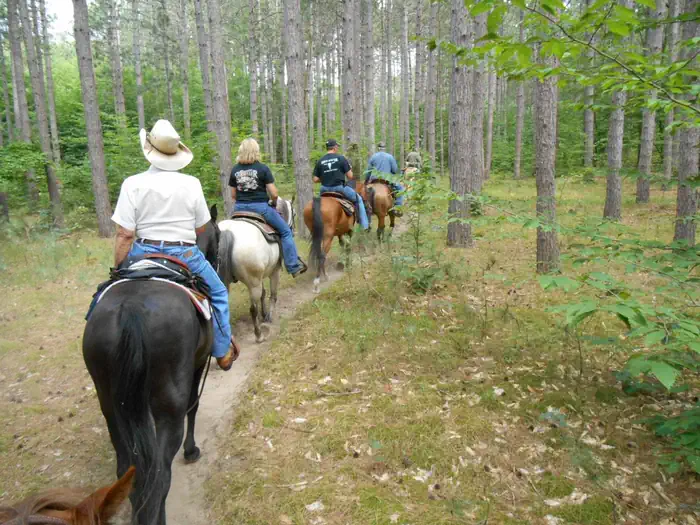
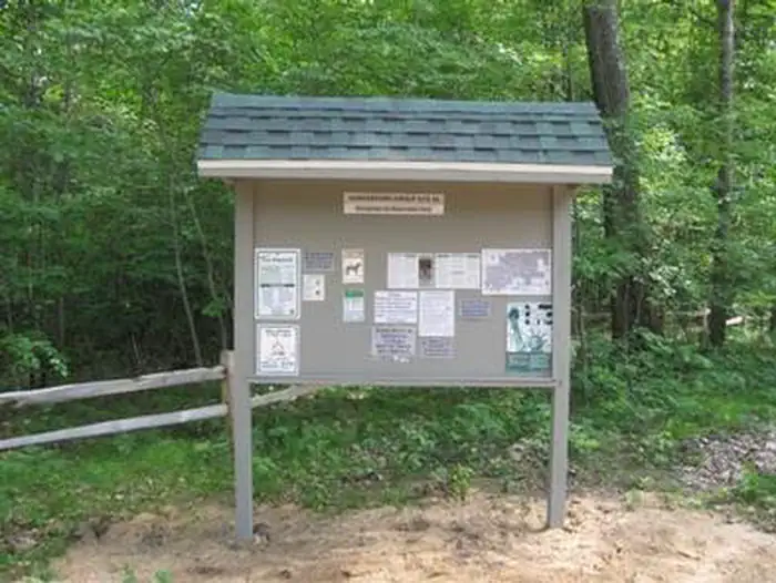
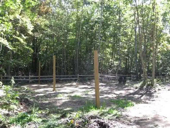
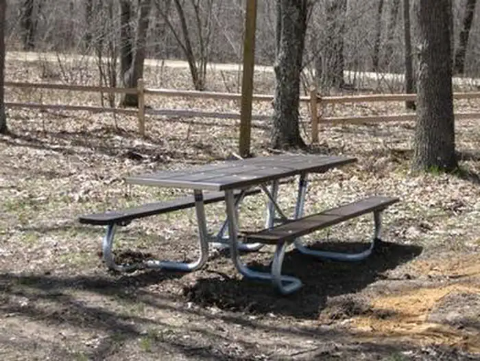
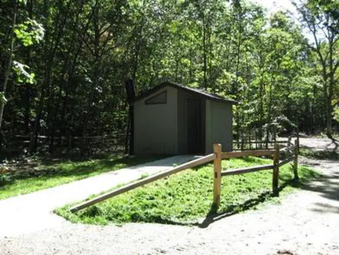
Overview The Hungerford Recreation Area offers access to over 50 miles of trails for horseback riding, hiking and mountain biking. The horse trails connect to the group campsite. There are a few small lakes located nearby, including, Hungerford Lake, Toogood Lake and Mud Lake. Recreation Forty-seven plus miles of horseback riding trails and 10 miles of mountain biking trails make the campground an ideal place for both equestrian campers and outdoors enthusiasts. Hungerford Lake is located a half mile south of the Hungerford Family Campground and one and a quarter miles south of the Hungerford Equestrian Group Campsite. The area offers fishing and boating opportunities. Horses are not allowed in or around the lake area, but visitors interested in fishing are welcome to cast for bass, pike and pan fish. There is a boat ramp located at the lake. Facilities There are eight individual sites within the group camp area. Each site can accommodate one large horse trailer, two vehicles and eight people. Picnic tables, lantern posts, fire rings, and picket poles to highline horses are provided at each of the eight sites. A vault toilet, manure disposal area, trash disposal, and large group campfire ring are provided for the campground. Drinking water is available at the Hungerford Campground, located 1.25 miles south of the site. The group site's check in and check out time is 12 noon. Natural Features The campground is perched along lightly rolling hills in the Manistee National Forest. It is about a mile north of Hungerford Lake and the 48 site Hungerford Campground. The lake spans 30 acres and is a favorite spot to see fall colors. The Manistee National Forest comprises 540,000 acres and meets the eastern shore of Lake Michigan. Nearby Attractions Visit the city of Big Rapids, Michigan, or the Loda Lake Wildflower Sanctuary. Benton, Indian, Brush, and Shelley lakes are also nearby. Charges & Cancellations Cancellations will not be accepted within 7 days of scheduled date of arrival.
From the managing agency.
Is this site free?
We do not have a fee on record for this site. Confirm the cost locally before you go.
How do I get to this site?
this site is at 43.7167, -85.6244. We do not hold written directions for this one, so navigate to the coordinates.
Nearby
- Hungerford Lake Campground1.0 mi
- Hungerford Trail Camp1.0 mi
- Brush Lake Recreation Area Campground6.3 mi
- Shelley Lake Campground9.5 mi
- Indian Lake Campground10.4 mi
- Benton Lake Campground13.7 mi
- Highbanks Campground13.8 mi
- NICHOLS LAKE SOUTH CAMPGROUND13.9 mi
No other services within 50 mi on the record.
SourceSource data is agency published. Last synced September 19, 2026. Community reports and photos are submitted by travelers and are not verified by the agency.
