
GLEASONS LANDING
Campground · Fee not listed
Fast facts
- Cost
- Not listed. Check locally.
- Type
- Campground
- Phone
- 231-745-8760
- Coordinates
- 43.8711, -85.9203
- Last verified
- September 19, 2026
About this place
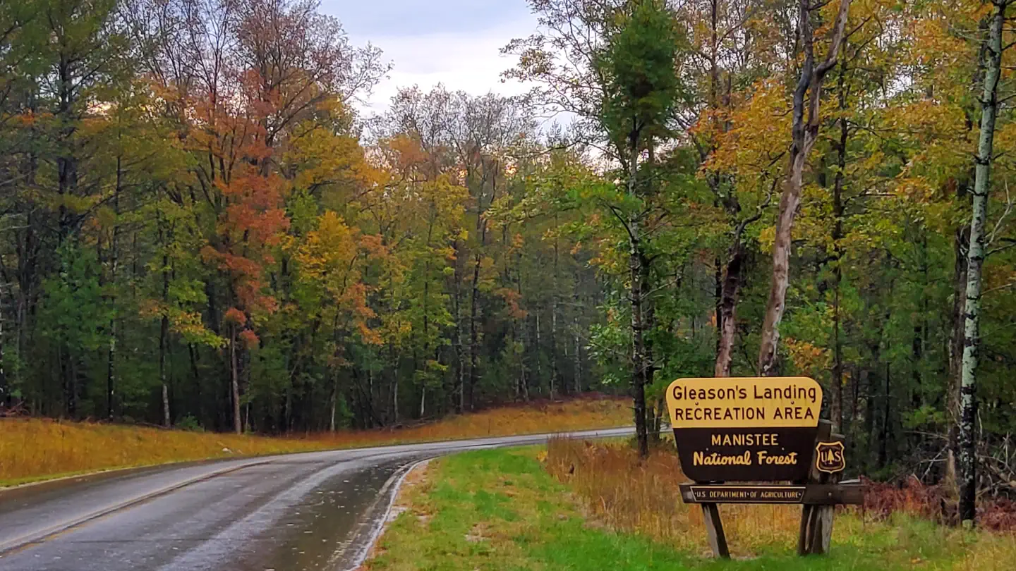
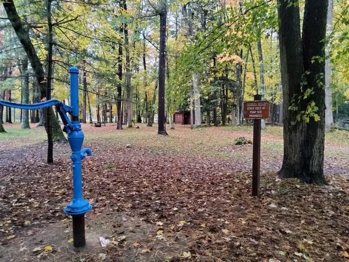
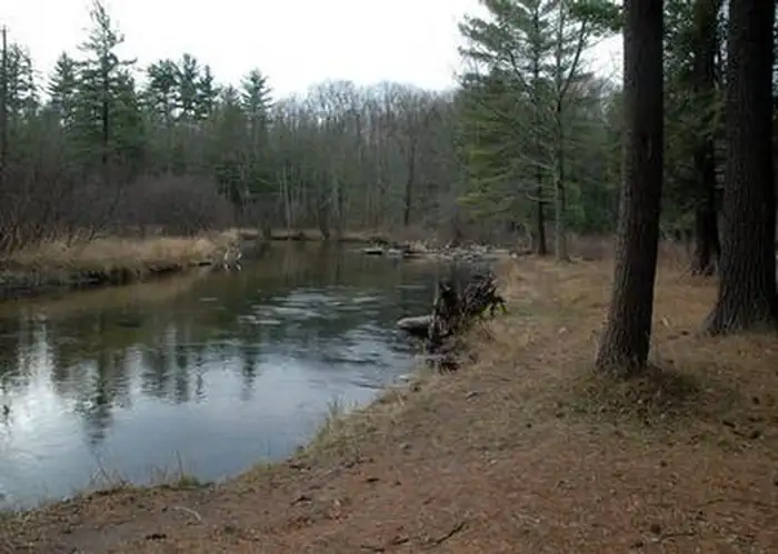
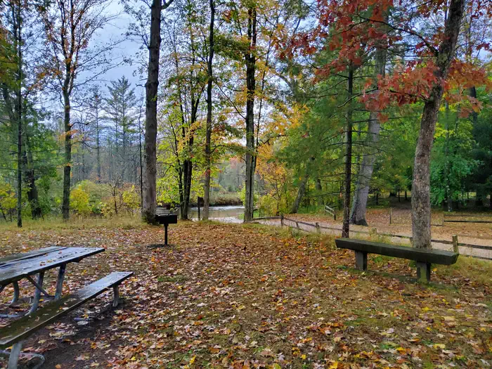
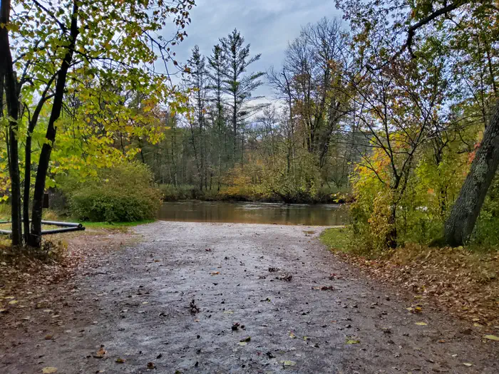
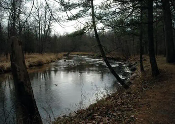
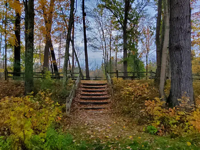
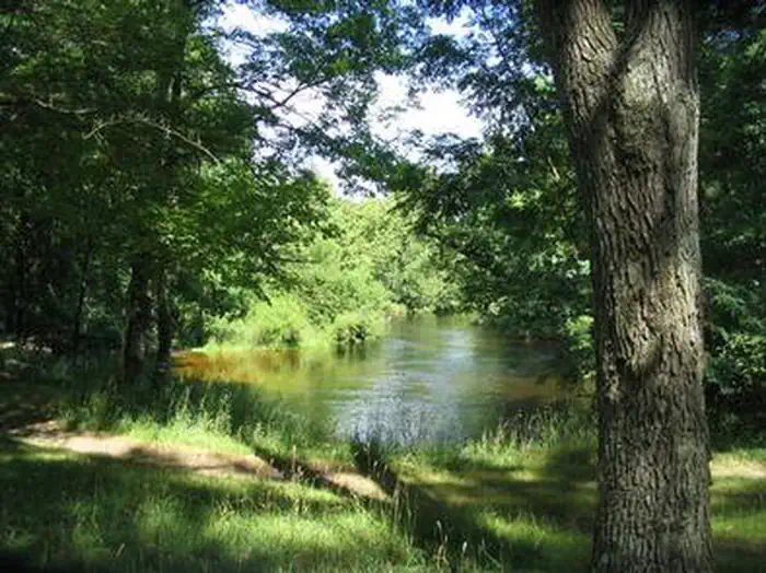
Overview Gleasons Landing is a very popular campground on the banks of the Pere Marquette River. With a selection of shaded and secluded spots, the campground is perfect for peaceful nature immersion. The Pere Marquette River was designated a National Scenic River in 1978, the first in Michigan, and it regularly attracts many canoeing, kayaking and fishing enthusiasts. The 66-mile stretch of river begins east of Baldwin and empties into Lake Michigan at Ludington. Recreation A major draw to the campground is world-class fishing. The free flowing river maintains large populations of resident brown trout, steelhead and salmon. Gleason Landing marks the start of a zone for fly fishing and catch and release only. Reel fishing is available upstream. A boat ramp is located within the campground. Canoeing and kayaking is very popular on the river, and boat rentals are available in Baldwin. A permit is required to float the river from Memorial Day weekend through Labor Day weekend. Trails along the river provide shore access for anglers and short, scenic nature walks for hikers. Facilities The walk-in campsites promise lovely views of the river. Family sites are each equipped with a picnic table, lantern post and campfire ring. Two group sites can accommodate up to 20 people each. Drinking water is provided but no hookups are available. Natural Features The campground sits on a bluff overlooking the picturesque Pere Marquette River. It is surrounded by a mix of white pine and oak trees. The Huron-Manistee National Forests encompass a million acres throughout the northern portion of Michigan's Lower Peninsula. The forests provide recreation opportunities for visitors, habitat for fish and wildlife and resources for local industry. Contact Info For facility specific information, please call (801) 226-3564. Nearby Attractions A trailhead for the North Country National Scenic Trail is a short drive away. The trail extends from New York to North Dakota, spanning 4,600 miles.
From the managing agency.
Is GLEASONS LANDING free?
We do not have a fee on record for GLEASONS LANDING . Confirm the cost locally before you go.
How do I get to GLEASONS LANDING ?
GLEASONS LANDING is at 43.8711, -85.9203. We do not hold written directions for this one, so navigate to the coordinates.
Nearby
- Gleason's Landing Campground0.0 mi
- Bowman Bridge Campground1.3 mi
- BOWMAN BRIDGE1.6 mi
- Bowman Lake Backcountry Campsites2.8 mi
- Sulak Campground5.9 mi
- Timber Creek Campground6.5 mi
- Elk Canoe Backcountry Campsites6.7 mi
- Highbanks Campground7.1 mi
No other services within 50 mi on the record.
SourceSource data is agency published. Last synced September 19, 2026. Community reports and photos are submitted by travelers and are not verified by the agency.
