
BOWMAN BRIDGE
Campground · Fee not listed
Fast facts
- Cost
- Not listed. Check locally.
- Type
- Campground
- Phone
- 231-745-8760
- Coordinates
- 43.8883, -85.9422
- Last verified
- September 19, 2026
About this place
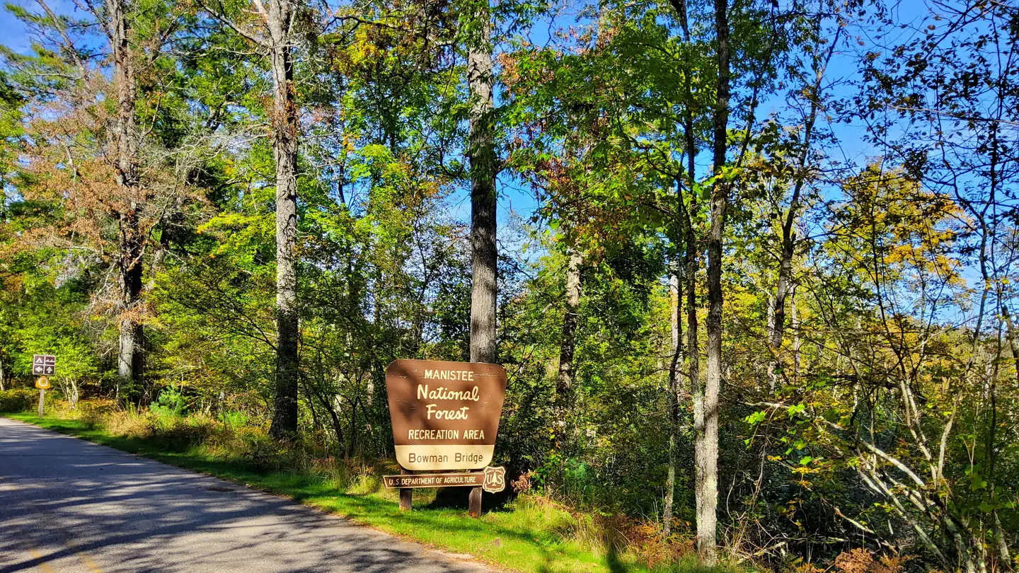
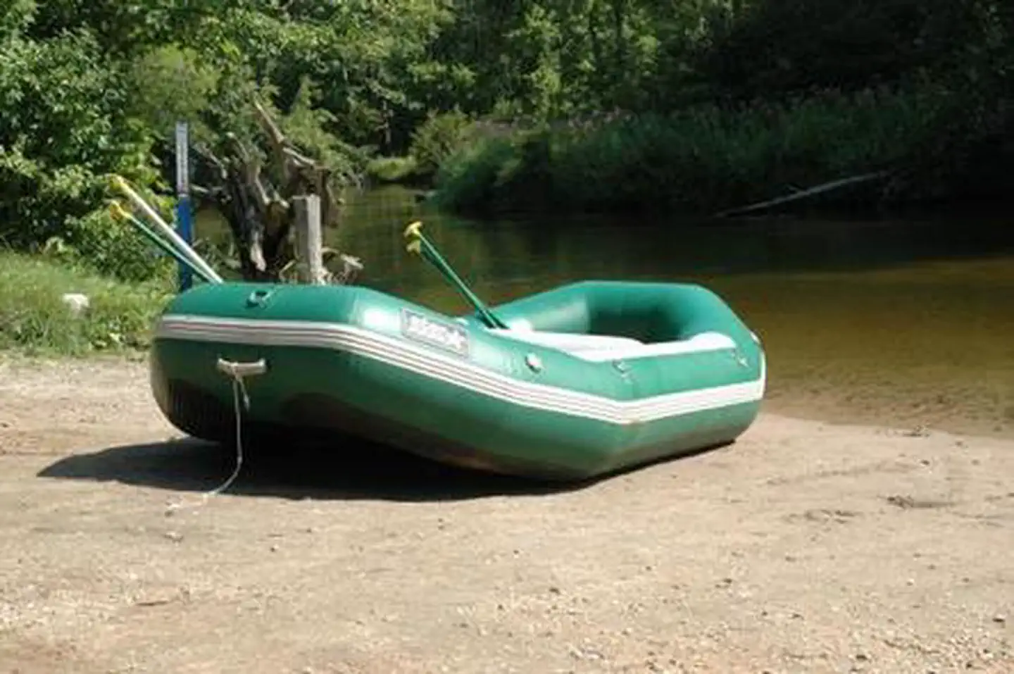
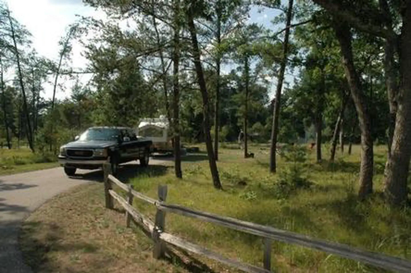
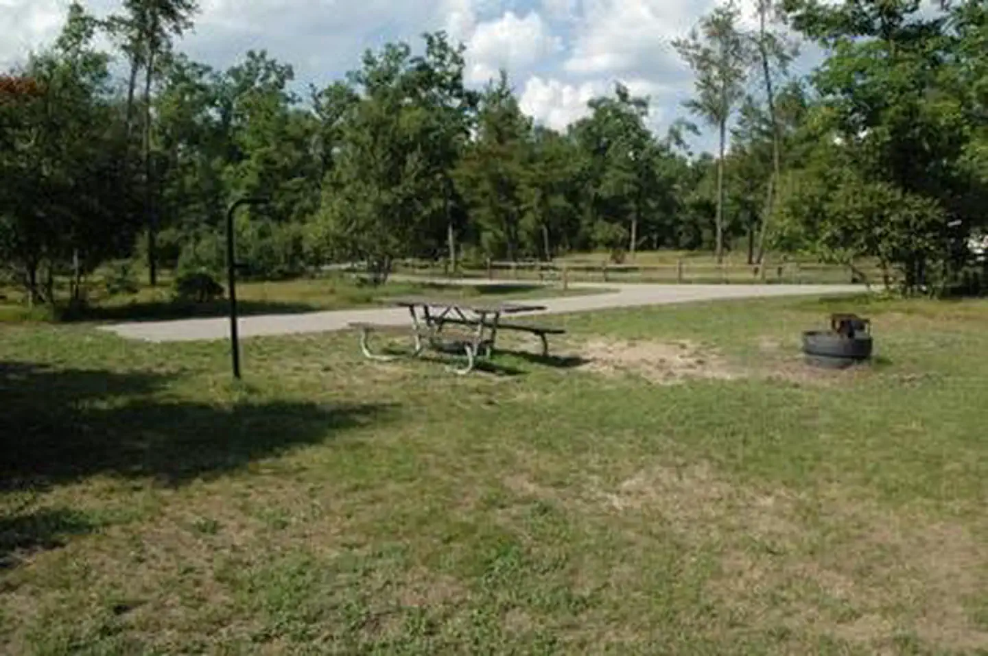
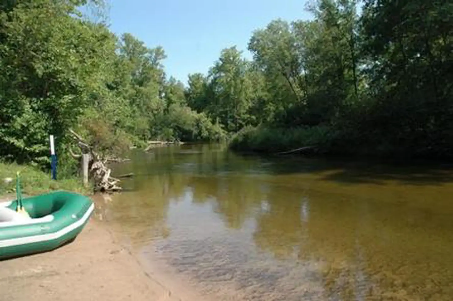
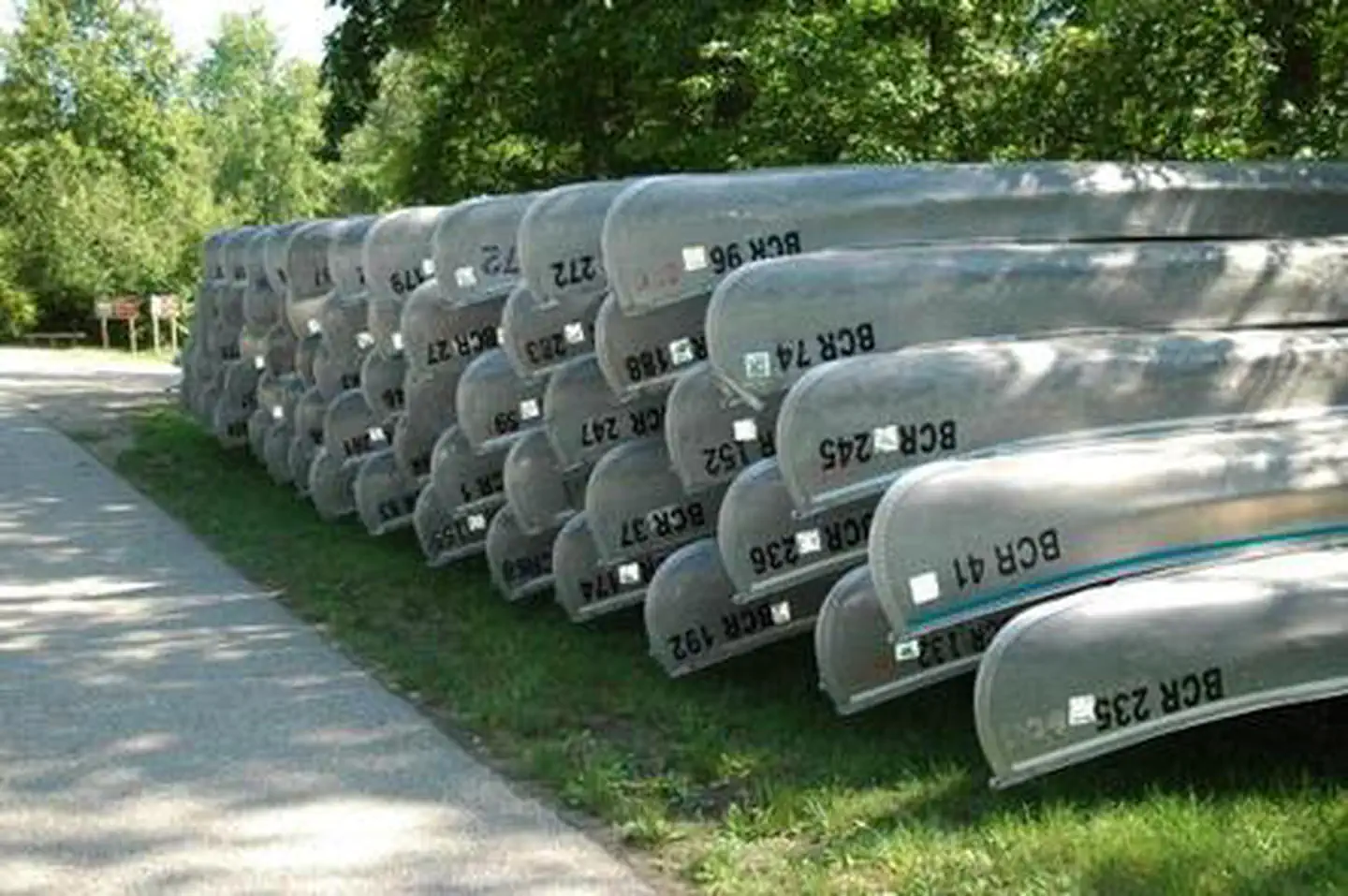
Overview Bowman Bridge Campground is perfect for true nature immersion. Campers come here for easy access to the Pere Marquette National Scenic River and for the delightful views of the great outdoors. Recreation The top three activities for campers at Bowman Bridge are canoeing, fishing and hiking. Anglers cast for brown trout, salmon, steelhead and rainbow trout. Watercraft rentals are available at two nearby liveries in Baldwin. A permit is required to float the river from the Friday of Memorial Day weekend through Monday of Labor Day weekend. Watercraft hours during the permit season are 9 a.m. to 6 p.m. Hikers can head up the campground's connector trail to the North Country National Scenic Trail. This "north country" trail weaves through many scenic, historic and cultural areas across seven states, measuring 4,600 miles end-to-end. Facilities Campsites are in a wooded setting, but due to a tornado that passed through in 2005, tall trees and shade are less dense than in neighboring campgrounds. The campground has a single loop 16 paved family campsites. There are also 4 walk-in family campsites and 4 tent-only group sites that can accommodate up to 20 people each. Natural Features The campground is situated along the Pere Marquette National Scenic River, a 66-mile stretch of clear, unspoiled waters within the Huron-Manistee National Forests in Michigan. Large blocks of public land offering opportunities for hiking, birdwatching, photography, and hunting can be found in the surrounding area. Contact Info For facility specific information, please call (801) 226-3564. Nearby Attractions Visitors enjoy exploring the extent of the Pere Marquette National Scenic River. Other nearby attractions include the Bowman Lake Foot Travel Area and the historic community of Idlewild.
From the managing agency.
Is BOWMAN BRIDGE free?
We do not have a fee on record for BOWMAN BRIDGE. Confirm the cost locally before you go.
How do I get to BOWMAN BRIDGE?
BOWMAN BRIDGE is at 43.8883, -85.9422. We do not hold written directions for this one, so navigate to the coordinates.
Nearby
- Bowman Bridge Campground0.4 mi
- Bowman Lake Backcountry Campsites1.4 mi
- GLEASONS LANDING 1.6 mi
- Gleason's Landing Campground1.6 mi
- Sulak Campground4.3 mi
- Timber Creek Campground4.9 mi
- Elk Canoe Backcountry Campsites5.2 mi
- Highbanks Campground8.5 mi
No other services within 50 mi on the record.
SourceSource data is agency published. Last synced September 19, 2026. Community reports and photos are submitted by travelers and are not verified by the agency.
