
FRANKLIN LAKE
Campground · Fee not listed
Fast facts
- Cost
- Not listed. Check locally.
- Type
- Campground
- Phone
- 715-479-2827
- Coordinates
- 45.9247, -89.0081
- Last verified
- September 19, 2026


About this place
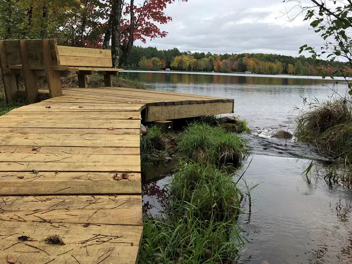
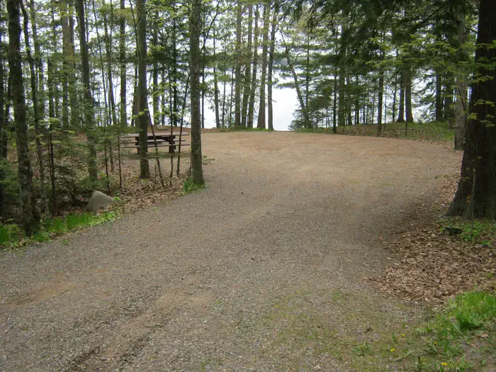
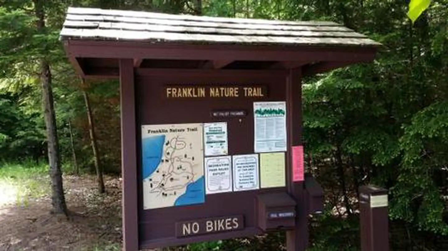
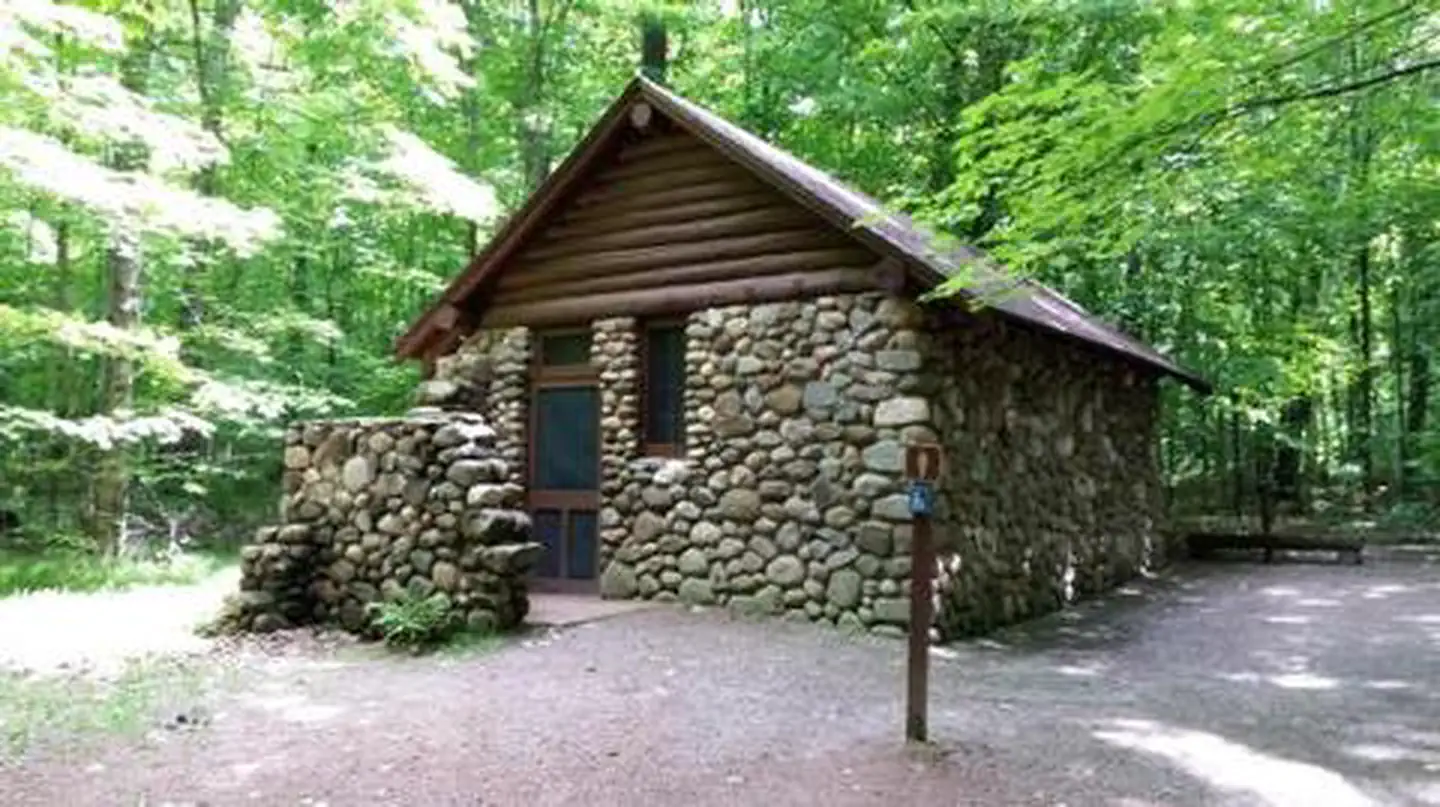
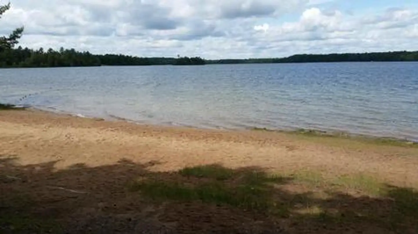
Overview Franklin Lake Campground is one of the most popular camping spots within the Chequamegon-Nicolet National Forest in Northern Wisconsin. Its unique structures built by the CCC land it on the National Register of Historic Places. The campground is in a beautiful setting, among tall pines and hemlocks, perched on the edge of the clear blue waters of Franklin Lake. In addition to its scenic landscape, the campground offers access to a variety of hiking trails. Recreation The lake provides visitors with ample opportunities for boating, fishing and swimming. Anglers can expect a catch of walleye, northern pike, large and smallmouth bass, rock bass, perch, and bluegill, among others. The lake is open to all types of boating, motorized and non-motorized. Numerous trails exist in the area, with some beginning within the campground, including a 6-mile hike to nearby Anvil Lake. The 1-mile Franklin Lake interpretive trail is partly accessible and tours the forest of trees, with some over 400 years old. It leads to the 13-mile Hidden Lakes Trail, which loops south, around Butternut Lake, passing several small lakes with scenic vistas and a remarkable stand of old hemlock trees, then back to the campground. A variety of wildlife make its home in the area and visitors are encouraged to keep watch. Facilities The campground offers 77 single family campsites, available for tent or RV camping. The campground offers both first-come, first-served campsites (34) as well as sites which can be reserved in advance (43). Sites are equipped with tables and fire rings with grills. Accessible flush and vault toilets as well as drinking water, are provided throughout the campground. Natural Features The campground is situated in a lush stand of mature pine and hemlock trees, at an elevation of 1,700 feet. Historic stone and log structures, built by the Civilian Conservation Corps, are scattered throughout the campground. The adjacent Franklin Lake is 892 acres and boasts a beautiful sandy beach. Nearby Attractions The City of Eagle River is located about 15 miles west of the campground. A variety of services are offered there.
From the managing agency.
Is FRANKLIN LAKE free?
We do not have a fee on record for FRANKLIN LAKE. Confirm the cost locally before you go.
How do I get to FRANKLIN LAKE?
FRANKLIN LAKE is at 45.9247, -89.0081. We do not hold written directions for this one, so navigate to the coordinates.
Nearby
- Franklin Lake0.9 mi
- Anvil Lake2.6 mi
- Anvil Lake Campground2.7 mi
- LUNA WHITE DEER CAMPGROUND3.5 mi
- Kentuck Lake Campground4.8 mi
- Spectacle Lake Campground (Wisconsin)6.0 mi
- LAUREL LAKE CAMPGROUND9.0 mi
- Lake Ottawa Campground15.6 mi
No other services within 50 mi on the record.
SourceSource data is agency published. Last synced September 19, 2026. Community reports and photos are submitted by travelers and are not verified by the agency.
