
Spectacle Lake Campground (Wisconsin)
USFS · Campground · Fee
Fast facts
- Cost
- Fee charged
- Managed by
- USFS
- Type
- Campground
- Reservations
- recreation.gov
- Phone
- (715) 479-2827
- Coordinates
- 46.0114, -89.0109
- Last verified
- September 19, 2026
About this place
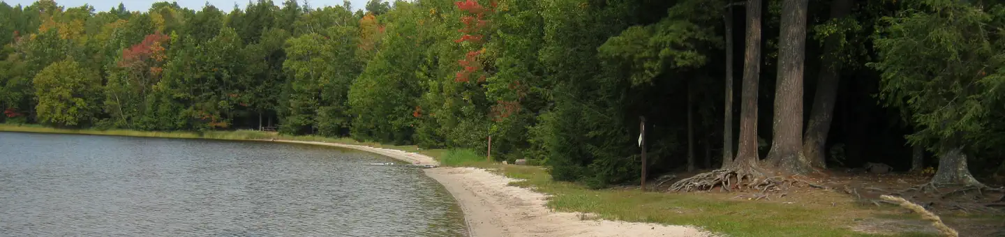
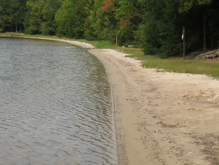
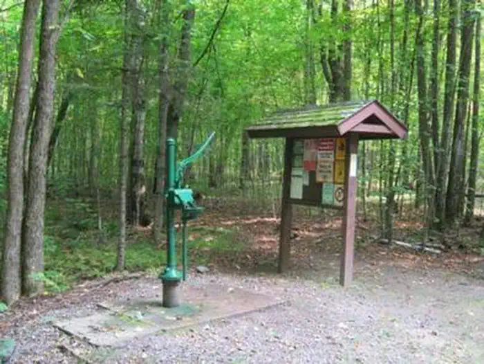
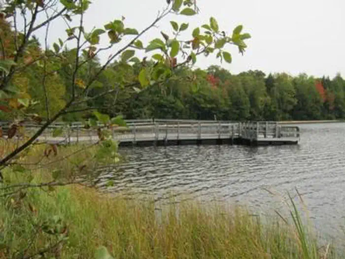
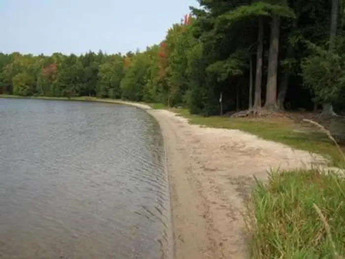
Overview With a 500-foot swim beach and the crystal clear lake, Spectacle Lake Campground is a family favorite. Come fish for a variety of gamefish species or hike the trail to Kentuck Lake Campground. This 2.5-mile trail utilizes part of the old Thunder Lake Railroad bed and is a pleasant hike. Recreation The lake provides visitors with ample opportunities for boating, fishing and swimming. Anglers can expect a catch of walleye, largemouth and smallmouth bass, panfish and trout. The lake is open to all types of boating, motorized and non-motorized. The Spectacle-Kentuck Trail extends from the campground along the old Thunder Lake Railroad bed all the way to Kentuck Lake Campground, approximately 2.5 miles away. A variety of wildlife make its home in the area and visitors are encouraged to keep watch. Facilities The campground offers 34 single family campsites, available for tent or RV camping. The campground offers both first-come, first-served campsites as well as sites which can be reserved in advance. Sites are equipped with tables and fire rings with grills. Vault toilets and drinking water are available throughout the campground. For more information about Spectator Lake Campground, print an information sheet (PDF) which includes a map of the campground. Natural Features This campground is located on the east shore of Spectacle Lake in a mixed species forest at an elevation of 1,770 feet. The 166-acre lake boasts an enormous 500-foot-long sandy beach. Nearby Attractions The City of Eagle River is located about 16 miles southwest of the campground. A variety of services and activities are offered in Eagle River throughout the year.
From the USFS.Official page
Is this site free?
No. this site charges a fee. It is managed by the USFS. Sites are reservable through recreation.gov.
How do I get to this site?
this site is at 46.0114, -89.0109. We do not hold written directions for this one, so navigate to the coordinates.
Nearby
- Kentuck Lake Campground2.2 mi
- Franklin Lake5.6 mi
- Anvil Lake5.6 mi
- Anvil Lake Campground5.8 mi
- FRANKLIN LAKE6.0 mi
- LUNA WHITE DEER CAMPGROUND8.8 mi
- Lac Vieux Desert Campground11.0 mi
- Lake Ottawa Campground12.6 mi
No other services within 50 mi on the record.
SourceData from the USFS. Last synced September 19, 2026. Community reports and photos are submitted by travelers and are not verified by the agency.
