
Bay View (Hiawatha National Forest, MI)
Campground · Fee
Fast facts
- Cost
- Fee charged
- Type
- Campground
- Phone
- 906-203-9872
- Coordinates
- 46.4600, -84.7794
- Last verified
- September 19, 2026

About this place
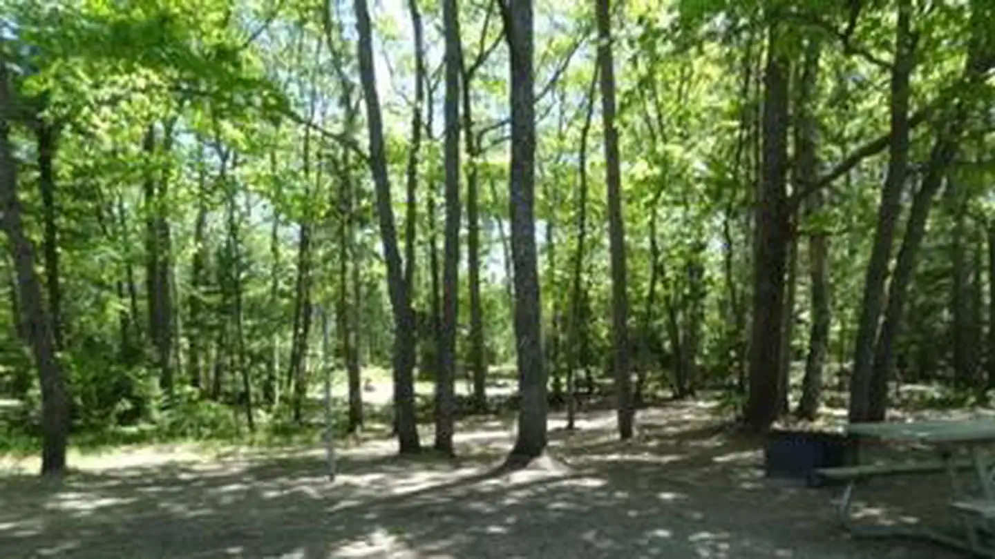
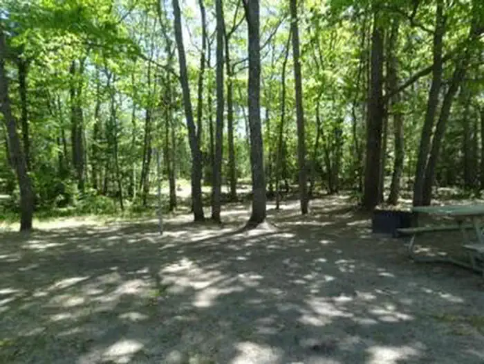
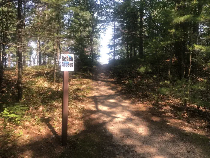
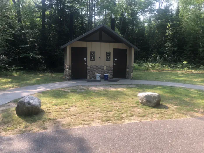
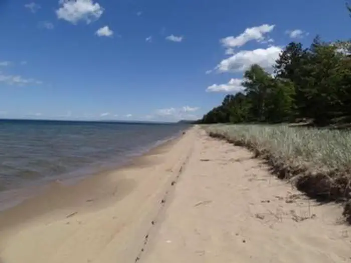
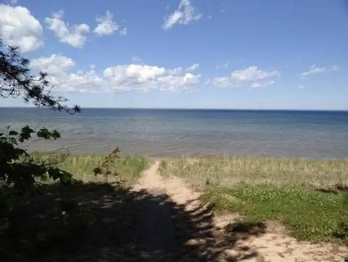
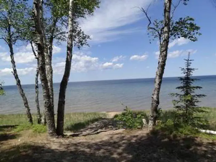
Overview Located just off the Whitefish Bay Scenic Byway in Michigan's Upper Peninsula, Bay View Campground provides a rustic opportunity to camp along the shores of Lake Superior. The campground is a perfect stop amidst many recreational opportunities available in the Sault Ste. Marie area. Visitors also enjoy exploring the Whitefish Bay National Scenic Byway all the way to the beautiful Tahquamenon Falls. Recreation Miles of sandy beaches and beautiful sunsets stretch across Lake Superior, the greatest single body of fresh water in the world. Birding and sightseeing are popular pastimes, and visitors enjoy long walks along Superior's beaches. Facilities The rustic campground offers multiple single-family campsites for tent and RV camping. Each site is equipped with a picnic table and campfire rings with grills. Vault toilets and hand-pumped drinking water are available at several locations within the campground. Most of the sites are heavily shaded. A campground host lives at the campground and can be available to answer any questions. Natural Features The campground is located in Lake Superior's famous Whitefish Bay, the site of numerous historically preserved shipwrecks and lighthouse stations. The area is also a natural corridor for migratory birds. Nearby Attractions Tahquamenon Falls, a series of beautifully brown-colored waterfalls on the Tahquamenon River, are located just 30 miles away. The Great Lakes Shipwreck Museum and Whitefish Point Lighthouse are 39 miles to the north and west while the Point Iroquois Lighthouse lies about 8 miles east. Contact Info For facility specific information, please call (906) 767-1111. Charges & Cancellations Please cancel 7 days in advance if you need to cancel your reservation. Reserve sites cannot be transferred to walk up sites.
From the managing agency.
Is this site free?
No. this site charges a fee.
How do I get to this site?
this site is at 46.4600, -84.7794. We do not hold written directions for this one, so navigate to the coordinates.
Nearby
- Bay View Campground0.7 mi
- Monocle Lake Campground6.7 mi
- MONOCLE LAKE6.8 mi
- Soldier Lake Campground8.6 mi
- SOLDIER LAKE8.7 mi
- THREE LAKES13.6 mi
- Three Lakes Campground13.7 mi
- CARP RIVER CAMPGROUND29.6 mi
No other services within 50 mi on the record.
SourceSource data is agency published. Last synced September 19, 2026. Community reports and photos are submitted by travelers and are not verified by the agency.
