
Rohrbach Group Campground
Campground · Fee
Fast facts
- Cost
- Fee charged
- Type
- Campground
- Phone
- (301) 432-5124
- Coordinates
- 39.4742, -77.7444
- Last verified
- September 19, 2026
About this place
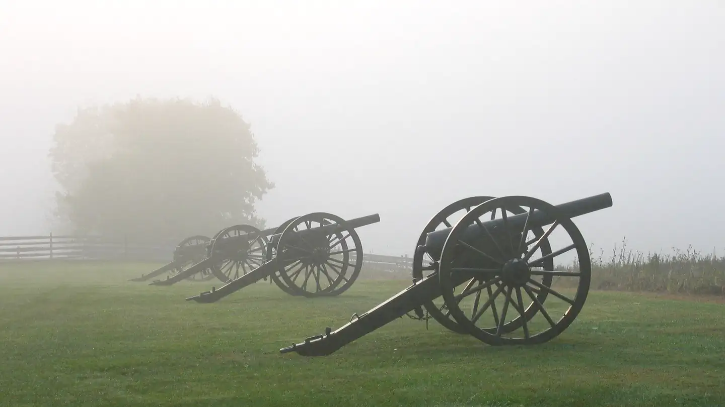
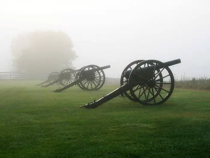
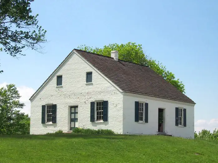
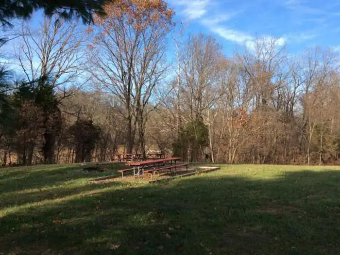
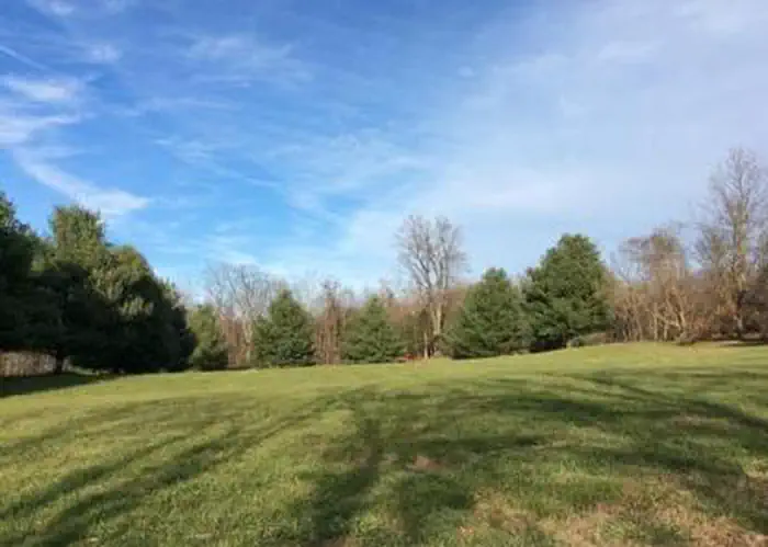
Overview THIS IS NOT A PUBLIC CAMPGROUND. ONLY SCOUTS AND CIVIC ORGANIZATIONS MAY USE ROHRBACH CAMPGROUND. Antietam National Battlefield is the site of the bloodiest one day battle in American history. After twelve hours of savage combat on September 17, 1862, 23,000 soldiers were killed, wounded or missing. The Battle of Antietam ended the Confederate Army of Northern Virginia's first invasion into the North and led to Abraham Lincoln's issuance of the preliminary Emancipation Proclamation. Rohrbach Campground is part of the Antietam National Battlefield. It is a walk-in, primitive camping area available to scouts and civic organization groups only (see "Know Before You Go," below, for individual camping options in the area). The campground has 10 sites, each of which is provided with a fire ring and picnic tables and space to accommodate a maximum of 30 people. The campground is typically open from April through November. Recreation Recreational activities in Antietam National Battlefield include hiking and attending a park ranger program or pre-arranging a ranger led activity. There are 15 miles (24 km) of trails to explore with the Bloody Lane and Final Attack Trails being the most popular. Biking the battlefield tour road is another popular activity while visiting Antietam. Riders under the age of 16 are required to wear helmets. Facilities All sites are available for advance reservation only. There are no first-come, first-served sites. Each campsite offers a fire ring and picnic tables and space to accommodate a maximum of 30 people. Pit toilets and handwashing stations are available at the campground and indoor facilities are located at the Antietam National Cemetery and the visitor center. Bring your own potable water. Drinking water is not provided at the campground, there is access to a spicket with drinkable water for filling containers located behind the park visitor center at 5831 Dunker Church Rd. Sharpsburg, Maryland 21782. Natural Features The battlefield, located in the Cumberland Valley of western Maryland, encompasses over 3,250 acres of farmland, pastures, woodlots and limestone forests. Antietam's diverse landscape provides a noteworthy habitat for wildlife observation. During a typical day at the battlefield, visitors are most likely to see woodchucks and white-tailed deer. The open fields provide great habitat for a range of birds such as Eastern Bluebirds, Horned Larks and Grasshopper Sparrows. Small stands of trees and wooded areas attract Pileated Woodpeckers, various owls and Red-Tailed Hawks. Nearby Attractions Visit the park's Things to Do page. Charges & Cancellations A $10.00 service fee will apply if you change your reservation. Cancellations more than 48 hours in advance of arrival date incur a $10 cancellation fee. Within 48 hours of arrival, a $10 cancellation fee and the first night's fee are charged.
From the managing agency.
Is Rohrbach Group Campground free?
No. Rohrbach Group Campground charges a fee.
How do I get to Rohrbach Group Campground?
Rohrbach Group Campground is at 39.4742, -77.7444. We do not hold written directions for this one, so navigate to the coordinates.
Nearby
- Horseshoe Bend Hiker-Biker Campsite1.8 mi
- Big Woods Hiker-Biker Campsite2.9 mi
- Big Woods Hiker-Biker Overnight (HBO) Campsite2.9 mi
- Killiansburg Cave Hiker-Biker Campsite3.0 mi
- Antietam Creek Campground3.7 mi
- Antietam Creek Campsite3.8 mi
- Opequon Junction Hiker-Biker Campsite6.8 mi
- Cumberland Valley Hiker-Biker Campsite8.4 mi
No other services within 50 mi on the record.
SourceSource data is agency published. Last synced September 19, 2026. Community reports and photos are submitted by travelers and are not verified by the agency.
