
Antietam Creek Campsite
Campground · Fee not listed
Fast facts
- Cost
- Not listed. Check locally.
- Type
- Campground
- Coordinates
- 39.4191, -77.7465
- Last verified
- September 19, 2026


About this place
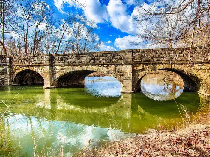
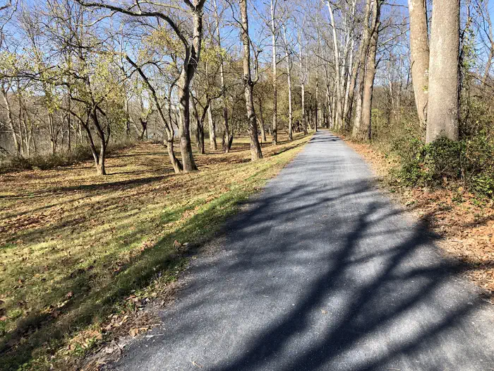
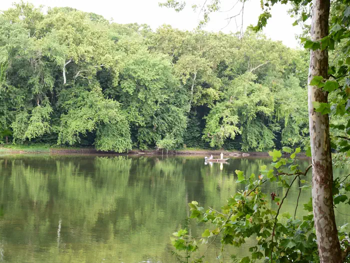
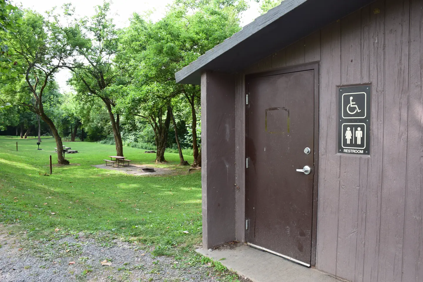
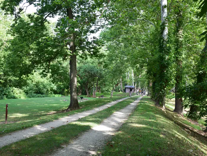
Overview The Antietam Creek Campground is located at Mile 69.4 on the C&O Canal Towpath, a few miles south of Shepherdstown on the Maryland side of the Potomac River. The campsites are nestled in the woods between the Canal and the Potomac River and they are a short distance from many recreational opportunities. Fishing, boating and hiking are but a few possibilities while staying at Antietam Creek Campground. Alcoholic beverages are prohibited. Recreation Popular activities at Antietam Creek include boating and fishing. Kayaking the creek and surrounding areas, the scenery changes at various times of the year. Nearby boat ramps at Dargan Bend and Snyders Landing provide motor boat access to the river. Fishing is also a popular pastime in both the watered sections of the C&O Canal the Potomac River. Be sure to acquire a Maryland Fishing License for those age 16 or older. West Virginia Licenses are approved for fishing in the Potomac only. Facilities The campground has 20 single campsites each with a picnic table, fire ring and grill. Each campsite will accommodate up to eight campers. Protected pit toilets are located between campsite #6 and campsite #7 adjacent to the towpath. A second set of chemical toilets are available down the towpath. Potable water is along the towpath at pumps (may not be available during cold winter months). No vehicular traffic is allowed on the towpath and access to the campsites is by foot only. Parking is allowed on the shoulder of Canal Rd only. Natural Features Antietam Creek Campground is just south of Sharpsburg, MD. Antietam Creek is a typically mild and slow moving creek which feeds into the much larger and faster Potomac River directly adjacent to the campsite. River rise and floods can modify conditions quickly here. Nearby Attractions Antietam National Battlefield, South Mountain State Park and Harpers Ferry National Historical Park all provide additional hiking and history adventures specifically about the Civil War Era. Contact Info This location is unstaffed. To speak with our main office for general information, please call: (301) 739-4200.
From the managing agency.
Is Antietam Creek Campsite free?
We do not have a fee on record for Antietam Creek Campsite. Confirm the cost locally before you go.
How do I get to Antietam Creek Campsite?
Antietam Creek Campsite is at 39.4191, -77.7465. We do not hold written directions for this one, so navigate to the coordinates.
Nearby
- Antietam Creek Campground0.2 mi
- Rohrbach Group Campground3.8 mi
- Killiansburg Cave Hiker-Biker Campsite3.9 mi
- Horseshoe Bend Hiker-Biker Campsite4.9 mi
- Huckleberry Hill Hiker-Biker Campsite5.4 mi
- Big Woods Hiker-Biker Overnight (HBO) Campsite5.7 mi
- Big Woods Hiker-Biker Campsite5.7 mi
- Opequon Junction Hiker-Biker Campsite9.0 mi
No other services within 50 mi on the record.
SourceSource data is agency published. Last synced September 19, 2026. Community reports and photos are submitted by travelers and are not verified by the agency.
