
WESTVILLE RECREATION AREA
Campground · Fee not listed
Fast facts
- Cost
- Not listed. Check locally.
- Type
- Campground
- Phone
- 978-318-8848
- Coordinates
- 42.0728, -72.0628
- Last verified
- September 19, 2026
About this place
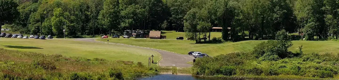
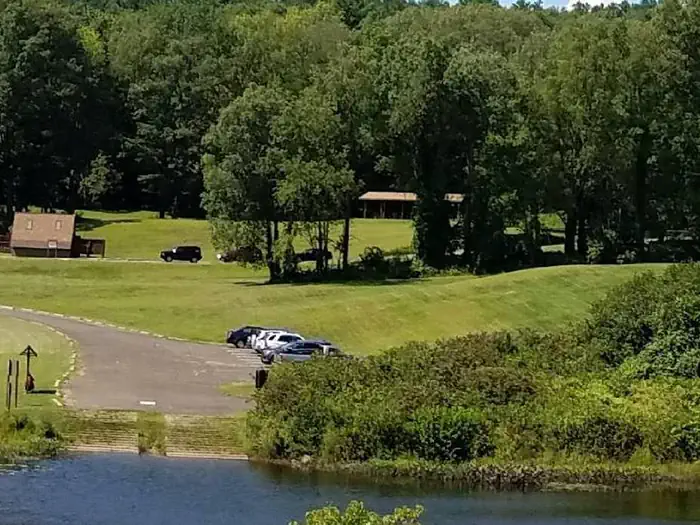
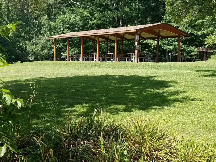
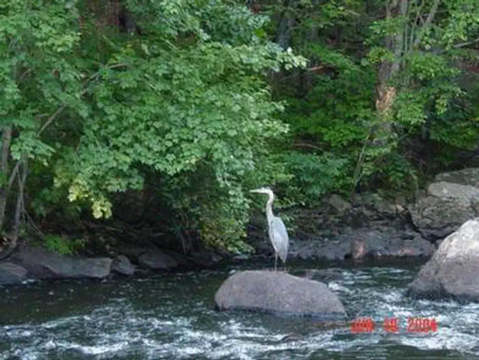
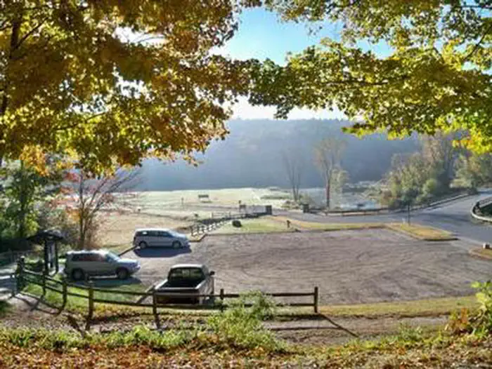
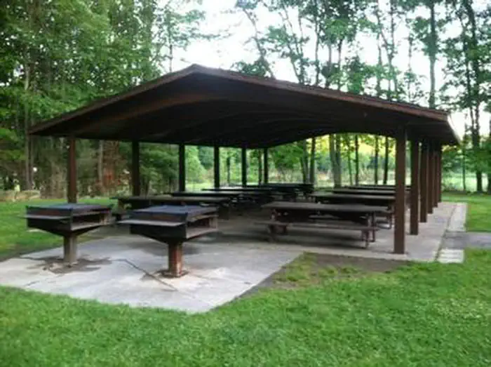
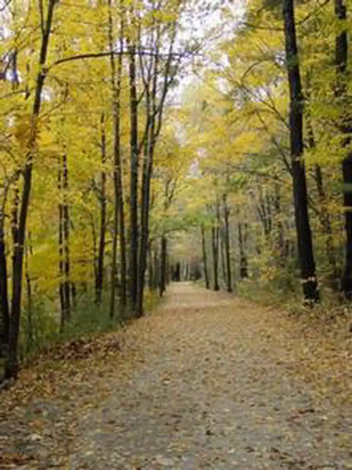
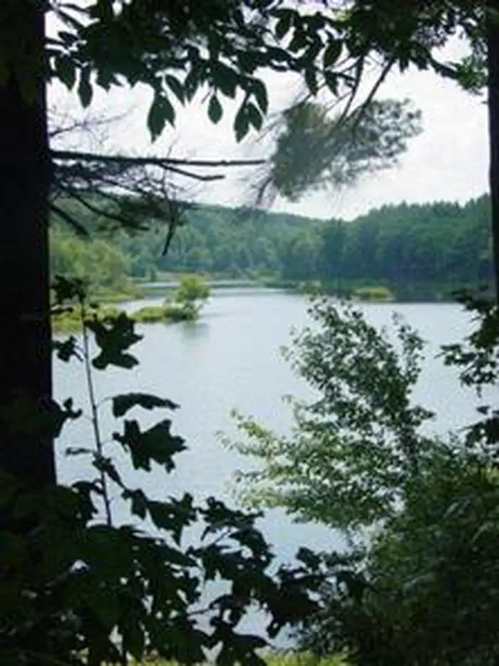
Overview Westville Lake is situated on the Quinebaug River in the towns of Southbridge and Sturbridge, Massachusetts. Westville offers a variety of hiking opportunities, group picnic shelters, a picnic cove, a large recreation field, canoe/kayak launches, and much more. Recreation Westville Lake offers two large picnic shelters for hosting any number of events, a canoe/kayak launch into a slow current river, fishing opportunities, plenty of charcoal grills and picnic tables for everyone to enjoy, and a trail network perfect for hiking for all ages. In the winter, there is an ice skating pond in the park and perfect sledding hills! Facilities There are two large picnic shelters with electricity hook-ups, picnic tables, and grills available for use in the recreation area. There is a large picnic cove with many picnic tables and grills. There are also flush toilets, drinking water, and hiking trails available throughout the park. Natural Features The recreation area features a large open field, a picnic cove with trees for shade on those hot summer days, and beautiful waterside views for wildlife viewing. Nearby Attractions Explore the living history museum of Old Sturbridge Village nearby. Charges & Cancellations Season Dates 2020 May 16, 2020 - September 7, 2020
From the managing agency.
Is WESTVILLE RECREATION AREA free?
We do not have a fee on record for WESTVILLE RECREATION AREA. Confirm the cost locally before you go.
How do I get to WESTVILLE RECREATION AREA?
WESTVILLE RECREATION AREA is at 42.0728, -72.0628. We do not hold written directions for this one, so navigate to the coordinates.
Nearby
- Buffumville Lake (Group Shelter)8.6 mi
- West Thompson Lake Campground11.7 mi
- WEST HILL PARK23.8 mi
- TULLY LAKE RECREATION AREA (MA)40.2 mi
- INDIAN HOLLOW44.4 mi
No other services within 50 mi on the record.
SourceSource data is agency published. Last synced September 19, 2026. Community reports and photos are submitted by travelers and are not verified by the agency.
