
INDIAN HOLLOW
Campground · Fee not listed
Fast facts
- Cost
- Not listed. Check locally.
- Type
- Campground
- Phone
- 413-667-3430
- Coordinates
- 42.3419, -72.8494
- Last verified
- September 19, 2026


About this place
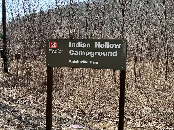
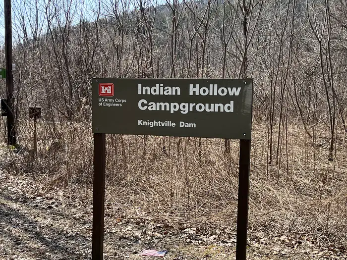
Overview With abundant wildlife, lush scenery and waterfront views, Indian Hollow Group Campground, located at the Knightville Dam and Reservoir, offers groups and clubs a recreational oasis. Recreation The rivers and streams at Knightville offer excellent trout fishing, and the river is stocked with trout in both the spring and fall. The surrounding hills provide prime upland game habitat, and the Commonwealth of Massachusetts stocks pheasants for the fall hunting season. Hunting and fishing are permitted in the area in accordance with posted restrictions and Massachusetts laws. Visitors can enjoy hiking, mountain biking or horseback riding along several miles of trails and old country roads. Interpretive programs on the cultural and natural resources, water resources, water safety and flood control are provided by Park Rangers. Facilities Indian Hollow accommodates community groups such as schools, scouts and clubs. Flush toilets, showers and drinking water create a comfortable camping atmosphere. Natural Features In summertime the open areas of the river basin have spectacular blooms of wildflowers. These old fields attract many species of songbirds and butterflies. This area is within a Massachusetts Watchable Wildlife site, and visitors may catch a glimpse of deer, coyotes, beavers, grouse, turkeys or waterfowl while exploring the area. The area sits alongside the East Branch of the Westfield River, which is nationally recognized for its scenic qualities. Nearby Attractions The 2-mile long Claude M. Hill Horse Trail, which connects the campground to the Knightville Dam area, provides horseback riding and other non-motorized recreational opportunites. Chesterfield Gorge is a scenic natural feature along the Westfield River, approximately 4 miles upstream of the camping area. The East Branch Trail, a 6-mile hiking trail, follows the river from the Chesterfield Gorge to the Knightville Wildlife Magagement Area, and can be accessed from the campground.
From the managing agency.
Is INDIAN HOLLOW free?
We do not have a fee on record for INDIAN HOLLOW. Confirm the cost locally before you go.
How do I get to INDIAN HOLLOW?
INDIAN HOLLOW is at 42.3419, -72.8494. We do not hold written directions for this one, so navigate to the coordinates.
Nearby
- Seth Warner Shelter34.4 mi
- Congdon Shelter37.4 mi
- TULLY LAKE RECREATION AREA (MA)38.5 mi
- Melville Nauheim Shelter39.7 mi
- Somerset Airfield42.8 mi
- WESTVILLE RECREATION AREA44.4 mi
- Goddard Shelter45.1 mi
- NORTHFIELD BROOK LAKE GROUP SHELTERS46.9 mi
No other services within 50 mi on the record.
SourceSource data is agency published. Last synced September 19, 2026. Community reports and photos are submitted by travelers and are not verified by the agency.
