
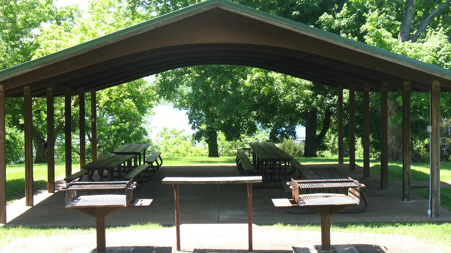
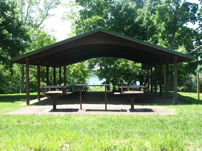
The Narrows Picnic Shelter
Campground · Fee not listed
Fast facts
- Cost
- Not listed. Check locally.
- Type
- Campground
- Phone
- 270-646-2055
- Nearest dump station
- Branchville Dump Station · 91.3 mi
- Coordinates
- 36.9015, -86.0652
- Last verified
- September 19, 2026
About this place
Overview The Narrows Picnic Shelter is on Barren River Lake, perfect for water lovers and anglers. The shelter is located near a marina and boat launch ramp. Recreation Boating and fishing are popular pastimes at The Narrows. Walk down to the shoreline and fish amongst the weeping willows or take off by boat to fish in a quiet setting at Coon, Green, Beaver or Skaggs Creek. The Narrows campground is also near open waters for tubing, skiing or wakeboarding. The campground backs into the Lindsey Nature Trail, where hikers can look off the steep limestone cliffs to get panoramic views of the lake while listening to the cicada's buzz throughout the afternoon. Or take a hike at dusk to hear the seasonal nighthawk call in the night. Natural Features Find a place uphill along the cliffs or down at the gently sloping shoreline. Explore the islands between The Narrows and Bailey's Point you may just catch the glimpse of a deer that swam over for refuge.
From the managing agency.
Is The Narrows Picnic Shelter free?
We do not have a fee on record for The Narrows Picnic Shelter. Confirm the cost locally before you go.
How do I get to The Narrows Picnic Shelter?
The Narrows Picnic Shelter is at 36.9015, -86.0652. We do not hold written directions for this one, so navigate to the coordinates.
Nearby
SourceSource data is agency published. Last synced September 19, 2026. Community reports and photos are submitted by travelers and are not verified by the agency.
