
MAMMOTH PICNIC SHELTERS
Campground · Fee not listed
Fast facts
- Cost
- Not listed. Check locally.
- Type
- Campground
- Phone
- 270-758-2424
- Nearest dump station
- Branchville Dump Station · 71.4 mi
- Coordinates
- 37.1833, -86.1500
- Last verified
- September 19, 2026
About this place
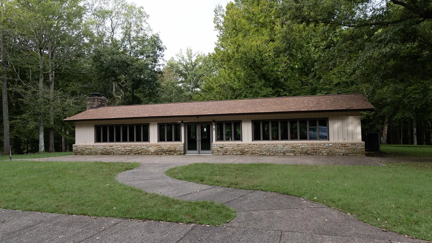
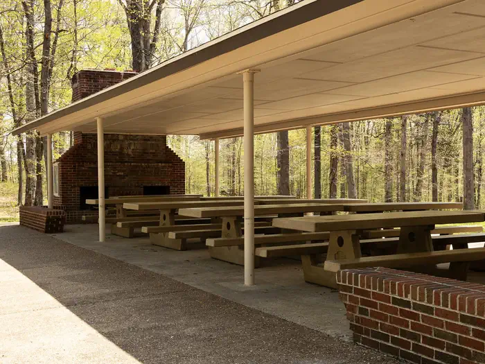
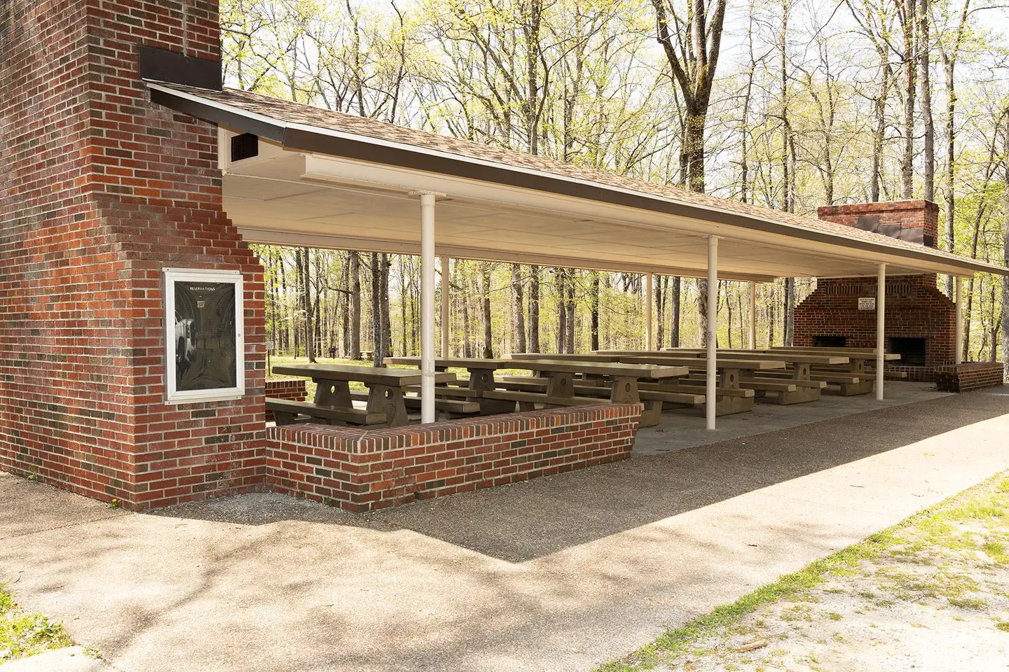
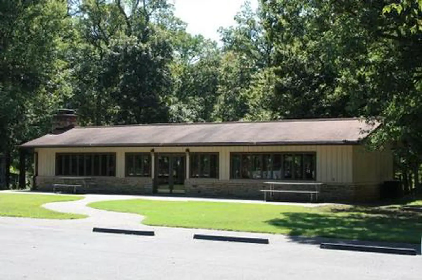
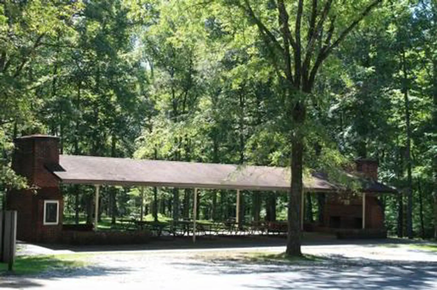
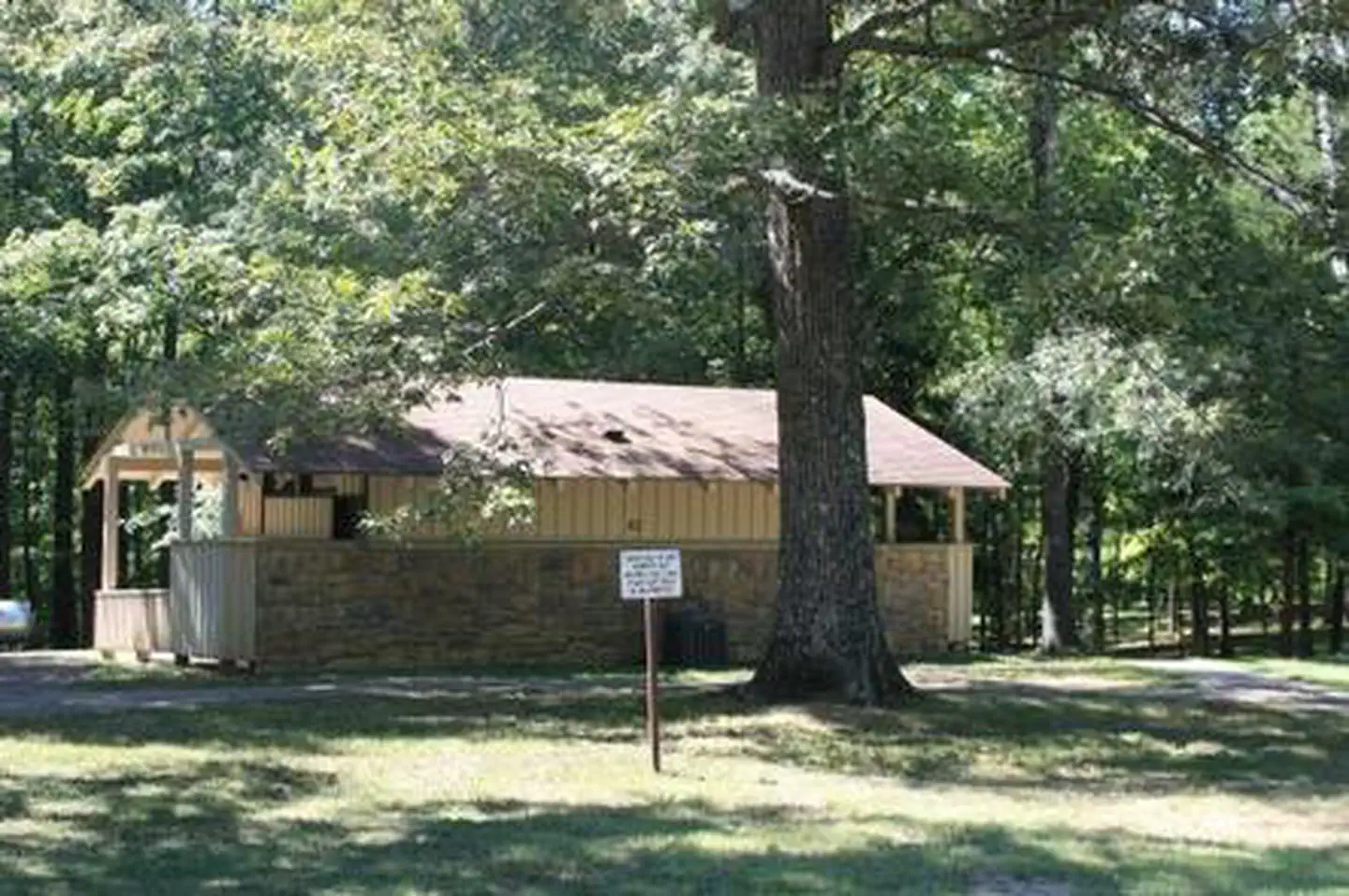
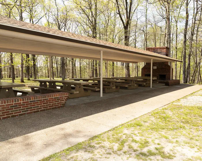
Overview Please review the updated summer and new winter hours for the enclosed shelter below: Enclosed Shelter (Shelter G001): Available by reservation on Saturdays and Sundays from 10:00 AM to 6:00 PM during the summer season. Visitors can pick up the key at the Campground Kiosk starting at 10:00 AM. A driver’s license is required when picking up the key, a copy will be made and returned. The key must be returned no later than 6:00 PM. Open Shelter (Shelter G002): Open daily from 8:00 AM to 6:00 PM. The picnic area includes fire grates, charcoal grills, restrooms, potable water, garbage dumpsters, and access to hiking trails. The open shelter can be reserved only during the summer season. *** New, Winter Enclosed Shelter Hours: From December 1st through February 21st, the enclosed shelter will be available every day from 9:00 AM to 4:00 PM. Key and information will be picked up and returned to Visitor Center during Winter Hours.*** Recreation Picnicking, enjoying the outdoors, and exploring the caves are of primary interest to visitors. The site has trailheads to the Green River Bluffs Trail and the Dixon Cave Trail. Both hiking trails are about a mile long. Facilities The picnic shelters are across from the Visitor Center parking lot, nestled in the Picnic Area. Each shelter is equipped to accommodate up to 60 people. Choose from the enclosed shelter or the open shelters, and enjoy the grassy surrounding area as well. Natural Features The picnic shelters are surrounded by oak, elm, and maple trees in the Green River Valley. The park sits above the labyrinth of underground caves and extends out over rolling hill country. Nearby Attractions The Green River is where anglers can fish for perch, bass and bluegills, and where kayakers can paddle past lush, tree-lined banks. Any part of Mammoth Cave National Park's 52,800 acres is worth exploring through trails or scenic drives. Charges & Cancellations For rules and reservation policies please follow the link below: https://www.recreation.gov/rules-reservation-policies
From the managing agency.
Is MAMMOTH PICNIC SHELTERS free?
We do not have a fee on record for MAMMOTH PICNIC SHELTERS. Confirm the cost locally before you go.
How do I get to MAMMOTH PICNIC SHELTERS?
MAMMOTH PICNIC SHELTERS is at 37.1833, -86.1500. We do not hold written directions for this one, so navigate to the coordinates.
Nearby
SourceSource data is agency published. Last synced September 19, 2026. Community reports and photos are submitted by travelers and are not verified by the agency.
