
Tailwater Day Use (Nolin River Lake)
Campground · Fee not listed
Fast facts
- Cost
- Not listed. Check locally.
- Type
- Campground
- Phone
- 270-286-4511
- Nearest dump station
- Branchville Dump Station · 63.6 mi
- Coordinates
- 37.2750, -86.2510
- Last verified
- September 19, 2026

About this place
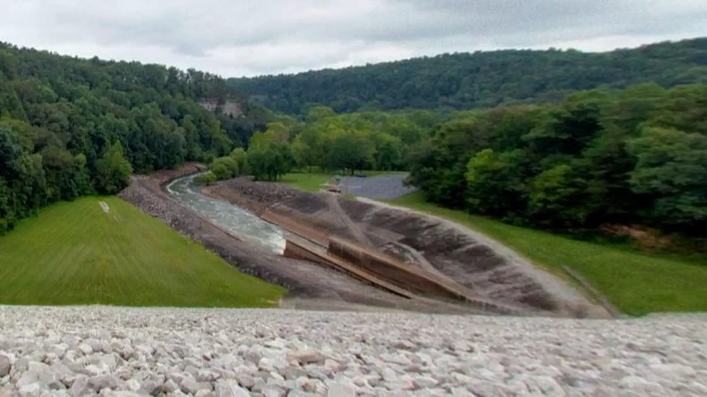
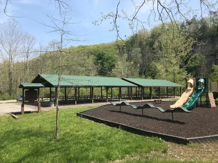
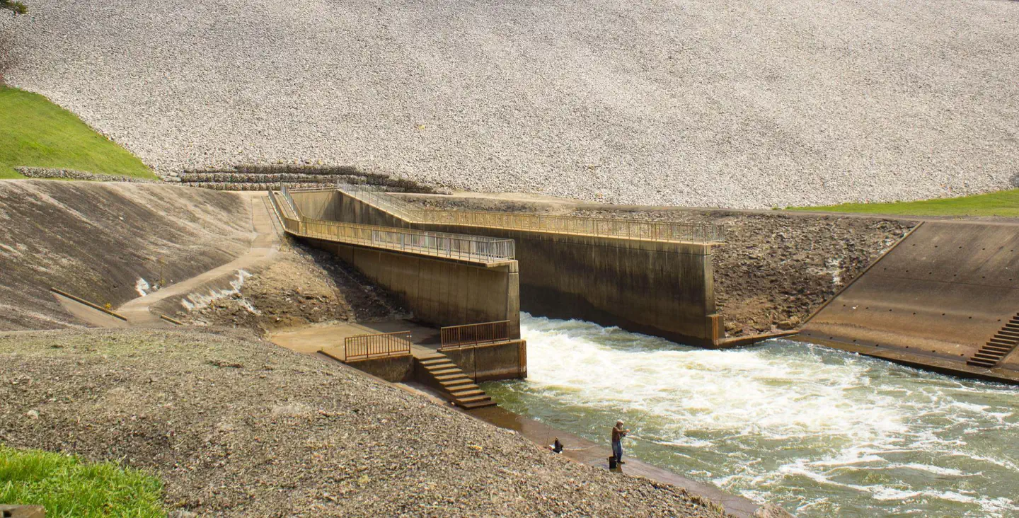
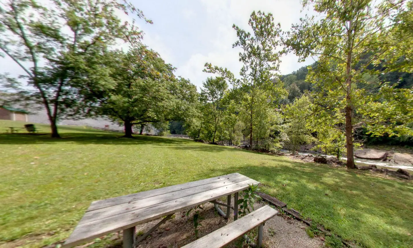
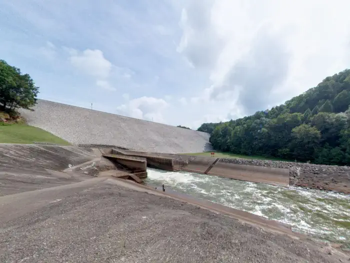
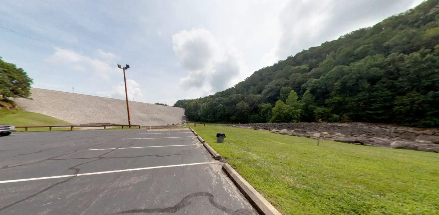
Overview Tailwater Day Use area is located on the Nolin River below Nolin River Lake Dam and Spillway. The day use area has restrooms, playgrounds, a boat ramp, picnic tables, and a reservable group shelter. Recreation Known for its unique blue/green water, Nolin Lake is one of the top lakes in Kentucky for catfish, bass, crappie and walleye fishing. Visitors can enjoy scenic canoe and boat trips along the river, part of which is located within Mammoth Cave National Park. Boat ramps are provided around the lake for campers' convenience. The Moutardier, Ponderosa and Wax Marinas are located around the lake and offer pontoon and john boat rentals, as well as boat slips and groceries, bait, gas and more. Natural Features Nolin Dam creates a 5,795-acre lake that draws more than two million visitors each year to enjoy water sports and camping in the surrounding expanse of rolling forest. Nearby Attractions Mammoth Cave National Park is located a short drive or ferry ride away. Contact Info For facility specific information, please call (270) 286-4511.
From the managing agency.
Is this site free?
We do not have a fee on record for this site. Confirm the cost locally before you go.
How do I get to this site?
this site is at 37.2750, -86.2510. We do not hold written directions for this one, so navigate to the coordinates.
Nearby
SourceSource data is agency published. Last synced September 19, 2026. Community reports and photos are submitted by travelers and are not verified by the agency.
