
LAUREL BRANCH
Campground · Fee not listed
Fast facts
- Cost
- Not listed. Check locally.
- Type
- Campground
- Phone
- 270-257-8839
- Nearest dump station
- Branchville Dump Station · 38.5 mi
- Coordinates
- 37.6075, -86.4536
- Last verified
- September 19, 2026


About this place
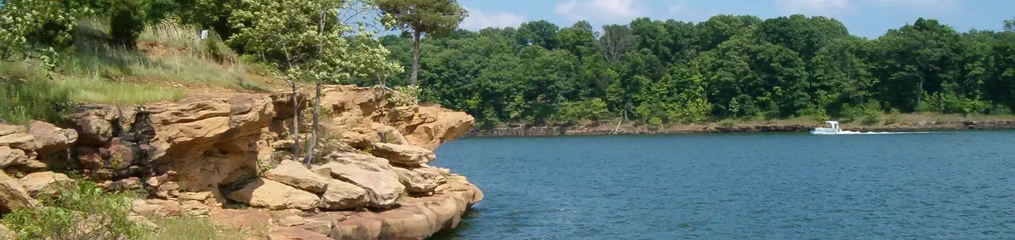
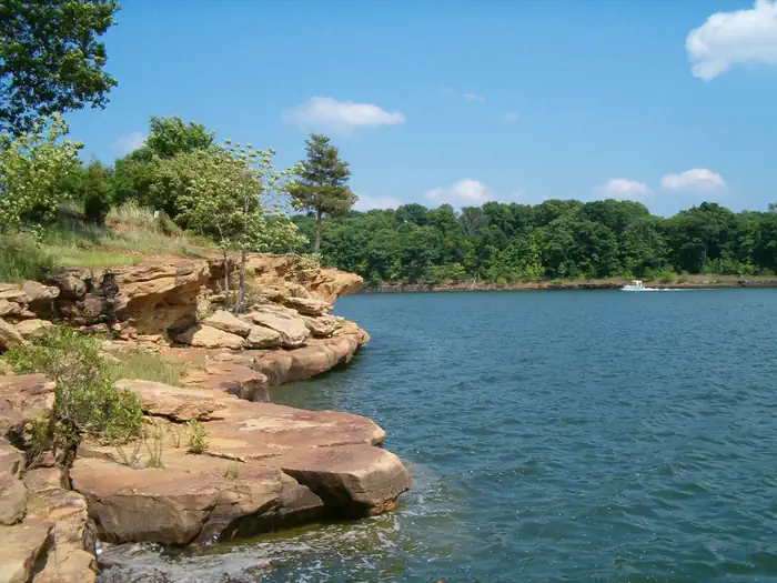
Overview Laurel Branch Campground is located on the shore of Rough River Lake in south central Kentucky. The 5,100-acre lake is a hometown paradise for visitors who love the outdoors, and more than two million visitors camp, picnic, fish, swim, boat and relax on the lake shore each year. Recreation A wide variety of recreational activities and facilities are provided at the lake, including ample opportunities for boating and fishing. The most sought after fish are bass, crappie and catfish, and bass tournaments occur at the lake throughout the year. Additionally, pontoon, johnboat and jet ski rentals are available at the nearby marinas. Facilities Laurel Branch Campground offers 62 campsites, several of which have electric hookups. Most of the campsites are waterfront, while others are just a short walk away from the lake. Additional amenities include flush toilets, showers, playground, boat ramp, drinking water, nature trail, public beach, and fish cleaning station. Wi-fi is available from an outside source. Natural Features The rolling, forested hills of rural south central Kentucky offer an extraordinary setting for those who visit the lake. Rough River Lake provides views of ancient sandstone, shale and limestone cliffs. An abundance of water in the area, both surface and underground, has carved through limestone to create a myriad of sinks and caverns. The lake itself is home to numerous species of wildlife, including migratory songbirds and waterfowl. Nearby Attractions The historic Green Farm is adjacent to the lake. It consists of about 3,000 acres, a large ancestral home, an old water-powered mill and store and a golf course. George Washington once owned part of the land. Mammoth Cave National Park, which boasts the longest cave system in the world with more than 240 miles of mapped passageways, is about a one-hour drive away. Other nearby attractions also include the historic Holt House in Hardinsburg, the Jack Thomas House in Leitchfield, and the new Aquatic Center in Leitchfield. Contact Info For facility specific information, please call (270) 257-8839. Charges & Cancellations Once a reservation has been created, there will be a $10 fee to cancel your reservation, change sites, or change dates. Cancellations made the day before you are scheduled to arrive through the day after your arrival date will also be charged the first night's use fee. No-show's are charged a $20 fee plus the first night's use fee. If your reservation is for only 1 night, and you have been charged the first night's use fee, there is no $10 or $20 service fee charged.
From the managing agency.
Is LAUREL BRANCH free?
We do not have a fee on record for LAUREL BRANCH. Confirm the cost locally before you go.
How do I get to LAUREL BRANCH?
LAUREL BRANCH is at 37.6075, -86.4536. We do not hold written directions for this one, so navigate to the coordinates.
Nearby
SourceSource data is agency published. Last synced September 19, 2026. Community reports and photos are submitted by travelers and are not verified by the agency.
