
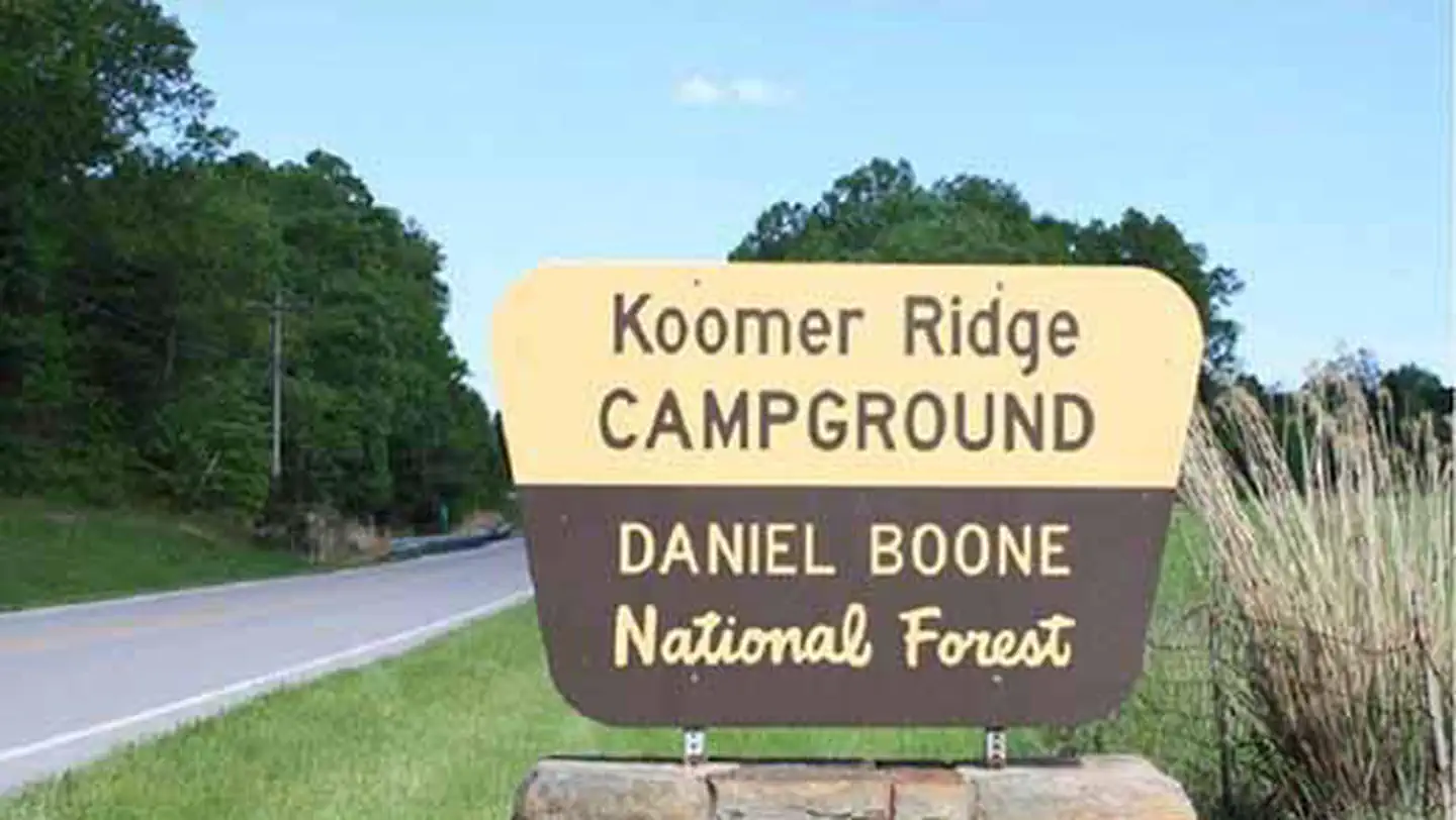
KOOMER RIDGE CAMPGROUND
Campground · Fee not listed
Fast facts
- Cost
- Not listed. Check locally.
- Type
- Campground
- Phone
- 606-663-8100
- Coordinates
- 37.7840, -83.6326
- Last verified
- September 19, 2026
About this place
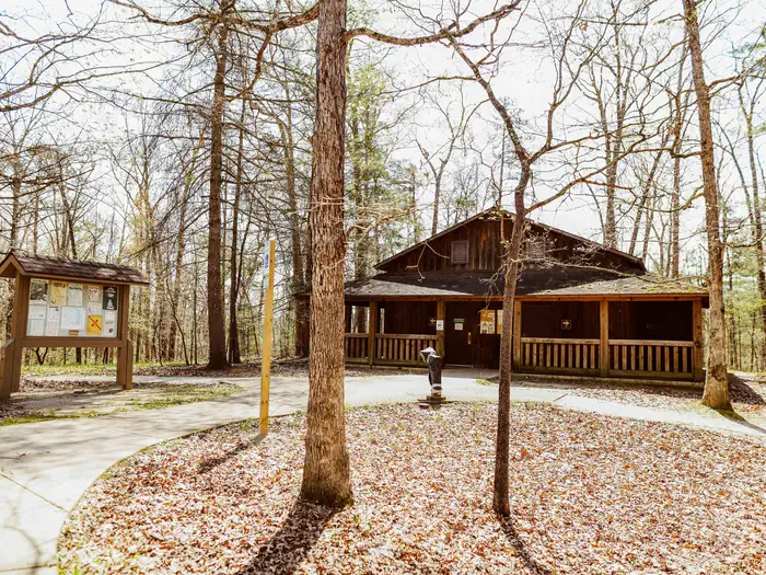
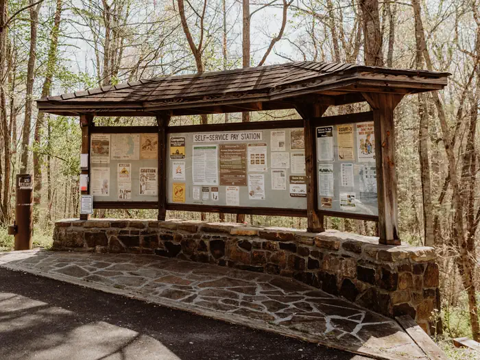
Overview This Campground offers dozens of shaded, wooded campsites. 54 suitable for tents and 19 suitable for a trailer. Camping and fires are prohibited in rock shelters. Recreation The Red River Gorge offers untouched beauty for hiking enthusiasts. From the campground access: Hidden Arch Trail, Koomer Ridge Trail, Cliff Trail and Silvermine Arch Trail. Facilities All sites have a picnic table and fire ring. Accessible vault toilets are available year round. Flush toilets and showers are available seasonally: April 1 through October 31. Drinking water is available seasonally: April 1 through October 31. Natural Features Koomer Ridge is located in the heart of the Red River Gorge on the Cumberland District in the Daniel Boone National Forest. Scenic sweeping views and amazing hiking trails. Nearby Attractions Red River Gorge, NADA Tunnel, Zilpo Campground, Tater Knob, Natural Bridge, Sky Bridge, Clifty Wilderness.
From the managing agency.
Is KOOMER RIDGE CAMPGROUND free?
We do not have a fee on record for KOOMER RIDGE CAMPGROUND. Confirm the cost locally before you go.
How do I get to KOOMER RIDGE CAMPGROUND?
KOOMER RIDGE CAMPGROUND is at 37.7840, -83.6326. We do not hold written directions for this one, so navigate to the coordinates.
Nearby
- Koomer Ridge Recreation Area0.0 mi
- Indian Creek Camping Area5.8 mi
- Clear Creek Recreation Area18.2 mi
- Claylick Boat-In Campground20.9 mi
- White Sulphur Horse Camp21.1 mi
- ZILPO - DANIEL BOONE NAT. FOR.21.3 mi
- Zilpo Recreation Area21.4 mi
- Twin Knobs Recreation Area22.3 mi
No other services within 50 mi on the record.
SourceSource data is agency published. Last synced September 19, 2026. Community reports and photos are submitted by travelers and are not verified by the agency.
