
GROVE
Campground · Fee not listed
Fast facts
- Cost
- Not listed. Check locally.
- Type
- Campground
- Phone
- 606-528-6156
- Nearest dump station
- Sugarlands RV Sanitary Station · 94.6 mi
- Coordinates
- 36.9417, -84.2167
- Last verified
- September 19, 2026
About this place
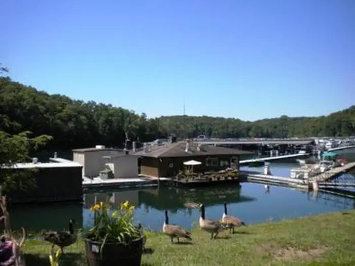
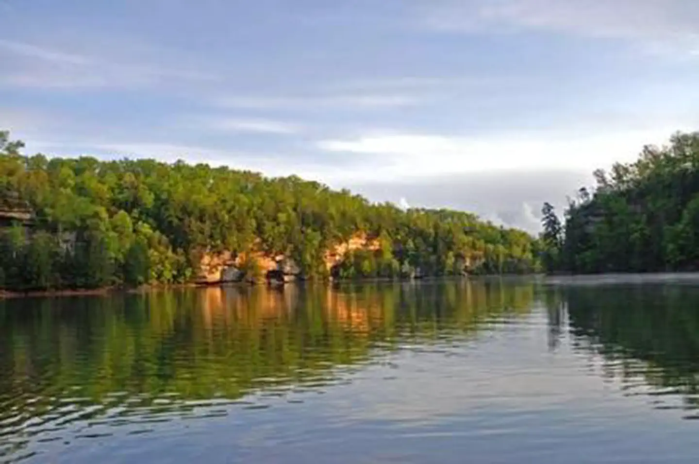
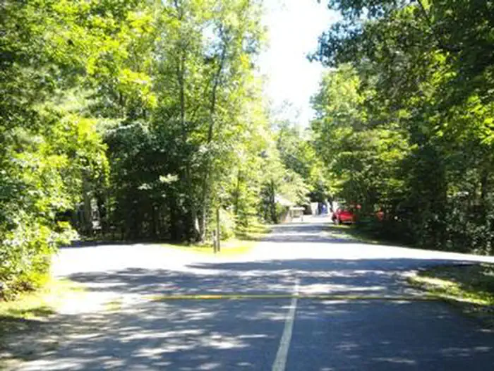
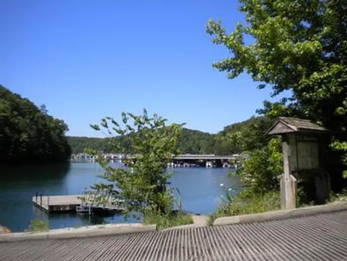
Overview Grove Campground is perched on a forested ridge above Laurel River Lake in Kentucky's Daniel Boone National Forest. The lake, fed by the Laurel River, is considered one of the most scenic lakes in the state. Boating, fishing, hiking and biking are greatly enjoyed by campers. Recreation Hikers, horseback riders and mountain bikers can trek more than 600 miles of road and trail in Daniel Boone National Forest. Duff Branch, Oak Branch, Fishing Point and Singing Hills Trails can all be accessed in the immediate area. Anglers find prized catches of walleye, crappie, brown trout and rainbow trout at Laurel River Lake. Boating and swimming are also popular activities. A boat ramp is located nearby at Grove Marina. Facilities The campground offers single and double family campsites, which have 30-amp electric hookups. Each site is equipped with a picnic table and campfire ring. Flush toilets, drinking water and showers are provided. Ice and firewood are sold on-site. Limited groceries can be found at Grove Marina. Natural Features The campground is in close proximity to the lake and is less than a mile from the shoreline. Laurel River Lake boasts 5,600 acres of deep, clear water and 192 miles of cliff-lined shores. Bountiful hills and valleys create a beautiful backdrop for the lake area. The forest was named after Daniel Boone, a famous frontiersman and explorer who settled in Kentucky in the late 18th century. Contact Info For facility specific information, please call (606) 878-8134.
From the managing agency.
Is GROVE free?
We do not have a fee on record for GROVE. Confirm the cost locally before you go.
How do I get to GROVE?
GROVE is at 36.9417, -84.2167. We do not hold written directions for this one, so navigate to the coordinates.
Nearby
SourceSource data is agency published. Last synced September 19, 2026. Community reports and photos are submitted by travelers and are not verified by the agency.
