
CRAIGS CREEK GROUP AREA
Campground · Fee not listed
Fast facts
- Cost
- Not listed. Check locally.
- Type
- Campground
- Phone
- 606-528-6156
- Nearest dump station
- Sugarlands RV Sanitary Station · 98.7 mi
- Coordinates
- 36.9917, -84.2583
- Last verified
- September 19, 2026
About this place
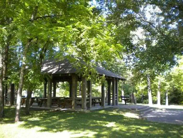
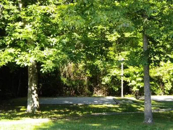
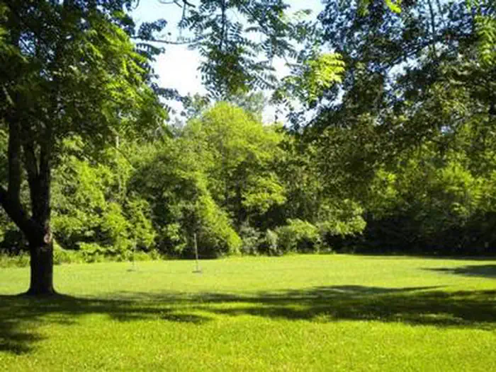
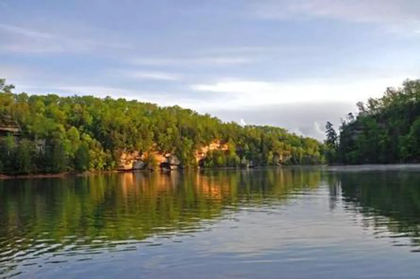
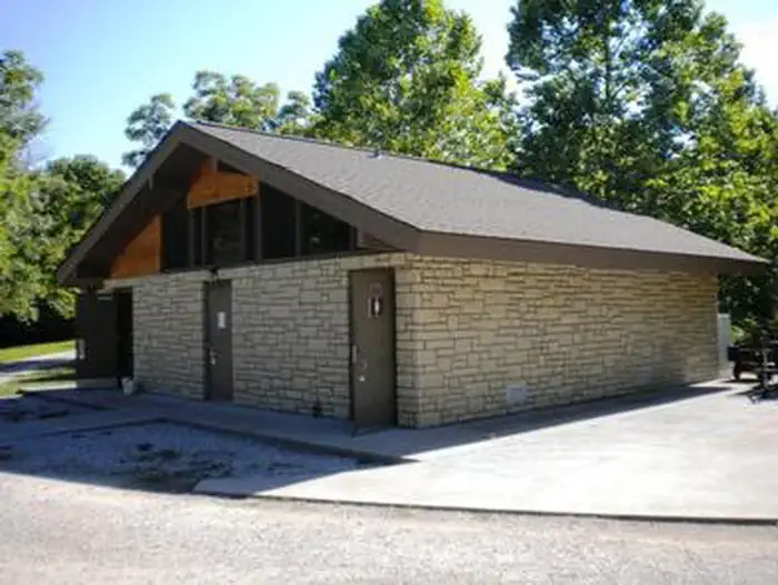
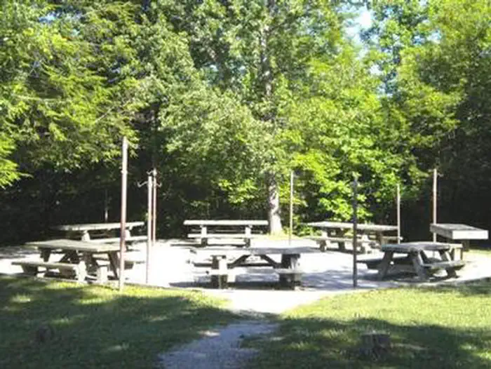
Overview Craigs Creek Group Area is perched near Laurel River Lake in the Daniel Boone National Forest. Here, group campers find hours of fun playing on the sports field, firing up the grills and exploring the beautiful lake. Daniel Boone National Forest protects 23 species listed as federally threatened or endangered. Species range from the magnificent bald eagle to the small Indiana bat and the Cumberland Sandwort. Recreation The hiking and biking trail at Craig's Creek is an easy, half-mile path that features several views of the lake. Picnicking, boating and fishing are popular pastimes for visitors. Fish species include crappie, catfish, and small and largemouth bass. A spacious sports field with a volleyball net and horseshoe pits lies near the picnic shelter. Facilities Group sites are for tent camping only and do not have electricity. The day-use picnic shelter fits 60 guests, and the group campsites fit up to 30 and 60 guests, depending on the location. Each group camp area comes with a campfire circle, large grill, picnic tables and a lantern pole. Modern vault toilets and a shower house are available. Natural Features The campground sits on Craig's Creek, which flows into an arm of Laurel River Lake across from Holly Bay Campground. The group site lies in a somewhat open space surrounded by woods. Set in the Appalachian foothills, plenty of hills and valleys create a beautiful backdrop for the lake area.
From the managing agency.
Is CRAIGS CREEK GROUP AREA free?
We do not have a fee on record for CRAIGS CREEK GROUP AREA. Confirm the cost locally before you go.
How do I get to CRAIGS CREEK GROUP AREA?
CRAIGS CREEK GROUP AREA is at 36.9917, -84.2583. We do not hold written directions for this one, so navigate to the coordinates.
Nearby
SourceSource data is agency published. Last synced September 19, 2026. Community reports and photos are submitted by travelers and are not verified by the agency.
