
Alum Ford Campground
Campground · Fee not listed
Fast facts
- Cost
- Not listed. Check locally.
- Type
- Campground
- Phone
- (423) 569-9778
- Nearest dump station
- Cades Cove New Dump Station · 91.2 mi
- Coordinates
- 36.7652, -84.5472
- Last verified
- September 19, 2026
About this place
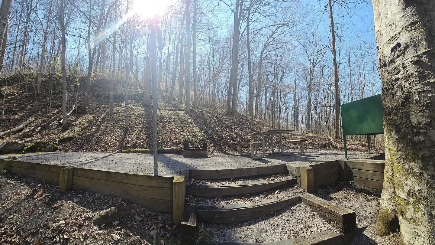
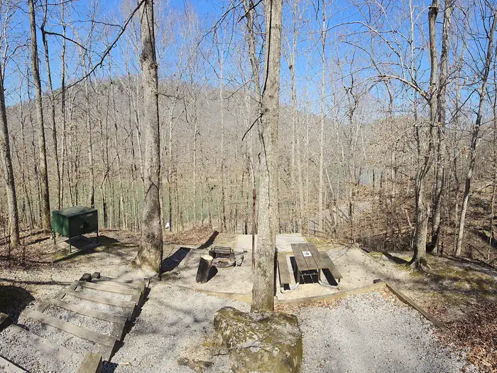
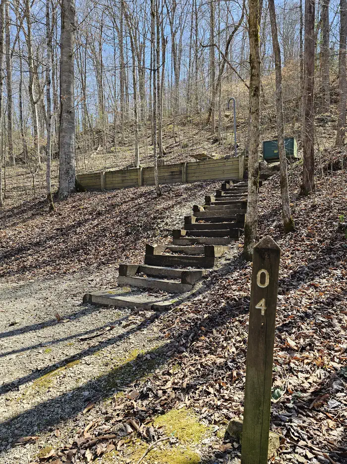
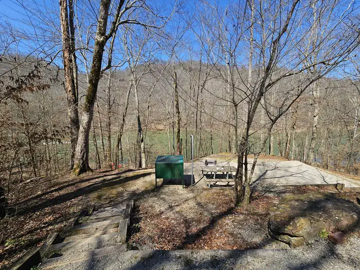
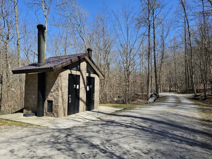
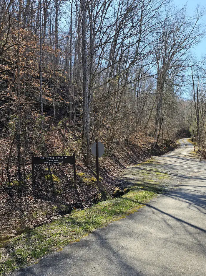
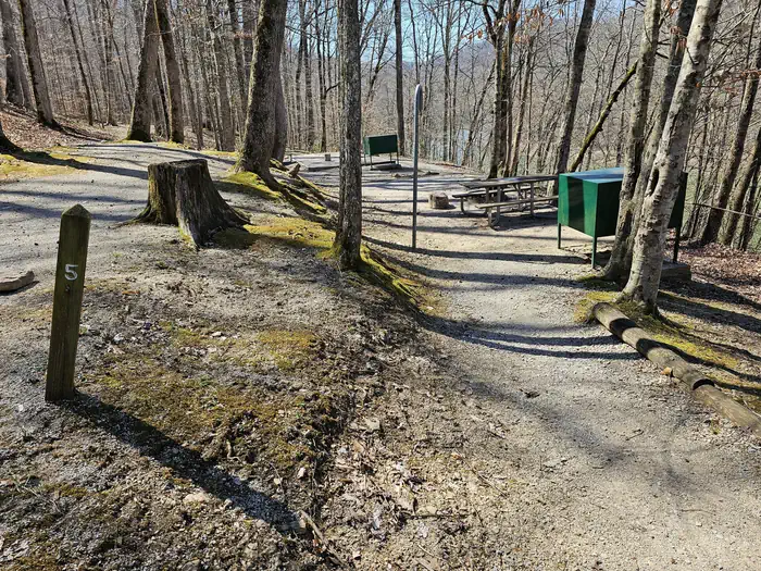
Overview Alum Ford Campground is located in the Kentucky portion of Big South Fork seven miles west of Whitley City, Kentucky at the end of Highway 700. The campground consists of six campsites each with picnic table and fire ring. Recreation The campground is located adjacent to the Alum Ford Boat Launch, providing access for motorized and non-motorized watercraft to this remote section of the Big South Fork River where it becomes Lake Cumberland. The Sheltowee Trace National Recreational Trail also passes through the campground. The Sheltowee Trace is a 260-mile back country trail through Daniel Boone National Forest, Big South Fork NRRA, and Natural Bridge, Cumberland Falls, & Pickett State Parks in Kentucky and Tennessee. Facilities Alum Ford Campground has six sites with tent pads, picnic tables, fire rings with grills, bear-proof garbage cans, and food storage lockers. A vault toilet facility is also available. Natural Features This small campground sits above the Alum Ford Boat Ramp which provides access to the Big South Fork River. Nearby Attractions The Big South Fork Scenic Railway Depot is located about 9 miles away in the town of Stearns, which offers train rides and other educational opportunities for campers. More information can be found online at https://bsfsry.com. Just a few miles from Stearns is Blue Heron Mine, also known as Mine 18, a historic abandoned mining town that has been rebuilt as an outdoor museum. Visitors can hear audio presentations from actual people who lived in the community in the 1950s. Additional attractions include the Daniel Boone National Forest and Cumberland Falls State Resort Park, offering additional recreation opportunities.
From the managing agency.
Is Alum Ford Campground free?
We do not have a fee on record for Alum Ford Campground. Confirm the cost locally before you go.
How do I get to Alum Ford Campground?
Alum Ford Campground is at 36.7652, -84.5472. We do not hold written directions for this one, so navigate to the coordinates.
Nearby
SourceSource data is agency published. Last synced September 19, 2026. Community reports and photos are submitted by travelers and are not verified by the agency.
