
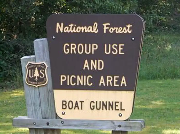
BOAT GUNNEL GROUP CAMPGROUND
Campground · Fee not listed
Fast facts
- Cost
- Not listed. Check locally.
- Type
- Campground
- Coordinates
- 38.0993, -83.5023
- Last verified
- September 19, 2026

About this place
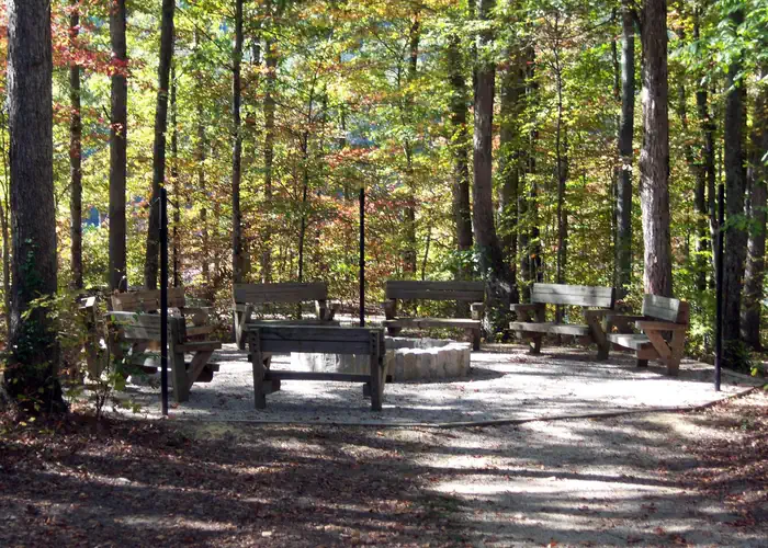
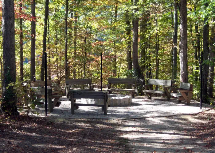
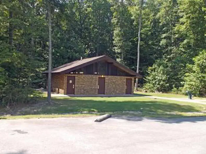
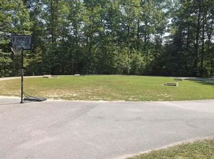
Overview Boat Gunnel Group Campground is located in the Daniel Boone National Forest on Cave Run Lake. Widely known for its scenic beauty and varied outdoor recreation opportunities, Cave Run Lake is home to Kentucky's state record Muskie. This 8,270-acre lake is jointly operated and managed by the U.S. Army Corps of Engineers and the U.S. Forest Service. Recreation Nearby Twin Knobs Campground offers a boat ramp and beach. Scenic foot trails in the area include the Boat Gunnel Shoreline Trail, the Oak Ridge Trail and the Wildlife Trail. Facilities Boat Gunnel Group Campground offers a bathhouse with flush toilets and showers, picnic shelter, horseshoe pit and drinking water. The camping area accommodates large groups of up to 100 people and is available by reservation only. The picnic shelter is equipped with a grill, serving table and electricity. Natural Features The Daniel Boone National Forest embraces some of the most rugged terrain west of the Appalachian Mountains. The forest lies within the Cumberland Plateau, where steep forested slopes, sandstone cliffs and narrow ravines characterize the land in this region. Cave Run Lake is in the Cumberland District in the northernmost part of the forest. The lake is surrounded by the rolling hills of northeastern Kentucky. Nearby Attractions The Morehead Office Visitor Center offers information about the Daniel Boone National Forest in addition to interpretive exhibits. A popular attraction within the Daniel Boone National Forest is the Red River Gorge Geological Area, which features more than 100 natural sandstone arches.
From the managing agency.
Is BOAT GUNNEL GROUP CAMPGROUND free?
We do not have a fee on record for BOAT GUNNEL GROUP CAMPGROUND. Confirm the cost locally before you go.
How do I get to BOAT GUNNEL GROUP CAMPGROUND?
BOAT GUNNEL GROUP CAMPGROUND is at 38.0993, -83.5023. We do not hold written directions for this one, so navigate to the coordinates.
Nearby
- Boat Gunnel Group Camping0.0 mi
- Twin Knobs Recreation Area0.6 mi
- TWIN KNOBS CAMPGROUND0.9 mi
- ZILPO - DANIEL BOONE NAT. FOR.1.7 mi
- Zilpo Recreation Area2.2 mi
- Cave Run Dam Tailwater2.2 mi
- Claylick Boat-In Campground3.2 mi
- White Sulphur Horse Camp4.1 mi
No other services within 50 mi on the record.
SourceSource data is agency published. Last synced September 19, 2026. Community reports and photos are submitted by travelers and are not verified by the agency.
