
SUPPLY PARK
Campground · Fee not listed
Fast facts
- Cost
- Not listed. Check locally.
- Type
- Campground
- Phone
- 580-766-2001
- Coordinates
- 36.5493, -99.5759
- Last verified
- September 19, 2026
About this place
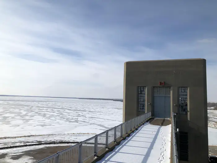
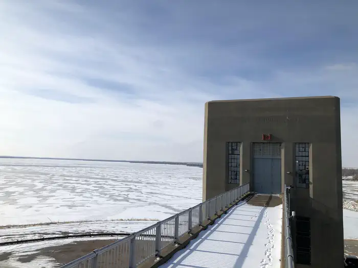
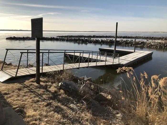
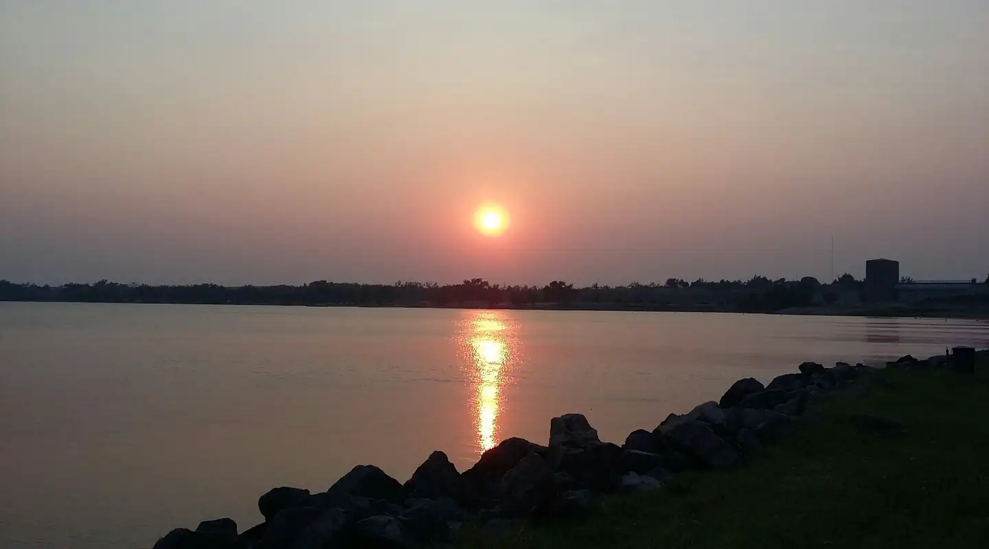
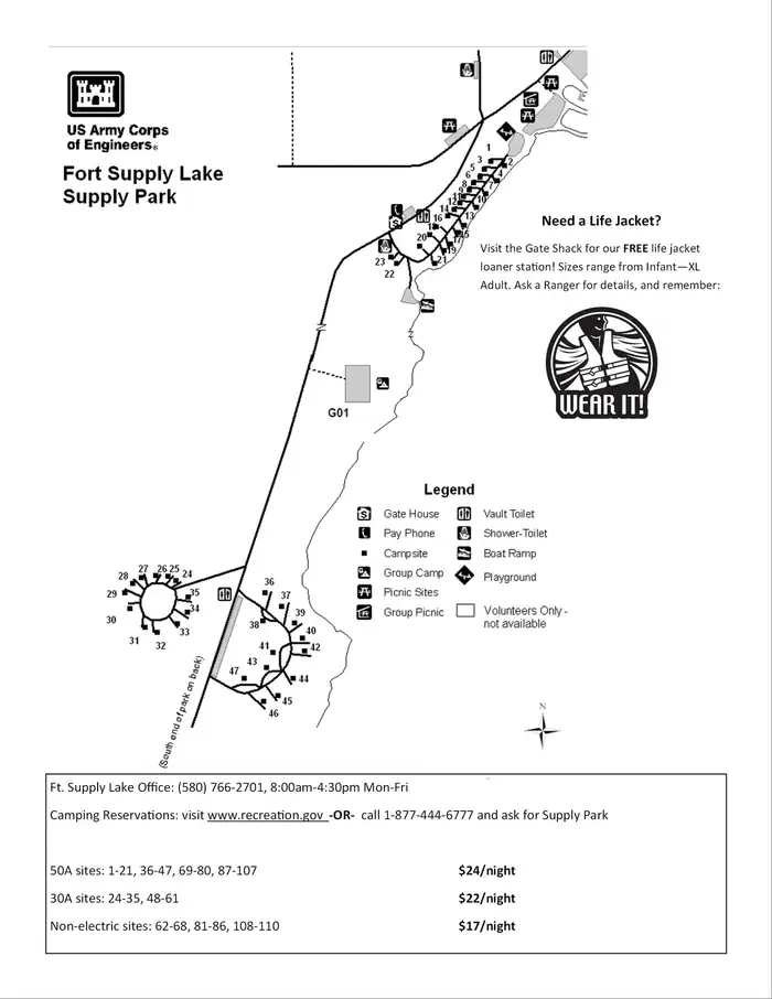
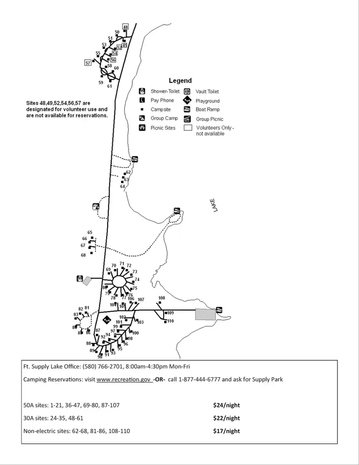
Overview Supply Park sits along the pristine shores of Fort Supply Lake, where fishing, swimming and boating are popular pastimes. Recreation Fishing opportunities abound with catches like crappie, walleye, white bass, hybrid bass, channel catfish and flathead catfish. Hunters enjoy the 6,000 acres of land populated by bobwhite quail, deer, pheasants and rabbits. The campground provides a sandy beach, boat ramp and fishing pier for visitors to enjoy the lake. Facilities Supply Park offers 110 campsites, most with electric hookups, that range from $17-$24 per night, one large group camping shelter with eight associated campsites for $176 per night, and one reservable group day use pavilion for $36 per day. Other amenities include a boat launch, dump stations, accessible fishing piers, hot showers, group camping and picnic areas and two playgrounds. Natural Features Supply Park is set along the western shores of the lake in northwest Oklahoma. Sand dunes line the east side of the lake, and the vast, 1,800-acre lake has an average depth of eight feet. Nearby Attractions Stop by the Fort Supply Historic Site, the Pioneer Museum and Art Center in Woodward, and Boiling Springs State Park. Contact Info For facility specific information, please call (580) 766-2701.
From the managing agency.
Is SUPPLY PARK free?
We do not have a fee on record for SUPPLY PARK. Confirm the cost locally before you go.
How do I get to SUPPLY PARK?
SUPPLY PARK is at 36.5493, -99.5759. We do not hold written directions for this one, so navigate to the coordinates.
Nearby
No other services within 50 mi on the record.
SourceSource data is agency published. Last synced September 19, 2026. Community reports and photos are submitted by travelers and are not verified by the agency.
