
Beaver Point
Campground · Fee not listed
Fast facts
- Cost
- Not listed. Check locally.
- Type
- Campground
- Phone
- 580-766-2701
- Coordinates
- 36.5436, -99.5537
- Last verified
- September 19, 2026
About this place
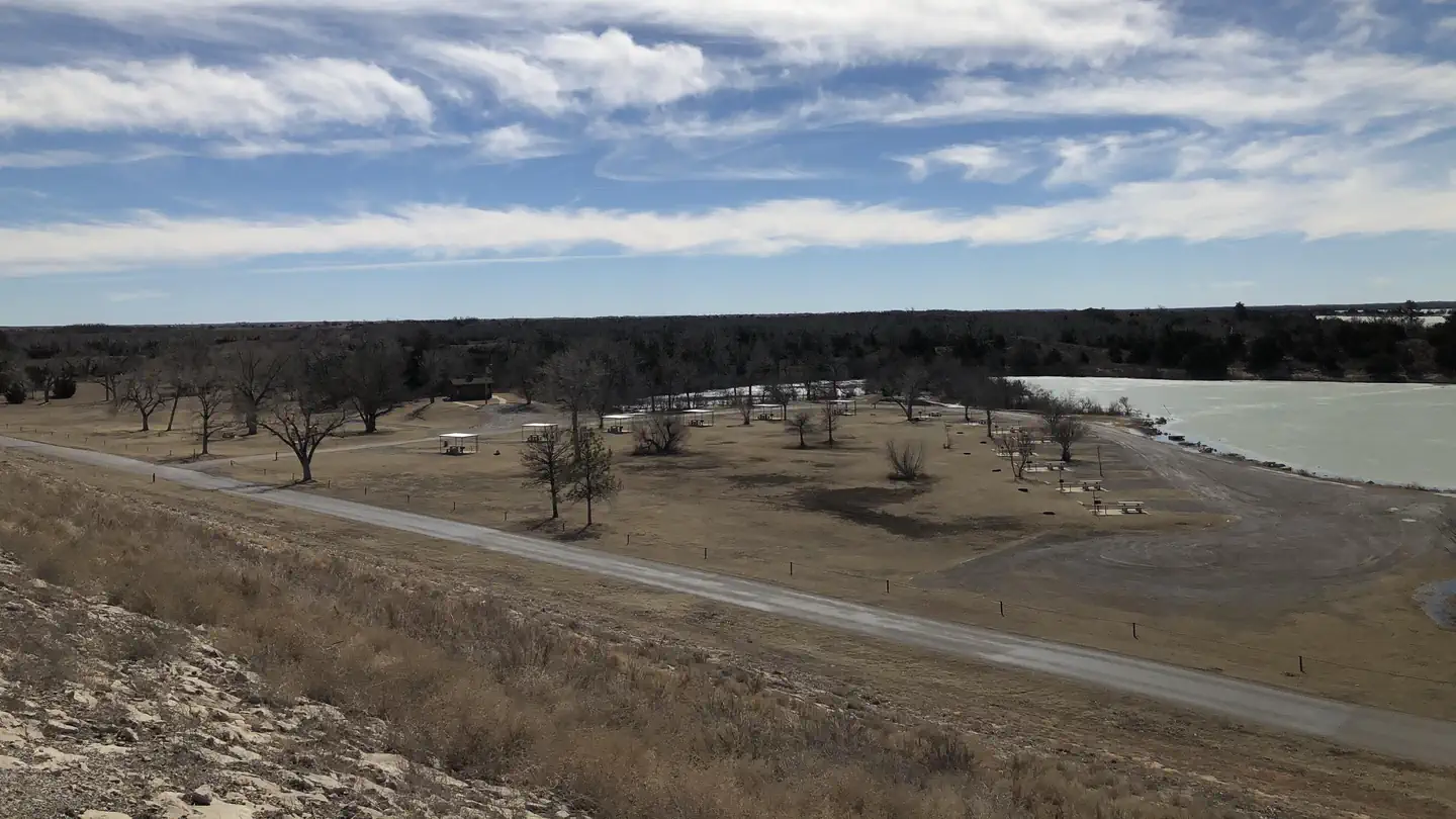
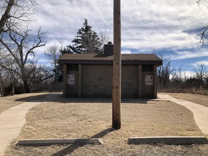
Overview Beaver Point Campground is situated along the eastern banks of Fort Supply Lake in Northwest Oklahoma. The campground is great for anyone who wants a campsite at a lower price and doesn't need electric and water hook-ups. Campsites are available on a first-come, first-serve basis only. Visitors are required to physically arrive at the campground to purchase and claim a site. Once you claim a site, you can pay for your campsite(s) by scanning our QR code using the Recreation.gov mobile app on a smartphone device. We recommend you download the free Recreation.gov mobile app on Android or iOS prior to your arrival as some remote areas may have limited or no cellular service. Scan & Pay available using the Recreation.gov mobile app (Android and iOS). Recreation Fishing opportunities abound with catches like crappie, walleye, white bass, hybrid bass, channel catfish and flathead catfish. Hunters enjoy the 6,000 acres of land populated by bobwhite quail, deer, pheasants, and rabbits. The campground provides a boat ramp, and a swimming beach is available just down the road. Facilities Beaver Point offers 16 campsites. Other amenities include a vault restroom and boat ramp. Natural Features Beaver Point is set along the eastern shores of the lake in northwest Oklahoma. Sand dunes line the shores and the vast, 1,800-acre lake has an average depth of eight feet. Nearby Attractions Stop by the Fort Supply Historic Site, the Pioneer Museum and Art Center in Woodward, and Boiling Springs State Park.
From the managing agency.
Is Beaver Point free?
We do not have a fee on record for Beaver Point. Confirm the cost locally before you go.
How do I get to Beaver Point?
Beaver Point is at 36.5436, -99.5537. We do not hold written directions for this one, so navigate to the coordinates.
Nearby
No other services within 50 mi on the record.
SourceSource data is agency published. Last synced September 19, 2026. Community reports and photos are submitted by travelers and are not verified by the agency.
