
Kanza View
Campground · Fee not listed
Fast facts
- Cost
- Not listed. Check locally.
- Type
- Campground
- Phone
- (620) 767-5195
- Coordinates
- 38.6865, -96.4922
- Last verified
- September 19, 2026

About this place
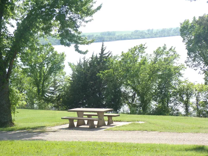
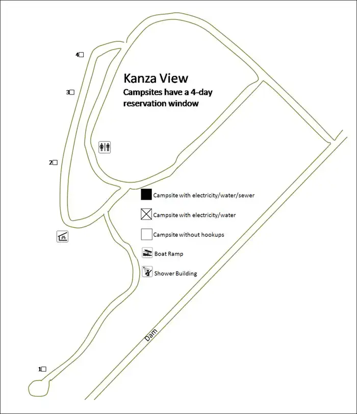
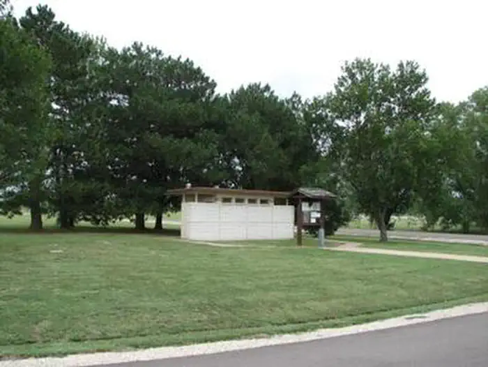
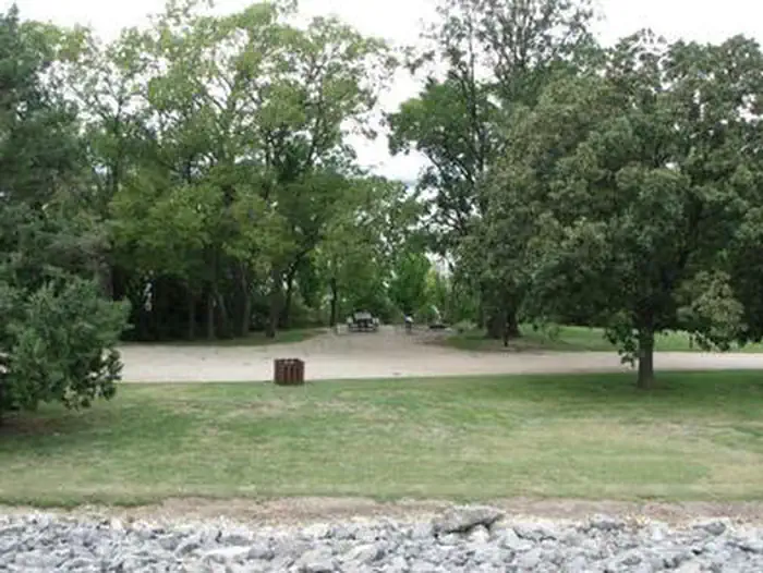
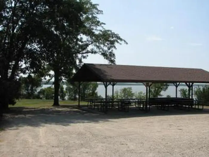
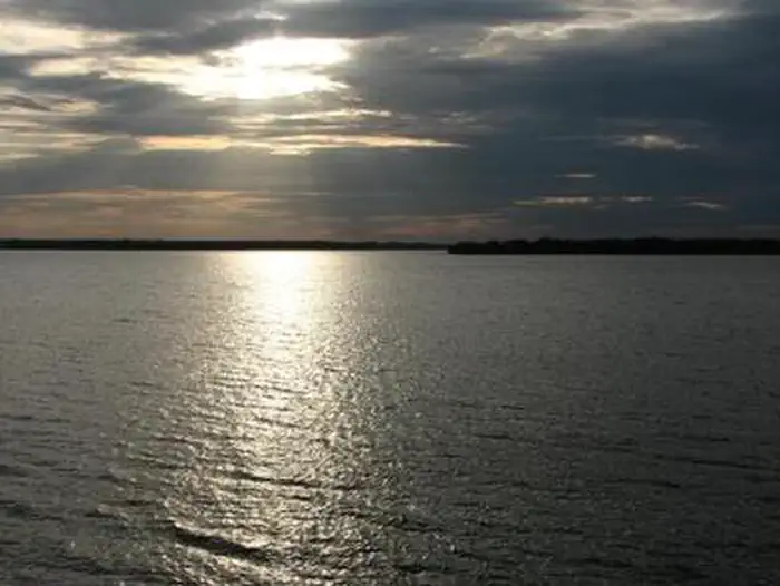
Overview Kanza View Picnic Shelter is located at the east end of Council Grove Dam just off Kansas Highway 177. It offers some of the most scenic views of the lake. Recreation Although Council Grove Lake has excellent fishing and boating opportunities, access to the water limits these activities at Kanza View. Picnicking and tent camping at Kanza View's primitive sites are this location's primary activities. Facilities Kanza View offers five undeveloped campsites most suitable for tent camping. The roofed day-use picnic pavilion has six picnic tables seating 40 people. The picnic pavillion is the only facility that may be reserved in advance. There is no electricity. A single water hydrant for shared use is located near the pavillion. Bathroom facilities are masonary vault toilets. Natural Features The park sits on top of a hill adjacent to the lake offering breathtaking lake views. Although the park has many open grassy areas interspersed with large Cottonwood and Oak trees, access to the lake is limited due to the steep, rocky terrain. Nearby Attractions Multiple developed campgrounds surround Council Grove Lake in the near vicinity. The town of Council Grove affords an array of historic sites and the Tallgrass Prairie National Preserve is 18 miles south on Highway 177.
From the managing agency.
Is Kanza View free?
We do not have a fee on record for Kanza View. Confirm the cost locally before you go.
How do I get to Kanza View?
Kanza View is at 38.6865, -96.4922. We do not hold written directions for this one, so navigate to the coordinates.
Nearby
- Kit Carson0.6 mi
- RICHEY COVE1.1 mi
- Neosho Park1.3 mi
- North Richey Cove1.5 mi
- SANTA FE TRAIL1.8 mi
- CANNING CREEK2.5 mi
- EAST ROLLING HILLS PARK (KS)34.3 mi
- OUTLET PARK (KS)34.5 mi
No other services within 50 mi on the record.
SourceSource data is agency published. Last synced September 19, 2026. Community reports and photos are submitted by travelers and are not verified by the agency.
