
COTTONWOOD POINT
Campground · Fee not listed
Fast facts
- Cost
- Not listed. Check locally.
- Type
- Campground
- Phone
- 620-382-2101
- Coordinates
- 38.3889, -97.0889
- Last verified
- September 19, 2026

About this place
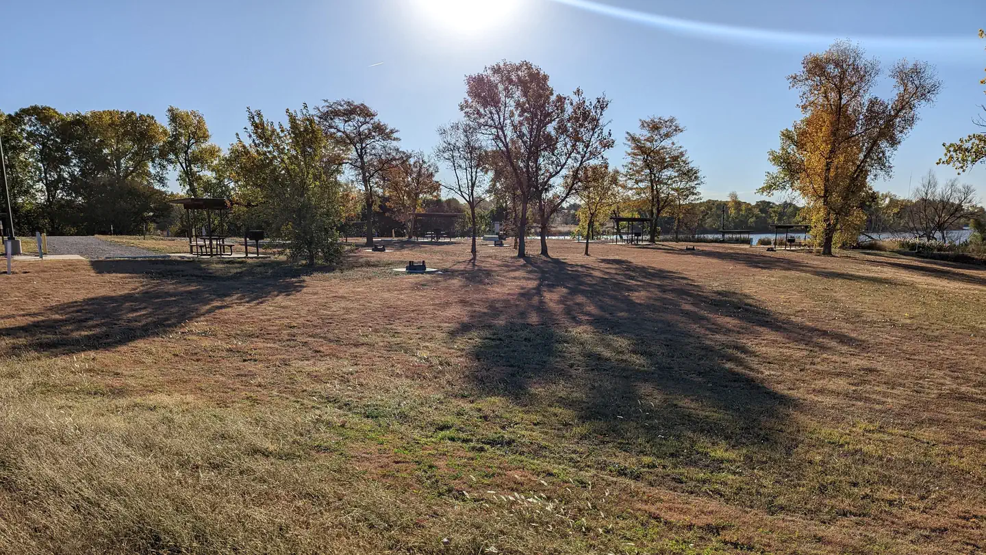
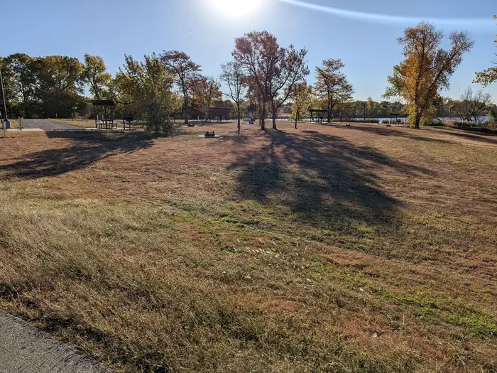
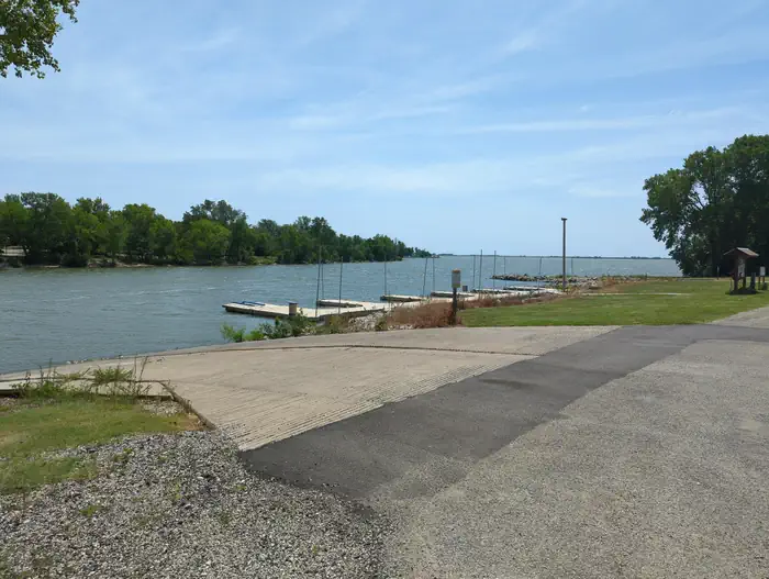
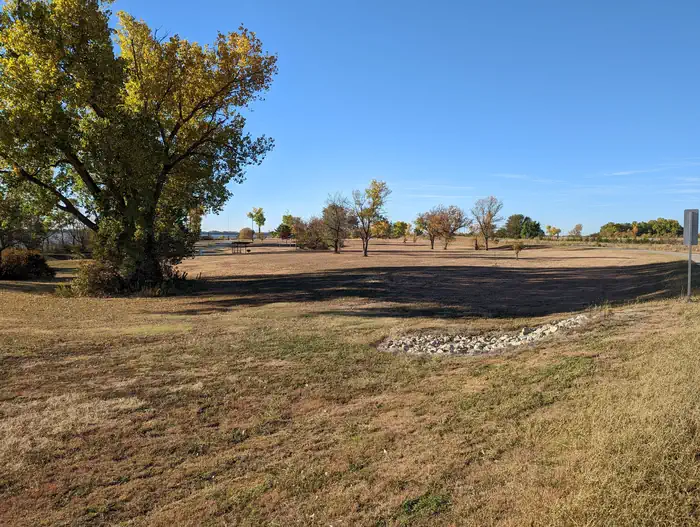
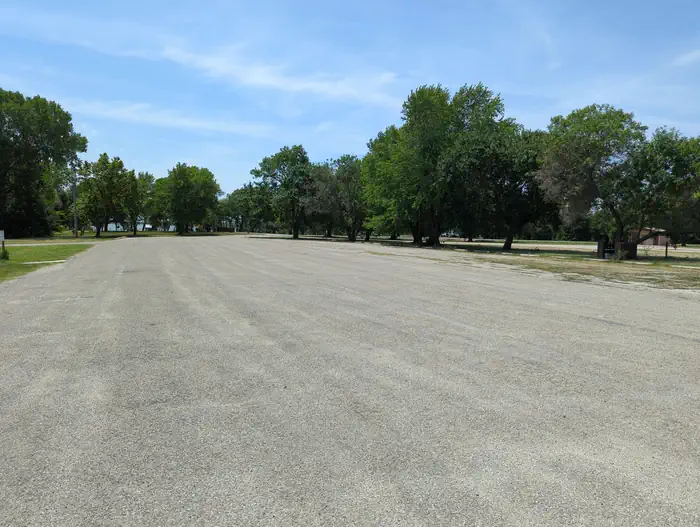
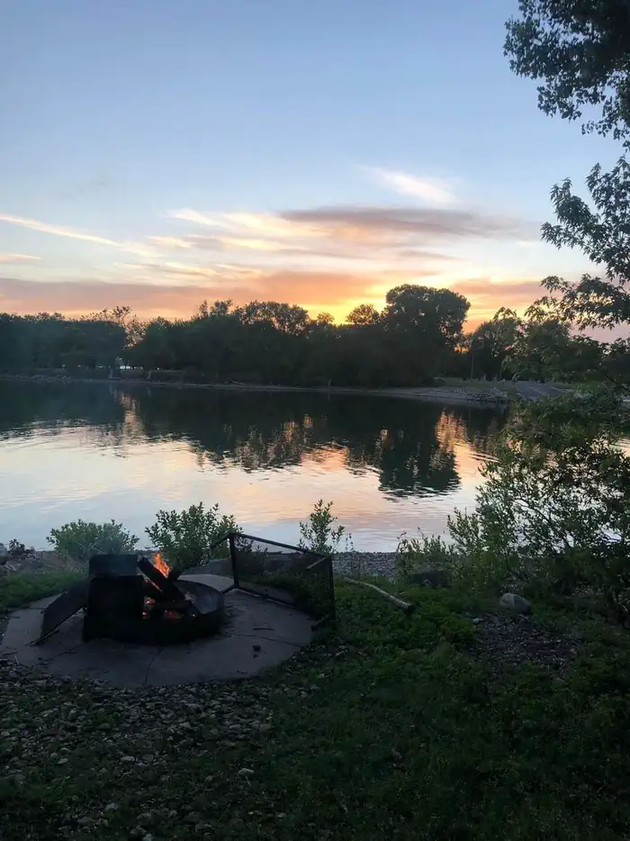
Overview Cottonwood Point is a spacious and shady campground located on the shores of Marion Reservoir. This Kansas getaway draws in thousands of visitors annually to enjoy the pristine lake shoreline and surrounding canopy of forest. Recreation Popular activities include camping, boating, fishing and hunting. Numerous hiking and biking trails snake through the forest around the lake, and the The Willow Walk Nature Trail is especially popular for wildlife enthusiasts. Campers are likely to spot white-tailed deer, pelicans, raccoons and various other waterfowl. Anglers will find an abundance of channel catfish, walleye, white bass and wipers, and a boat ramp is provided at the campground for convenient access to the lake. Facilities The campground offers 164 individual sites, along with two group camping areas and two group day use picnic shelters. Campsites offer plenty of shade and include picnic areas with grills and tables. Electrical pedestals are either 50 or 30 amp. Every 50 amp pedestal has 50/30/20 outlets available. All 30 amp pedestals have 30/20 outlets available. The 20 amp outlets are typical residential 110 Volt wall outlets. Additionally you will find two boat ramps between sites 62 and 67. Natural Features Completed in 1968, Marion Reservoir encompasses 6,200 acres of water surrounded by 6,000 acres of public lands. The surrounding expanse of forest provides visitors with endless recreational activities, set against the backdrop of the sparkling lake. Nearby Attractions The nearby communities of Hillsboro and Marion offer additional tourist attractions. Both cities have a nationally recognized Art and Crafts show, as well as a variety of restaurants and shops.
From the managing agency.
Is COTTONWOOD POINT free?
We do not have a fee on record for COTTONWOOD POINT. Confirm the cost locally before you go.
How do I get to COTTONWOOD POINT?
COTTONWOOD POINT is at 38.3889, -97.0889. We do not hold written directions for this one, so navigate to the coordinates.
Nearby
- Marion Cove 0.9 mi
- HILLSBORO COVE1.9 mi
- French Creek 3.4 mi
- CANNING CREEK36.5 mi
- SANTA FE TRAIL36.6 mi
- Neosho Park37.0 mi
- Kanza View38.3 mi
- Kit Carson38.4 mi
No other services within 50 mi on the record.
SourceSource data is agency published. Last synced September 19, 2026. Community reports and photos are submitted by travelers and are not verified by the agency.
