
South Skookum Lake
Campground · Fee not listed
Fast facts
- Cost
- Not listed. Check locally.
- Type
- Campground
- Phone
- 435-245-6521
- Coordinates
- 48.3938, -117.1857
- Last verified
- September 19, 2026
About this place
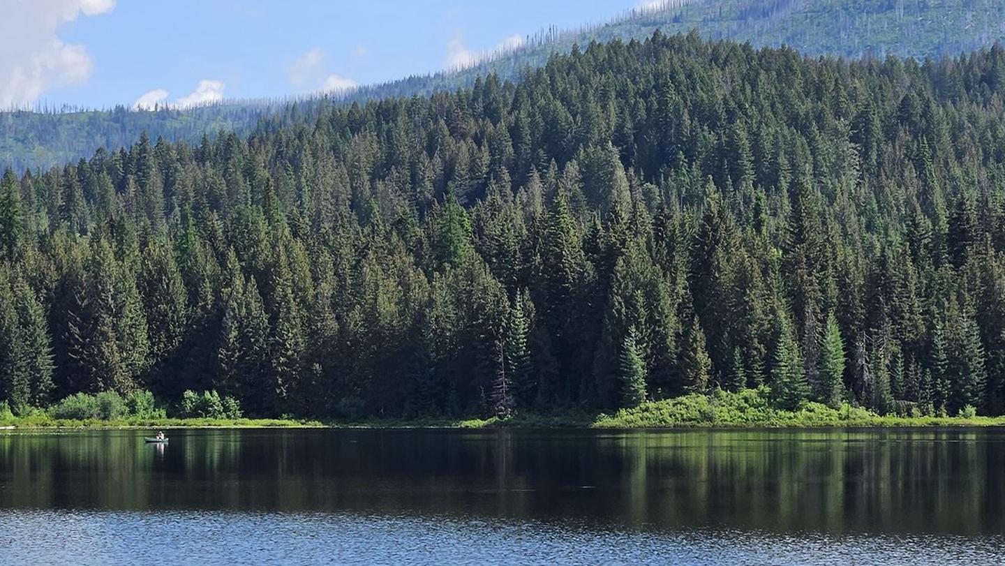
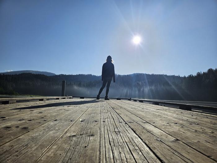
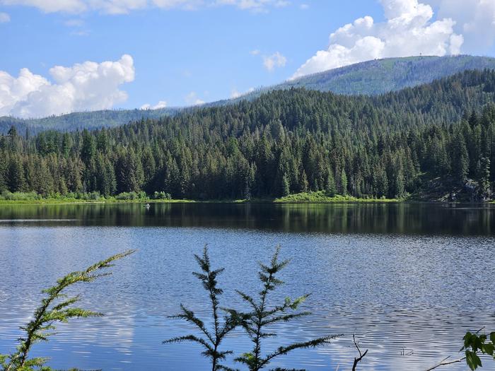
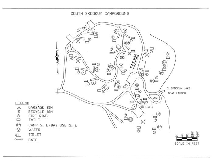
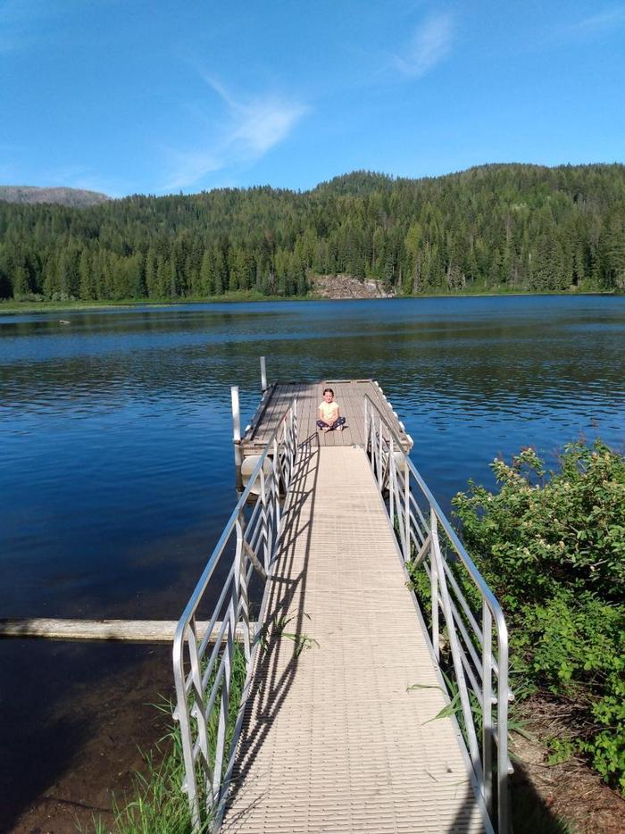
Overview South Skookum Lake Campground is a beautiful campground situated next to South Skookum Lake. It is heavily forested and plenty of shade and seclusion from other campers. The lake is relatively small and is not suitable for boats exceeding 20 feet. The boat ramp is small and unimproved. Two docks, one of which is accessible, are located near the launch area and provide fishing opportunities. South Baldy lookout, which is still staffed during the summer months, is visible from the campground and is a popular day trip. Recreation Camping, fishing, bicycling, hiking, kayaking, paddleboarding, & swimming make this a favorable place to visit. Facilities Each site has a table and fire ring. The campground has vault toilets, drinking water, animal resistant garbage containers, and animal resistant food storage boxes. No place to fill recreational vehicles only water jugs so be prepared to come with your rig full prior to arriving. Natural Features A beautiful forested landscape with South Skookum Lake beside it. Most of the campground looks into the Colville National Forest and the lake can only be seen once you crest a small hill which overlooks the lake. Nearby Attractions South Baldy lookout, which is still staffed during the summer months, is visible from the campground and is a popular day trip.
From the managing agency.
Is South Skookum Lake free?
We do not have a fee on record for South Skookum Lake. Confirm the cost locally before you go.
How do I get to South Skookum Lake?
South Skookum Lake is at 48.3938, -117.1857. We do not hold written directions for this one, so navigate to the coordinates.
Nearby
- South Skookum Lake Campground0.0 mi
- Browns Lake Campground3.0 mi
- Cooks Lake Campground3.6 mi
- Mystic Lake Campground5.1 mi
- No Name Lake Campground7.1 mi
- Panhandle Campground8.9 mi
- PANHANDLE8.9 mi
- PIONEER PARK13.8 mi
No other services within 50 mi on the record.
SourceSource data is agency published. Last synced September 19, 2026. Community reports and photos are submitted by travelers and are not verified by the agency.
