
PANHANDLE
Campground · Fee not listed
Fast facts
- Cost
- Not listed. Check locally.
- Type
- Campground
- Phone
- 509-447-7300
- Coordinates
- 48.5100, -117.2714
- Last verified
- September 19, 2026
About this place
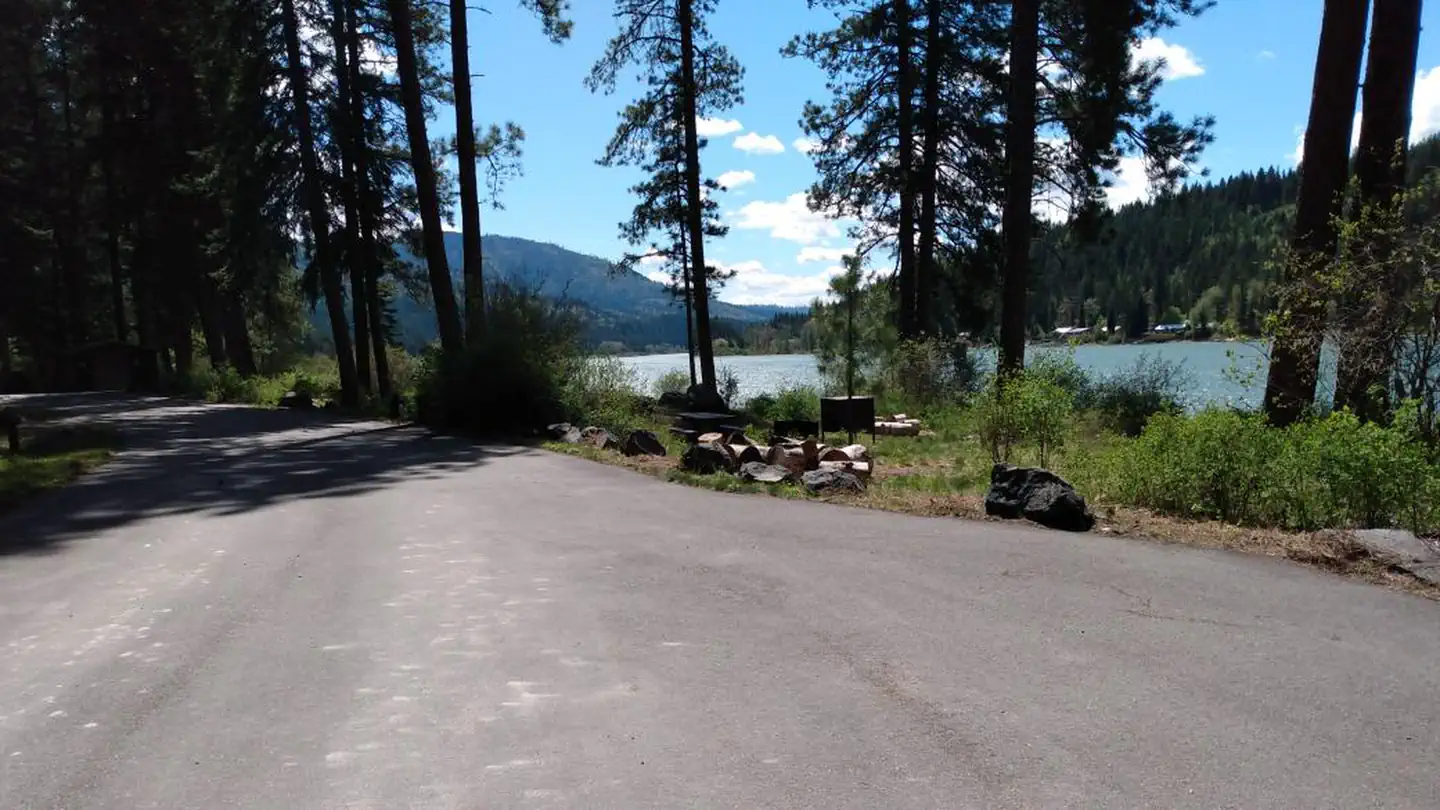
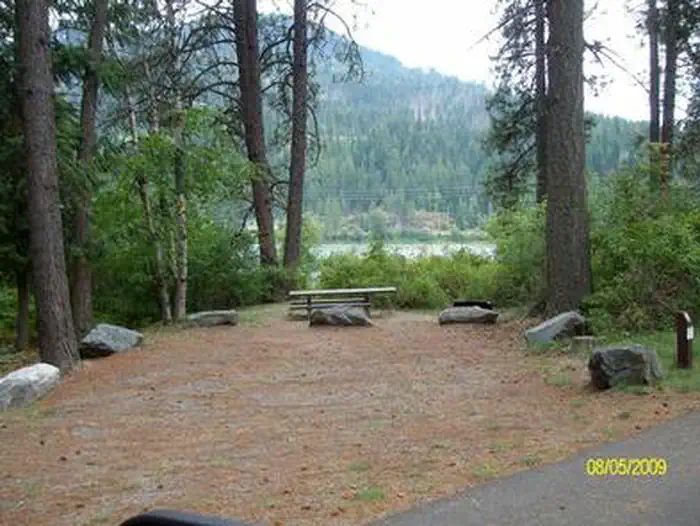
Overview Panhandle Campground is set in a heavily forested area on the Pend Oreille River in northeast Washington. This small campground offers sites with views of the river, plus a swimming area right along the campground. Recreation Canoeing and birding are popular activities. Small wetlands areas lie on the south end of the campground, attracting an abundance of birds. Excellent fishing opportunities for bass and trout exist in the river as well. Power boating and water skiing are possible on the wide, deep Pend Oreille River. Boating speeds are limited to 35 mph. A boat ramp is located on-site. Facilities Sites are suitable for tents and large RVs. Most sites are private and all are within a short walk of the river. Drinking water, vault toilets and picnic tables are among the campground's amenities. Natural Features The campground stretches along the east bank of the Pend Oreille River. A thick middlestory offers good privacy between campsites. The Pend Oreille River flows north for about 130 miles into Canada and merges with the Columbia River. The beautiful mountains and valleys were shaped by glaciers in the Ice Age. The Colville National Forest encompasses 1.1 million acres in the northeast corner of Washington State. The forest's great salmon runs first attracted Native Americans to the area, then miners, homesteaders and fur trappers. Its variety of resources and natural beauty continues to attract visitors today. Nearby Attractions Cruise the forest roads within a 30-mile radius and find an abundance of scenic overlooks and chances to see wildlife.
From the managing agency.
Is PANHANDLE free?
We do not have a fee on record for PANHANDLE. Confirm the cost locally before you go.
How do I get to PANHANDLE?
PANHANDLE is at 48.5100, -117.2714. We do not hold written directions for this one, so navigate to the coordinates.
Nearby
- Panhandle Campground0.1 mi
- Browns Lake Campground6.2 mi
- South Skookum Lake Campground8.9 mi
- South Skookum Lake8.9 mi
- Cooks Lake Campground12.4 mi
- GILLETTE CAMPGROUND14.0 mi
- Mystic Lake Campground14.0 mi
- LAKE GILLETTE CAMPGROUND14.2 mi
No other services within 50 mi on the record.
SourceSource data is agency published. Last synced September 19, 2026. Community reports and photos are submitted by travelers and are not verified by the agency.
