
South Fork Group Site 5 - Nez Perce NF (ID)
Campground · Fee not listed
Fast facts
- Cost
- Not listed. Check locally.
- Type
- Campground
- Phone
- 208-983-1950
- Nearest dump station
- Cedar Flats Dump Station · 27.7 mi
- Coordinates
- 45.8303, -115.9719
- Last verified
- September 19, 2026
About this place
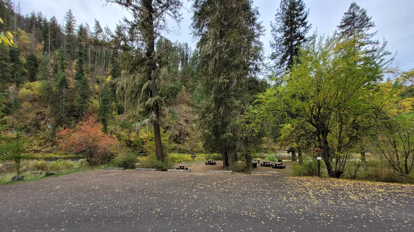
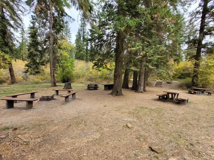
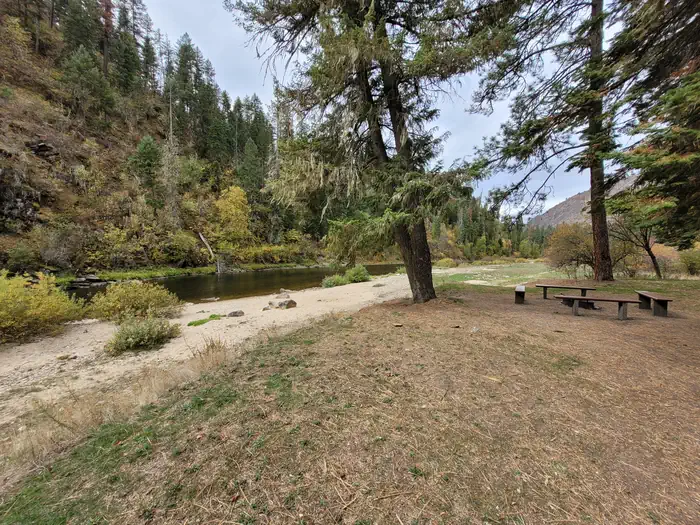
Overview South Fork Campground is nestled along the South Fork of Clearwater River. All standard sites are first-come, first-served, but a group site that can accommodate up to 25 people is available for reservations. South Fork Campground is well-suited to moderately-sized RVs. An abundance of recreational activities and scenic attractions are in the area. Recreation Anglers can fish for trout, steelhead and salmon in the Clearwater River. Berry picking is popular in season. Facilities Each campsite has a picnic table, grill, tent pad and paved parking spur. Vault toilets are provided. Drinking water is available during the peak season only. A camp host may be on-site during the summer. Natural Features In the heart of north central Idaho, rugged peaks, deep canyons, dense forests and remote wilderness comprise the Nez Perce National Forest. Due in large part to dramatic elevational differences, the forest supports a wide variety of vegetation, from cedar groves to desert ecosystems. South Fork Campground is located in the Highway 14 Corridor. This area features forested canyons with sections of rugged granite outcroppings, as well as gently sloping lodgepole pine-covered uplands and lush wildflower meadows. Nearby Attractions The campground's proximity to Highway 14 makes it easy to do a scenic drive. This picturesque route winds through changing landscapes and historic areas.
From the managing agency.
Is this site free?
We do not have a fee on record for this site. Confirm the cost locally before you go.
How do I get to this site?
this site is at 45.8303, -115.9719. We do not hold written directions for this one, so navigate to the coordinates.
Nearby
SourceSource data is agency published. Last synced September 19, 2026. Community reports and photos are submitted by travelers and are not verified by the agency.
