
FISH CREEK PAVILION
USFS · Campground · Fee
Fast facts
- Cost
- Fee charged
- Managed by
- USFS
- Type
- Campground
- Reservations
- recreation.gov
- Phone
- 208-983-1950
- Nearest dump station
- Cedar Flats Dump Station · 30.8 mi
- Coordinates
- 45.8578, -116.0817
- Last verified
- September 19, 2026
About this place
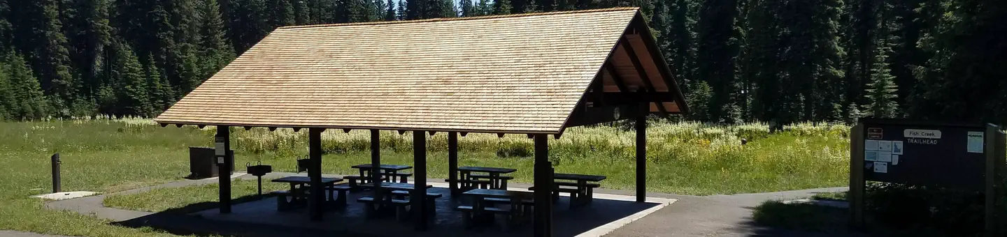
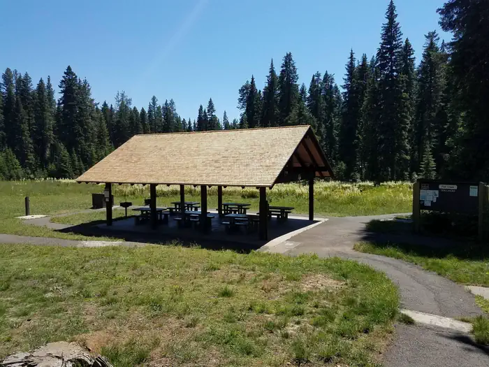
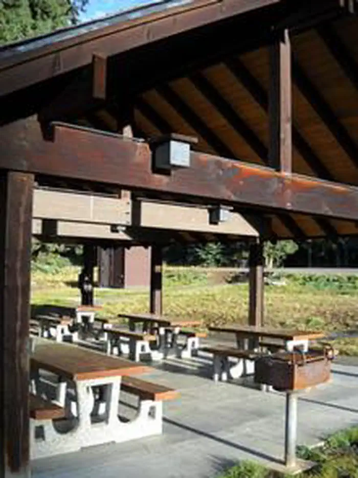
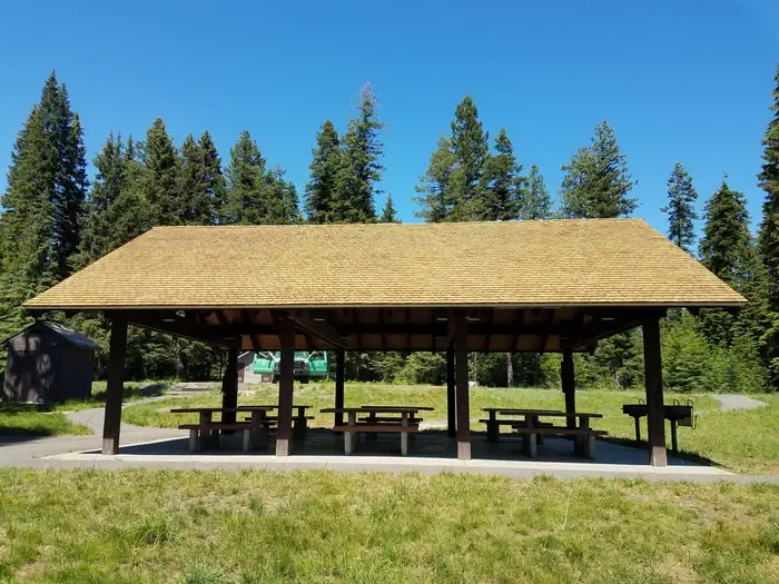
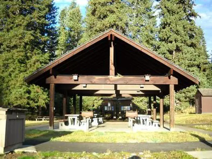
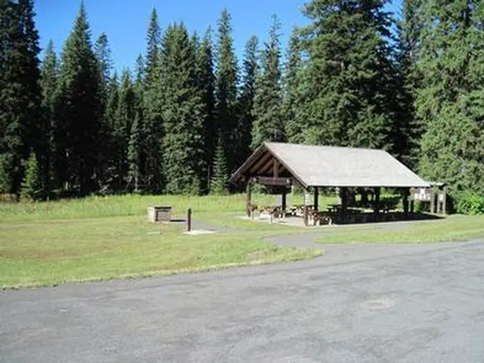
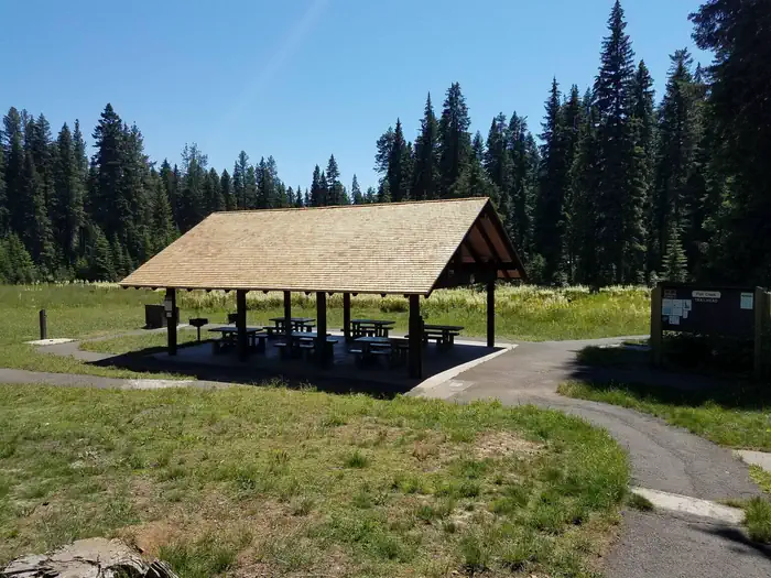
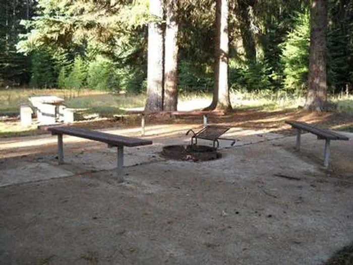
Overview Fish Creek Pavilion is a day-use picnic area adjacent to Fish Creek Campground. It's situated in a meadow surrounded by conifers and near a variety of recreational activities. Recreation The Fish Creek Cross Country Trail begins within the adjacent campground. This 7-mile multi-use loop is open to hikers, mountain bikers, horseback riders and off-road vehicle enthusiasts. Hikers will find additional foot trails as well. Visitors who wish to camp can stay at Fish Creek Campground, which has first-come, first-served sites. Groups can reserve the Fish Creek Group Site about 2 miles down the road. Facilities The accessible pavilion can accommodate up to 75 people. Eight picnic tables, two barbecue grills, electricity and lights are provided. Drinking water is available from June 15 to September 15. A short paved path leads to additional picnic tables and campfire circle with benches. Natural Features In the heart of north central Idaho, rugged peaks, deep canyons, dense forests and remote wilderness comprise the Nez Perce National Forest. Due in large part to dramatic elevational differences, the forest supports a wide variety of vegetation, from cedar groves to desert ecosystems. Fish Creek Pavilion is located in the Salmon River/Highway 95 Corridor. The landscape here varies from the emerald Salmon River pouring through steep canyon walls to sapphire Moore's Lake in the remote Gospel-Hump Wilderness. Nearby Attractions Grangeville is the nearest town. It offers camping supplies and a historical museum.
From the USFS.Official page
Is FISH CREEK PAVILION free?
No. FISH CREEK PAVILION charges a fee. It is managed by the USFS. Sites are reservable through recreation.gov.
How do I get to FISH CREEK PAVILION?
FISH CREEK PAVILION is at 45.8578, -116.0817. We do not hold written directions for this one, so navigate to the coordinates.
Nearby
SourceData from the USFS. Last synced September 19, 2026. Community reports and photos are submitted by travelers and are not verified by the agency.
