
Lake Fork
Campground · Fee not listed
Fast facts
- Cost
- Not listed. Check locally.
- Type
- Campground
- Phone
- N/A
- Nearest dump station
- Red River Rv Dump · 61.7 mi
- Coordinates
- 44.9232, -115.9463
- Last verified
- September 19, 2026
About this place
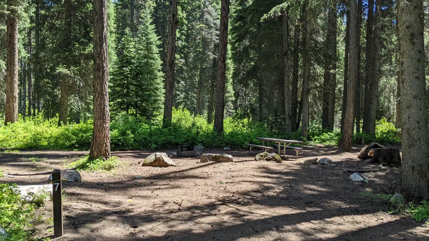
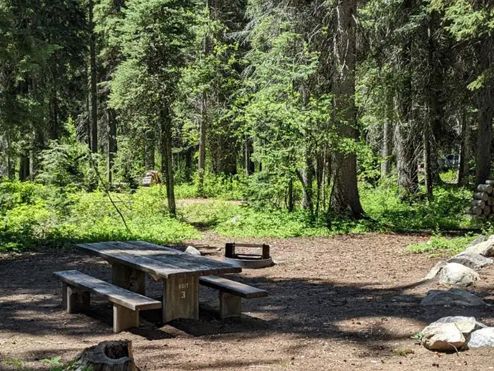
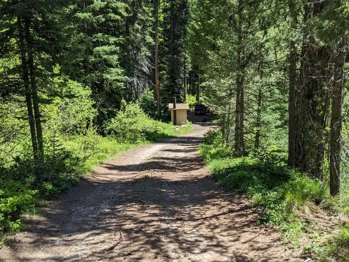
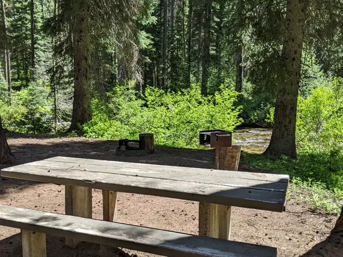
Overview This campground features nine sites along the North Fork of Lake Fork Creek. All sites are available on a first come, first serve basis. This location is available on a first-come, first-served basis only. Visitors are required to physically arrive at the campground to purchase and claim a site. Once on-site, you may be able to pay for your campsite(s) by scanning a QR code using the Recreation.gov mobile app, and the Scan and Pay feature. If this option is available, you will need to first download the free Recreation.gov mobile app https://www.recreation.gov/mobile-app prior to your arrival as some remote areas have limited or no cellular service. Recreation This is a beautiful campground and a great base camp for adventure. From the campground, trails head east, branching north and south into pristine mountain areas: East Fork Lake Fork Creek Trail #104, Lake Fork First Bridge Trail #339, and Paddy Flat/Lake Fork Creek Trail #103. There are many points of interest and trailheads if you continue along Lick Creek Road. Nearby is Slick Rock-Climbing area, a stunning exposed granite wall. Popular hiking areas include, Box Lake, Snowslide Lake, and Duck Lake. Drive to Lick Creek Summit (6,879 ft.) for 360-degree views of the Salmon River Mountains. Facilities This campground features nine sites along the North Fork of Lake Fork Creek. Each site has a fire ring, charcoal grill, and a picnic table. All sites are available on a first come, first serve basis. There are two vault toilets and drinking water is centrally located. There are no hookups and no trash receptacles; please pack out your trash. Natural Features Forested campground near a creek at approximately 5,329 feet elevation.
From the managing agency.
Is Lake Fork free?
We do not have a fee on record for Lake Fork. Confirm the cost locally before you go.
How do I get to Lake Fork?
Lake Fork is at 44.9232, -115.9463. We do not hold written directions for this one, so navigate to the coordinates.
Nearby
SourceSource data is agency published. Last synced September 19, 2026. Community reports and photos are submitted by travelers and are not verified by the agency.
