
HOT SPRINGS
Campground · Fee
Fast facts
- Cost
- Fee charged
- Type
- Campground
- Phone
- 541-351-1182
- Nearest dump station
- Redfish RV Dump Site · 50.1 mi
- Coordinates
- 44.0617, -115.9178
- Last verified
- September 19, 2026
About this place
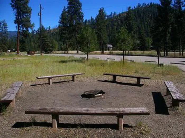
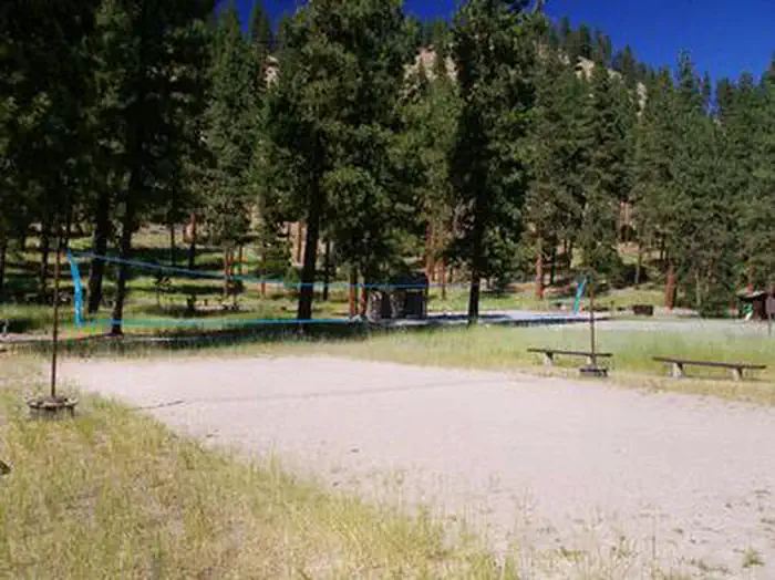
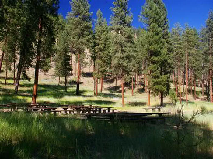
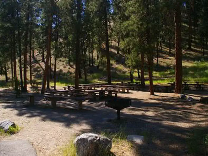
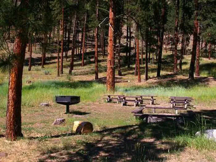
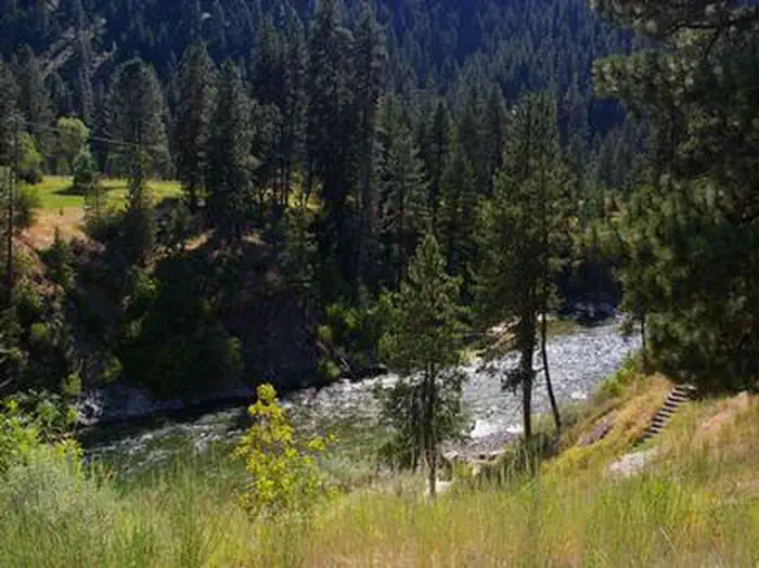
Overview Hot Springs Campground is located just east of Garden Valley, Idaho along the Banks-Lowman Highway at an elevation of 3169 feet. Visitors enjoy rafting, kayaking, fishing on the South Fork Payette River, and soaking in the hot springs at the river's edge. Recreation The South Fork Payette River is across the road from the campground, offering fishing, whitewater rafting, and kayaking. A natural hot springs soaking pool is located on the river directly across the road and down a staircase. Facilities The campground contains three accessible group sites with picnic and serving tables, grills and campfire circles with benches. Sites 1 and 2 can accommodate up to 200 people each; Site 3 can accommodate up to 50 people. Vault toilets, drinking water and trash collection are provided. Because of its proximity to the highway, some noise from passing traffic is to be expected. Natural Features The campground is situated at the foot of a forested hillside. Towering Ponderosa pines are scattered throughout the site, offering partial shade. Summer wildflowers dot the landscape. Nearby Attractions Numerous natural hot springs pools can be found along the Banks-Lowman Highway, also known as the Wildlife Canyon Scenic Byway. The area offers scenic views, wildlife watching, historical information kiosks, and several hiking opportunities. Whitewater rafting and kayaking are popular activities on the South Fork and Main Payette Rivers. Several companies in the area offer guided half and full-day trips.
From the managing agency.
Is HOT SPRINGS free?
No. HOT SPRINGS charges a fee.
How do I get to HOT SPRINGS?
HOT SPRINGS is at 44.0617, -115.9178. We do not hold written directions for this one, so navigate to the coordinates.
Nearby
SourceSource data is agency published. Last synced September 19, 2026. Community reports and photos are submitted by travelers and are not verified by the agency.
