
SWINGING BRIDGE
USFS · Campground · Fee
Fast facts
- Cost
- Fee charged
- Managed by
- USFS
- Type
- Campground
- Reservations
- recreation.gov
- Phone
- 541-351-1182
- Nearest dump station
- Redfish RV Dump Site · 59.8 mi
- Coordinates
- 44.1716, -116.1210
- Last verified
- September 19, 2026

About this place
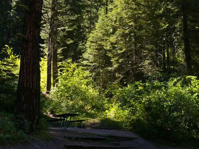
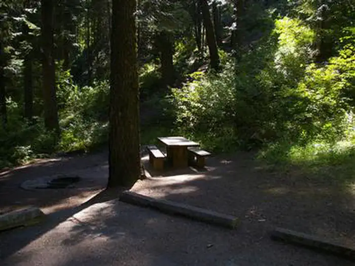
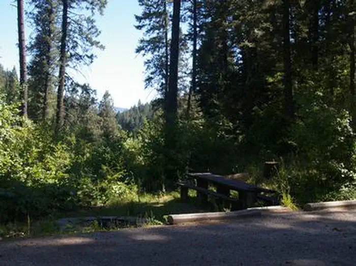
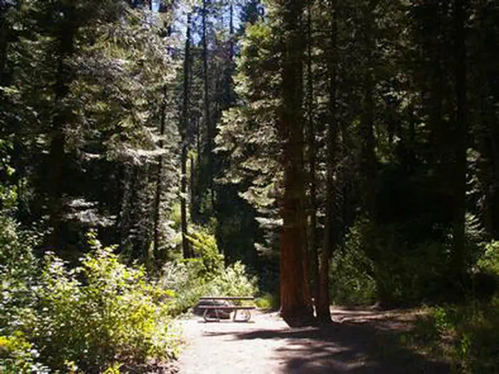
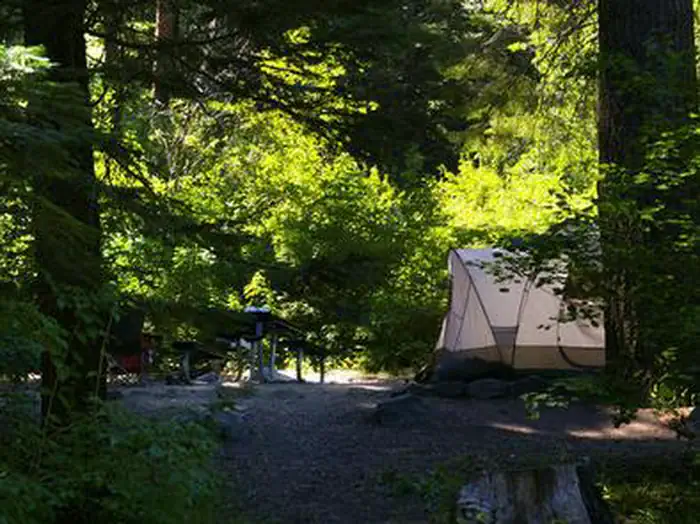
Overview Swinging Bridge Campground is located 10 miles north of Banks, Idaho just off Highway 55 at an elevation of 4,000 feet. The North Fork Payette River flows next to the highway, where extreme kayaking is a popular activity. Recreation The North Fork of the Payette River is a very popular location for expert kayaking. Whitewater rafting is nearby on the Main and South Fork sections of the Payette River. Anglers will find good to excellent fishing for whitefish and rainbow trout. Facilities The campground contains single-family sites, each with a picnic table and campfire ring. Vault toilets are provided. Roads and parking spurs are paved. Because of its proximity to the highway, some noise from passing traffic is to be expected. Natural Features The campground is situated is a scenic canyon just above Highway 55. The mountains are forested with a mix of Ponderosa and lodgepole pines and shade is plentiful within most of the campground. Summer days are warm, reaching 80-90 degrees; nights are cooler.
From the USFS.Official page
Is SWINGING BRIDGE free?
No. SWINGING BRIDGE charges a fee. It is managed by the USFS. Sites are reservable through recreation.gov.
How do I get to SWINGING BRIDGE?
SWINGING BRIDGE is at 44.1716, -116.1210. We do not hold written directions for this one, so navigate to the coordinates.
Nearby
SourceData from the USFS. Last synced September 19, 2026. Community reports and photos are submitted by travelers and are not verified by the agency.
