
CHEMEKETAN CAMPGROUND
USFS · Campground · Fee
Fast facts
- Cost
- Fee charged
- Managed by
- USFS
- Type
- Campground
- Hours
- June-September. This campground closes on September 21.
- Reservations
- recreation.gov
- Phone
- 928-537-8888
- Nearest dump station
- Smiley Creek Rv Dump Site · 2.0 mi
- Coordinates
- 43.8475, -114.7567
- Last verified
- September 19, 2026
About this place
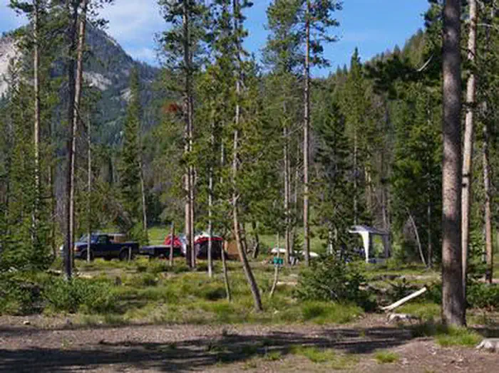
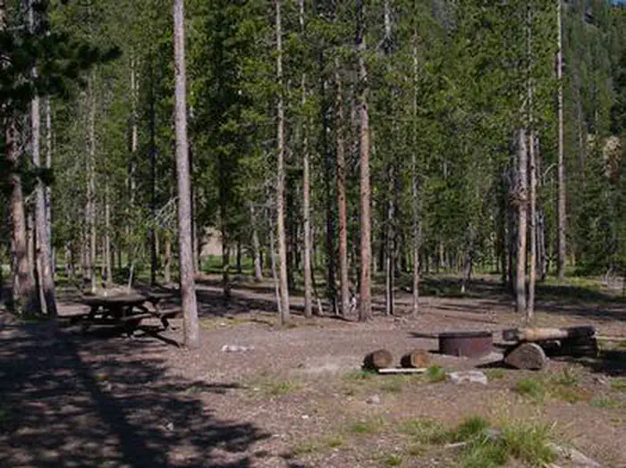
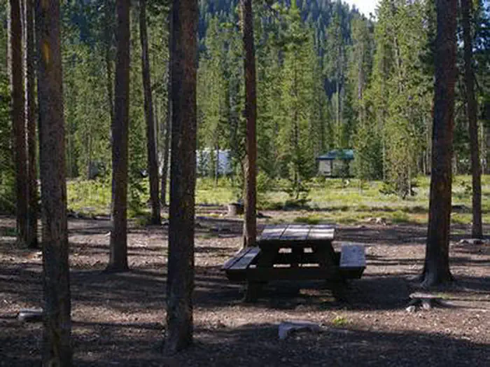
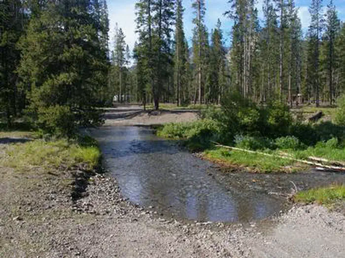
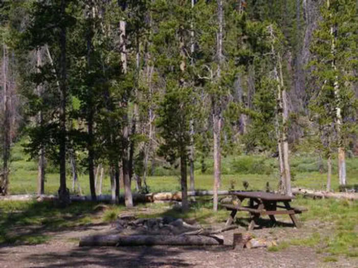
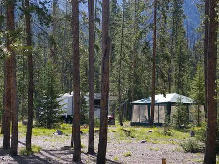
Overview Chemeketan Campground sits near the headwaters of the Salmon River, at the foot of the Sawtooth Mountain Range. Recreation This site is part of the Sawtooth National Recreation Area, where outdoor activities abound. The Salmon River offers excellent fishing for rainbow trout, westslope cutthroat trout and occasional hybrid cutbows and bull trout. The Idaho Centennial Trail can be easily accessed nearby. Alturas, Perkins, Pettit and Yellowbelly Lakes are nearby, with fishing, canoeing and hiking. Facilities This campground is reached via dirt road, however visitors must ford a stream before reaching the site. Trucks, RVs and cars with higher clearance should have no trouble crossing the stream. The campground offers one group site than can accommodate up to 150 people. If it is not reserved, it is available as a group site or individual sites on a first come, first served basis. Vault toilets, tables and grills are provided. Natural Features Chemeketan is a secluded, peaceful campground situated among lodgepole pines, which provide partial shade. Rugged peaks of the Sawtooth Range surround the area and the Salmon River flows at the campground's edge. Temperatures are cool, with an average summer high of 78 degrees and a low of 40 degrees. Nearby Attractions The Sawtooth National Recreation Area offers a myriad of excellent hiking and biking opportunities, and an estimated 750 miles of trails crisscross the valley and surrounding mountains. Popular area events include an Arts and Crafts Fair in July, and Wagon Days, Salmon Festival, Quilt Fair and Fireman's Ball in September.
From the USFS.Official page
Is CHEMEKETAN CAMPGROUND free?
No. CHEMEKETAN CAMPGROUND charges a fee. It is managed by the USFS. Sites are reservable through recreation.gov.
How do I get to CHEMEKETAN CAMPGROUND?
From Stanley, go south 23 miles on ID 75. Turn south on Forest Road #215 and go about 3 miles to the campground.
Nearby
SourceData from the USFS. Last synced September 19, 2026. Community reports and photos are submitted by travelers and are not verified by the agency.
