
ALTURAS LAKE PICNIC AREA (ID)
Campground · Fee not listed
Fast facts
- Cost
- Not listed. Check locally.
- Type
- Campground
- Phone
- 928-537-8888
- Nearest dump station
- Smiley Creek Rv Dump Site · 5.5 mi
- Coordinates
- 43.9257, -114.8508
- Last verified
- September 19, 2026

About this place
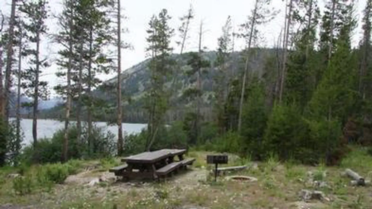
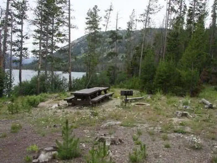
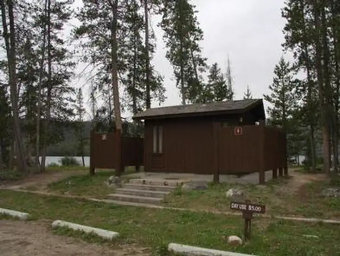
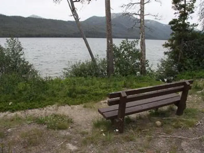
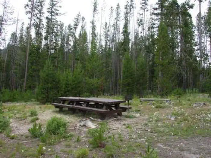
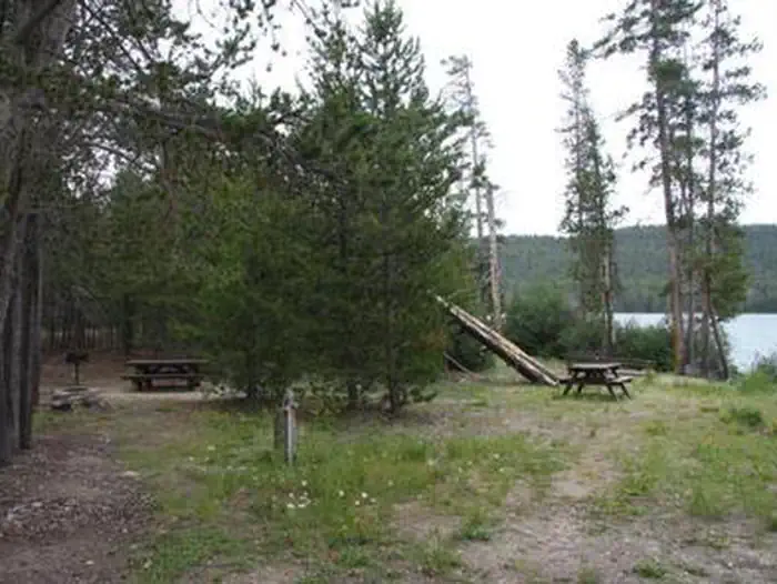
Overview Alturas Area Picnic B is located along the sandy shoreline of scenic Alturas Lake, at the foot of the Sawtooth Mountain Range. Recreation The site is part of the Sawtooth National Recreation Area, where outdoor activities abound. Alturas Lake offers excellent boating, water skiing, canoeing, kayaking and fishing for bull trout and Kokanee salmon. Alturas Creek runs through the adjacent campground. The 10-mile round trip Alpine Meadows Trail begins nearby, with spectacular canyon, meadow and alpine lake views. The trail is also a popular area for bird watching. Facilities The picnic site is a day-use area only. It offers one accessible group site that can accommodate up to 50 people. Vault toilets, drinking water and garbage service are provided. Smokey Bear Boat Ramp is less than 1/4-mile away. Natural Features Summer wildflowers are plentiful, and a mixed-growth conifer forest provides partial shade. Temperatures are cool with an average summer high of 78 degrees and a low of 40 degrees. Nearby Attractions The Sawtooth National Recreation Area offers a myriad of excellent hiking and biking opportunities, and an estimated 750 miles of trails crisscross the valley and surrounding mountains. Perkins Lake is less than 2 miles away, with excellent fishing and canoeing. Pettit and Yellowbelly Lakes are nearby with more fishing, canoeing and hiking. The Salmon River offers fishing for rainbow trout, Westslope cutthroat trout and occasional hybrid cutbows and bull trout. Popular area events include an Arts and Crafts Fair in July, and Wagon Days, Salmon Festival, Quilt Fair and Fireman's Ball in September.
From the managing agency.
Is ALTURAS LAKE PICNIC AREA (ID) free?
We do not have a fee on record for ALTURAS LAKE PICNIC AREA (ID). Confirm the cost locally before you go.
How do I get to ALTURAS LAKE PICNIC AREA (ID)?
ALTURAS LAKE PICNIC AREA (ID) is at 43.9257, -114.8508. We do not hold written directions for this one, so navigate to the coordinates.
Nearby
SourceSource data is agency published. Last synced September 19, 2026. Community reports and photos are submitted by travelers and are not verified by the agency.
