
Camp Creek
Campground · Fee not listed
Fast facts
- Cost
- Not listed. Check locally.
- Type
- Campground
- Phone
- N/A
- Nearest dump station
- Red River Rv Dump · 59.2 mi
- Coordinates
- 44.8908, -115.7079
- Last verified
- September 19, 2026
About this place
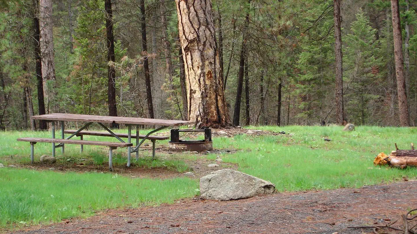
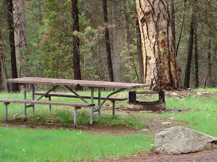
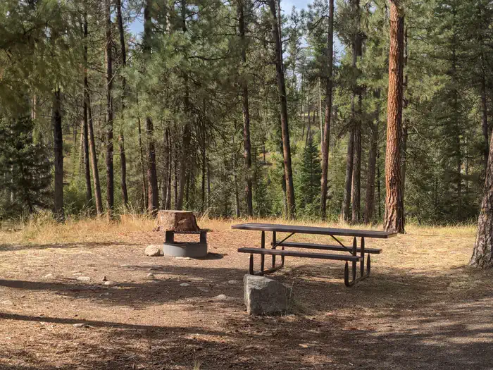
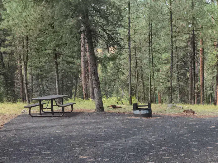
Overview This small campground (4 sites) on the South Fork Road is a hub for the nearby network of trails. Explore these ruggedly beautiful mountains in almost any direction, or try your luck fishing in the South Fork of the Salmon River. This location is available on a first-come, first-served basis only. Visitors are required to physically arrive at the campground to purchase and claim a site. Once on-site, you may be able to pay for your campsite(s) by scanning a QR code using the Recreation.gov mobile app, and the Scan and Pay feature. If this option is available, you will need to first download the free Recreation.gov mobile app https://www.recreation.gov/mobile-app prior to your arrival as some remote areas have limited or no cellular service. Recreation Camp Creek Trailhead is located at this site and is the starting point for the Pheobe Meadow Trail #291 which access Phoebe Meadows. Facilities The campground is equipped with a stock loading ramp and hitching rack. There are four campground units with tables, and fire rings. The campground has an outhouse and hiking trail access. No drinking water, no hook-ups. Please pack in/pack out. Nearby Attractions Camp Creek Campground is near the Reed Ranch airstrip or twelve miles south of the confluence of the East Fork of the South Fork of the Salmon and the South Fork Road.
From the managing agency.
Is Camp Creek free?
We do not have a fee on record for Camp Creek. Confirm the cost locally before you go.
How do I get to Camp Creek?
Camp Creek is at 44.8908, -115.7079. We do not hold written directions for this one, so navigate to the coordinates.
Nearby
SourceSource data is agency published. Last synced September 19, 2026. Community reports and photos are submitted by travelers and are not verified by the agency.
