
Toto Creek Campground
Campground · Fee not listed
Fast facts
- Cost
- Not listed. Check locally.
- Type
- Campground
- Phone
- 770-945-9531
- Nearest dump station
- North River Checking Station · 63.8 mi
- Coordinates
- 34.3949, -83.9868
- Last verified
- September 19, 2026

About this place
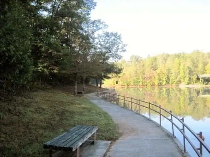
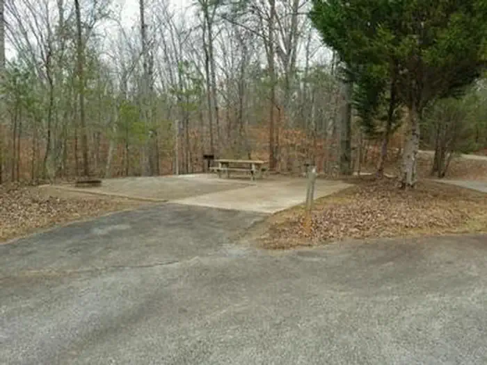
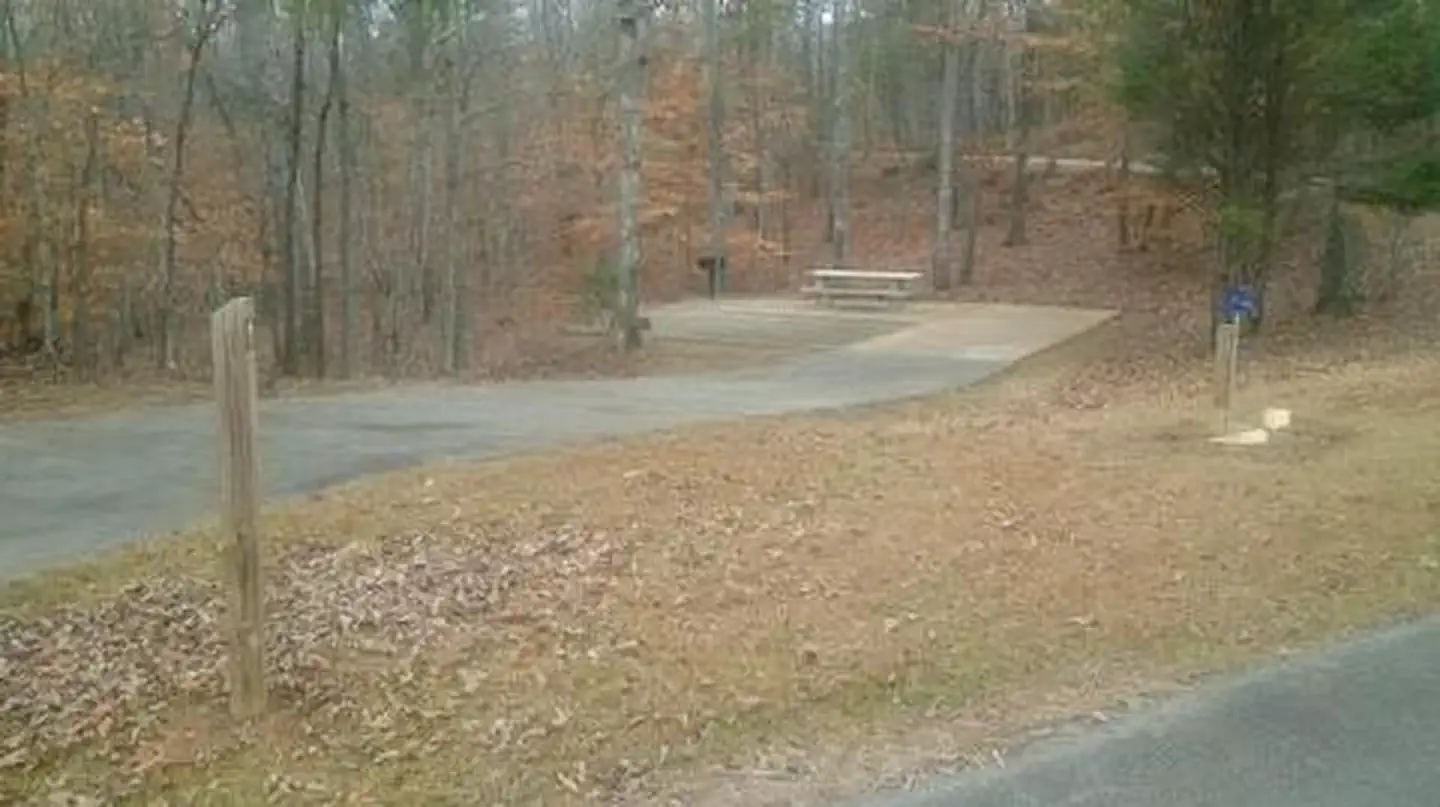
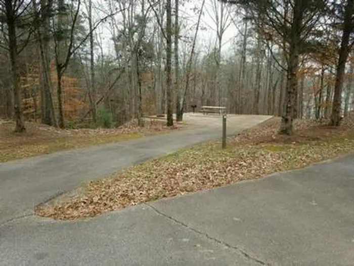
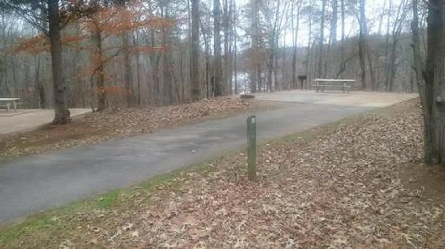
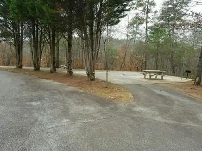
Overview Toto Creek Campground lies approximately 30 miles north of Buford Dam on Lake Sidney Lanier. The site features beautiful views of the lake as well as excellent access to picnicking and boating. The lake, named for the poet, Sidney Lanier, is well known for its aqua-blue colored water, spectacular scenery and access to recreational activities. Each year, over 11 million people come to visit the lake. Recreation Toto Creek Campground offers many outdoor recreation opportunities including fishing, swimmming and boating. The park also features a small walking path with its own picnic tables and grills. A boat ramp provides greater access to water activities. Facilities Each campsite offers an impact pad with a picnic table, fire pit, and lantern hangar. A communal water hydrant is located near site #1. Restroom is located near park entrance. Natural Features Lake Lanier boasts 38,000 surface acres of water, 692 miles of shoreline and over 100 small islands. Its location in the forested foothills of the Georgia Blue Ridge Mountains makes for a beautiful backdrop to any activity. Nearby Attractions The cities of Dawsonville and Dalonega provide lots of attractions for visitors, including shopping, restaurants, museums and much more. Amicalola Falls Sate Park is just a half hour drive Northwest of the campground. Charges & Cancellations Cancellations must be made via the online/phone reservation system.
From the managing agency.
Is Toto Creek Campground free?
We do not have a fee on record for Toto Creek Campground. Confirm the cost locally before you go.
How do I get to Toto Creek Campground?
Toto Creek Campground is at 34.3949, -83.9868. We do not hold written directions for this one, so navigate to the coordinates.
Nearby
SourceSource data is agency published. Last synced September 19, 2026. Community reports and photos are submitted by travelers and are not verified by the agency.
