
LITTLE HALL SHELTER (GA)
Campground · Fee not listed
Fast facts
- Cost
- Not listed. Check locally.
- Type
- Campground
- Phone
- 770-945-9531
- Nearest dump station
- North River Checking Station · 69.7 mi
- Coordinates
- 34.3140, -83.9444
- Last verified
- September 19, 2026
About this place
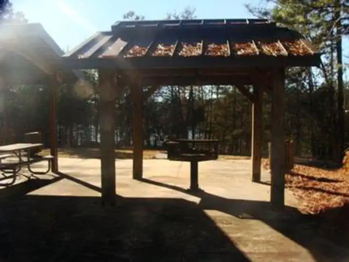
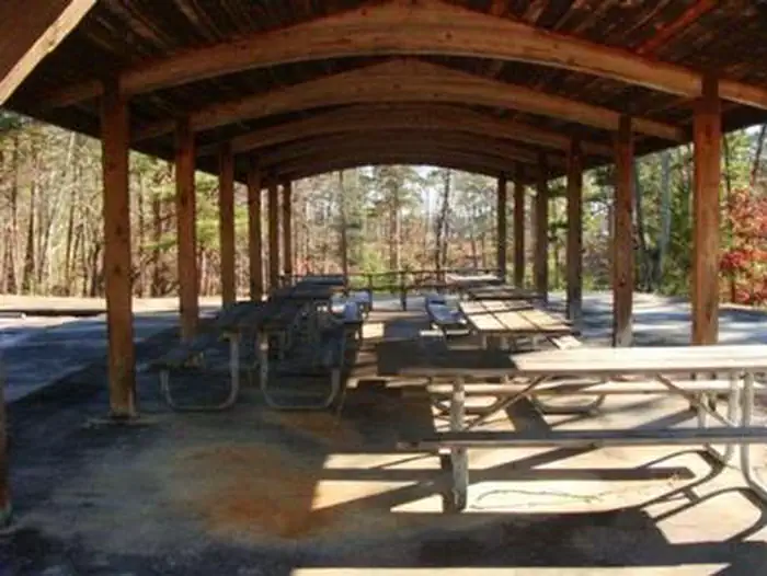
Overview Little Hall Park lies approximately 30 miles north of Buford Dam on Lake Sidney Lanier. The site features beautiful views of the lake as well as excellent access to swimming, picnicking, and boating. The lake, named for the poet, Sidney Lanier, is well known for its aqua-blue colored water, spectacular scenery and variety of recreational activities. Each year, approximately 11.8 million people come to visit. Recreation Facilities Little Hall Park offers access to a designated swim beach, picnic areas and restrooms. Natural Features Lake Lanier boasts 38,000 surface acres, 690 miles of shoreline and over 100 small islands. Its location in the forested foothills of the Georgia Blue Ridge Mountains, makes for a beautiful backdrop to any activity. Nearby Attractions Nearby attractions include boat ramps and other USACE parks.
From the managing agency.
Is LITTLE HALL SHELTER (GA) free?
We do not have a fee on record for LITTLE HALL SHELTER (GA). Confirm the cost locally before you go.
How do I get to LITTLE HALL SHELTER (GA)?
LITTLE HALL SHELTER (GA) is at 34.3140, -83.9444. We do not hold written directions for this one, so navigate to the coordinates.
Nearby
SourceSource data is agency published. Last synced September 19, 2026. Community reports and photos are submitted by travelers and are not verified by the agency.
