
CONEROSS PARK
Campground · Fee not listed
Fast facts
- Cost
- Not listed. Check locally.
- Type
- Campground
- Phone
- 888-893-0678 (HARTWELL PROJECT OFFICE)
- Nearest dump station
- Deep Creek RV Sanitary Station · 67.3 mi
- Coordinates
- 34.5911, -82.8972
- Last verified
- September 19, 2026
About this place
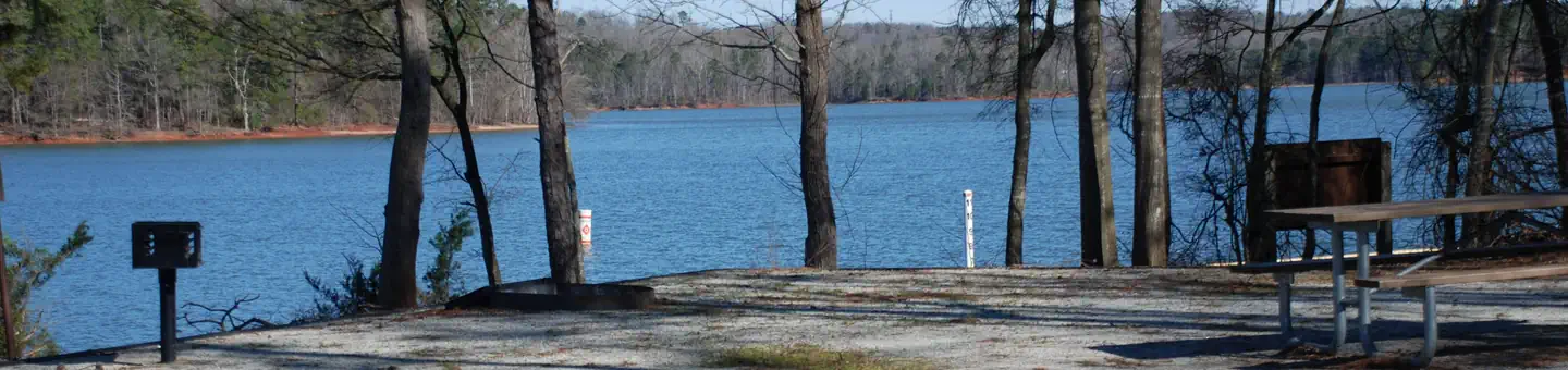
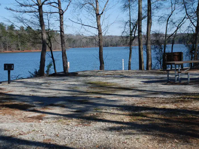
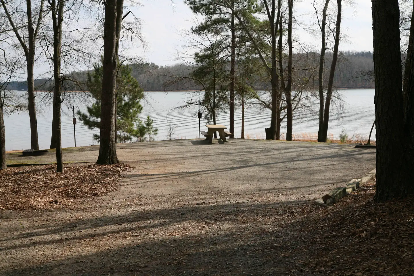
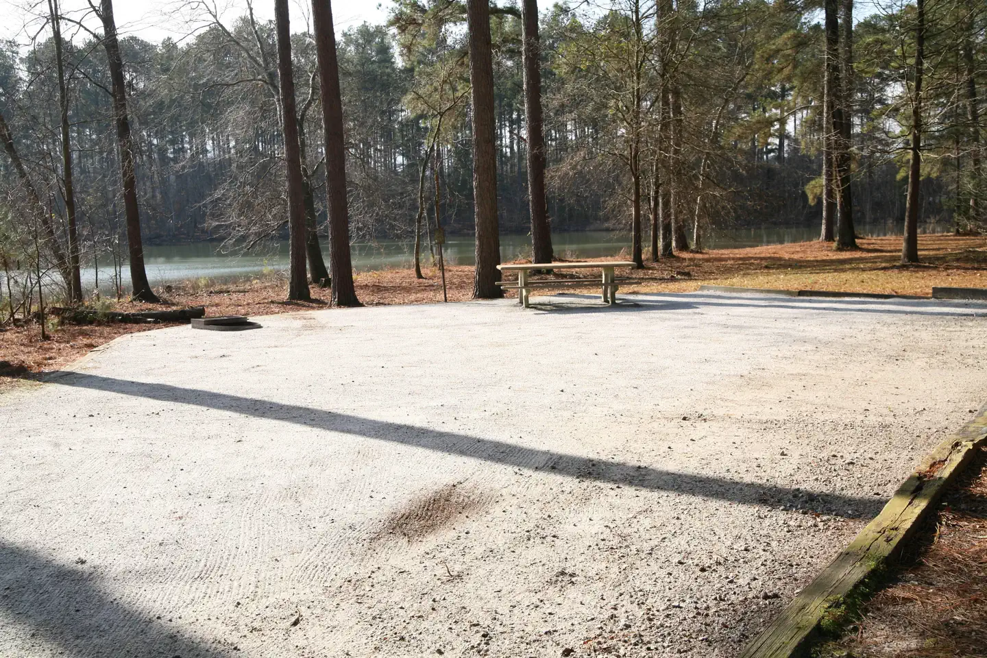
Overview Coneross Campground is a moderately sloping, heavily wooded 136 acre site of mixed hardwoods and pines. The site presently offers camping and boat launching facilities to include: 1 gatehouse/entrance, 2 park attendant campsites, 106 public use campsites (94 with full water and electric hookups and 12 primitive sites with impact pad only), 4 comfort stations with showers, 2 dump stations, 1 boat ramp, 1 courtesy dock, 4 playgrounds, 2 designated swim areas/beaches, and associated paved roads and parking areas throughout. Recreation Fishing is one of the most popular activities at the lake. Sought-after species include largemouth bass, bream, crappie, catfish, striped bass and hybrid bass. The lake appeals to boaters of all kinds, whether their specialty is canoeing, sailing or motor boating. Coves and areas of quiet water provide water skiers with excellent surfaces. Swimmers will find sand beaches and designated swim areas along the shoreline. Facilities The site presently offers camping and boat launching facilities to include: 1 gatehouse/entrance, 2 park attendant campsites, 106 public use campsites (94 with full water and electric hookups and 12 primitive sites with impact pad only), 4 comfort stations with showers, 2 dump stations, 1 boat ramp, 1 courtesy dock, 4 playgrounds, 2 designated swim areas/beaches, and associated paved roads and parking areas throughout. Natural Features Hartwell Lake is a man-made lake bordering Georgia and South Carolina on the Savannah, Tugaloo and Seneca Rivers. The dam and lake area boasts 8 campgrounds and 11 day-use facilities that are operated by the US Army Corps of Engineers. The Hartwell Project was originally authorized for hydropower, flood control, and navigation. Later, recreation, water quality, water supply, and fish and wildlife management were added. Surrounding vegetation allows for plenty of shade, and the 962 miles of shoreline provide numerous swimming beaches, picnic areas and boat ramps. Nearby Attractions The campground is a short drive away from Clemson, South Carolina and Clemson University, offering additional tourism opportunities, along with grocery stores, gas stations and restaurants. Charges & Cancellations - Once your reservation has been created, there will be a $10.00 fee to cancel and a $10.00 fee to change your site or dates. - Cancellations made the day before, or up to the day after your arrival date will also be charged the first night use fee. - Reserved campsites will be held until check out time ( 2 p.m.) on the day following your scheduled arrival date. If you do not arrive at campground by 2 p.m. to fulfill your reservation, your reservation will be cancelled and you will be assessed a $20 service fee and forfeit the first night use fee. - If your reservation is for one night and you have been charged the first nights use fee, there is no $10 service fee. Refunds: - To insure fairness for all Recreation.gov customers, any reservation with departure dates outside the 6 or 12 month maximum window cannot be changed or cancelled until 18 days after the reservation is made. - Refunds must be requested no later than 14 days after scheduled departure date. Refunds may be requested through NNRS Customer Service at 888-448-1474. Refunds for bank card payments will be issued as a credit to the original bank card. Cash and check purchases will be refunded by check and may take up to 8 weekds for approval and processing.
From the managing agency.
Is CONEROSS PARK free?
We do not have a fee on record for CONEROSS PARK. Confirm the cost locally before you go.
How do I get to CONEROSS PARK?
CONEROSS PARK is at 34.5911, -82.8972. We do not hold written directions for this one, so navigate to the coordinates.
Nearby
SourceSource data is agency published. Last synced September 19, 2026. Community reports and photos are submitted by travelers and are not verified by the agency.
